Waterford in County Waterford, Munster, Ireland — Irish South-West ((Éire) North Atlantic Ocean)
Reginald's Tower
Photographed by Ian Lefkowitz, May 16, 2026
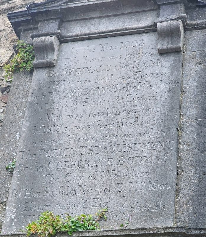
1. Reginald's Tower Marker
In the year 1003
this Tower was erected
by Reginald the Dane
In 1171 it was held as a Fortress
by Strongbow Earl of Pembroke
In 1463 by Statute 3rd Edward 4th
a Mint was established here
In 1819 it was Reedified in its
original Form & appropriated to
The Police Establishment
by the Corporate Body of
The City of Waterford
Rt. Hon. Sir John Newport Bt. MP Mayor
Henry Alcock Esq. } Sheriffs
William Weekes Esq. }
Erected 1819 by The City of Waterford.
Topics. This historical marker is listed in these topic lists: Forts and Castles • Law Enforcement. A significant historical year for this entry is 1003 CE.
Location. 52° 15.628′ N, 7° 6.319′ W. Marker is in Waterford, Munster, in County Waterford. It is at the intersection of The Mall and Adelphi Quay on The Mall. Touch for map. Marker is at or near this postal address: 1 The Mall, Waterford, Munster, Ireland. Touch for directions.

Regionally, this marker is in the Ancient East. Globally, it is on the Atlantic Ocean, in the North Atlantic Region, in Europe, on the Island of Ireland, on the Celtic Fringe, in the European Union, in Atlantic Europe, on one of the British Isles,
this page online
Other nearby markers. At least 8 other markers are within walking distance of this marker: A different marker also named Reginald's Tower (here, next to this marker); Dundory / Reginald's Tower (here, next to this marker); a different marker also named Reginald's Tower (here, next to this marker); Thomas Francis Meagher (a few steps from this marker); Medieval City Walls (a few steps from this marker); Viking Ship (a few steps from this marker); S.S. Coningbeg (within shouting distance of this marker); S.S. Formby (within shouting distance of this marker). Touch for a list and map of all markers in Waterford.
Also see . . . The Quay of Waterford (The Dublin Penny Journal, Vol. 1, No. 24, Dec. 8, 1832). (Submitted on June 21, 2026, by Ian Lefkowitz of New York, New York.)
Photographed by Ian Lefkowitz, May 16, 2026
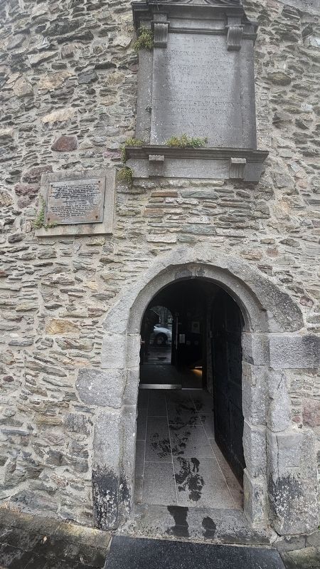
2. Reginald's Tower Marker
This marker is located above the entrance to Reginald's Tower.
Detroit Publishing Company (courtesy Library of Congress, Photochrom print collection), circa 1900
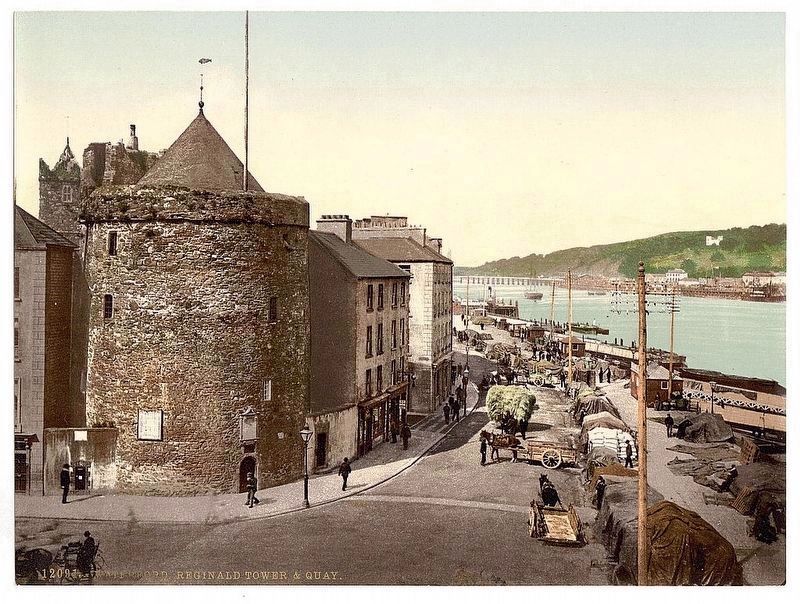
3. Reginald Tower and Quay
The marker is visible here just above the tower entrance.
Credits. This page was last revised on June 23, 2026. It was originally submitted on June 21, 2026, by Ian Lefkowitz of New York, New York. This page has been viewed 16 times since then. Photos: 1, 2. submitted on June 21, 2026, by Ian Lefkowitz of New York, New York. 3. submitted on June 23, 2026. • Andrew Ruppenstein was the editor who published this page.
