Scoresby in Knox, Victoria, Australia — Oceania
Scoresby Wesleyan Church
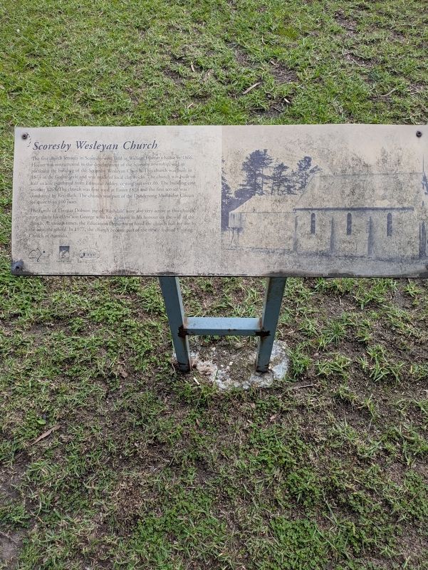
Photographed by Dean Barton-Ancliffe, June 12, 2026
1. Scoresby Wesleyan Church Marker
The family of Thomas Dobson jnr of Rushdale were also very active at this church, particularly his eldest son George who has a plaque in his honour on the wall of the church. At various times, the Education Department hired the church hall for use by the adjacent school. In 1977, the church became part of the newly formed Uniting Church of Australia.
Erected by Knox City Council and Knox Historical Society.
Topics. This historical marker is listed in these topic lists: Architecture • Colonial Era • Religion & Religious Structures
this page online
Location. 37° 53.918′ S, 145° 13.857′ E. Marker is in Scoresby, Victoria, in Knox. It is on Ferntree Gully Road 0.1 kilometers Lynton Place, on the left when traveling east. Touch for map. Marker is at or near this postal address: 1351 Ferntree Gully Rd, Scoresby VIC 3179, Australia. Touch for directions.

Regionally, it is in Oceania, in Australasia, in the Pacific Ocean, in South Pacific, on the Pacific Rim, in the Western World, and in the Anglosphere. Historically, it finds itself in what was once a British colony.
Other nearby markers. At least 8 other markers are within 5 kilometers of this marker, measured as the crow flies: Original Scoresby School (within shouting distance of this marker); An Entwined History (approx. 1.7 kilometers away); Well (approx. 1.8 kilometers away); Cool Store - Dairy (approx. 1.8 kilometers away); Homestead (approx. 1.8 kilometers away); Rowville War Memorial (approx. 2.4 kilometers away); Rowville Carwash (approx. 3.2 kilometers away); The Opperman Trails (approx. 3.6 kilometers away).
Also see . . . Former Methodist Church.
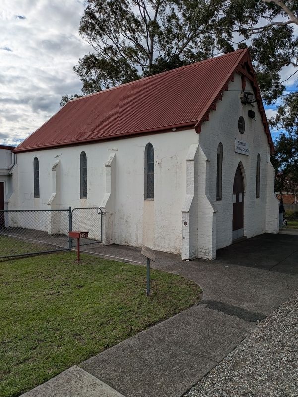
Photographed by Dean Barton-Ancliffe, June 12, 2026
2. Scoresby Wesleyan Church Marker in front of the Church
Credits. This page was last revised on June 22, 2026. It was originally submitted on June 21, 2026, by Dean Barton-Ancliffe of Rowville, Victoria. This page has been viewed 16 times since then. Photos: 1, 2. submitted on June 21, 2026, by Dean Barton-Ancliffe of Rowville, Victoria. • Andrew Ruppenstein was the editor who published this page.
