Burns Park in Ann Arbor in Washtenaw County, Michigan — The American Midwest (Great Lakes)
Native American Land Gift
Photographed by Skyler Leslie
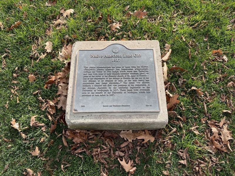
1. Native American Land Gift Marker
This plaque commemorates the grant of lands from the Ojibwe (Chippewa), Odawa (Ottawa), and Bodewadimi (Potawatomi) through the Treaty of Fort Meigs, which states that "believing they may wish some of their children hereafter educated, [they] do grant to the rector of the Catholic church of St. Anne of Detroit… and to the corporation of the college at Detroit, for the use of said college, to be retained, or sold as the said rector and corporation may judge expedient…" The rector was Gabriel Richard, a founder and first vice president of the corporation of the college, chartered by the territorial legislature as the University of Michigania in 1817. These lands were eventually sold to the benefit of the University of Michigan, which was relocated to Ann Arbor in 1837.
Erected 2001 by History and Traditions Committee. (Marker Number 8.)
Topics. This historical marker is listed in these topic lists: Education • Indigenous Peoples and Communities • Religion & Religious Structures. A significant historical year for this entry is 1817.
Location. 42° 16.683′ N, 83° 44.283′ W. Marker is in Ann Arbor, Michigan, in
this page online

Regionally, this marker is in Southeast Michigan and in Greater Detroit. It is also in the American Midwest. Globally, it is in North America, the Western Hemisphere, the Western World, and the Anglosphere. Historically, it finds itself in what was once the Northwest Territory.
Other nearby markers. At least 8 other markers are within walking distance of this marker: First University Hospital (within shouting distance of this marker); Michigan Chapter of the Scabbard and Blade (within shouting distance of this marker); The University of Michigan Men's Glee Club (about 400 feet away, measured in a direct line); Hill Auditorium (about 400 feet away); Michigan League (about 400 feet away); The Central Forty and The Diag (about 500 feet away); Acacia (about 600 feet away); The University Expands (about 700 feet away). Touch for a list and map of all markers in Ann Arbor.
Credits. This page was last revised on July 20, 2026. It was originally submitted on June 22, 2026, by Skyler Leslie of Ann Arbor, Michigan. This page has been viewed 16 times since then. Photo 1. submitted on June 22, 2026, by Skyler Leslie of Ann Arbor, Michigan. • Devry Becker Jones was the editor who published this page.
