
Near Cedar Lane in Matagorda County, Texas — The American South (West South Central)
Shiloh Missionary Baptist Church
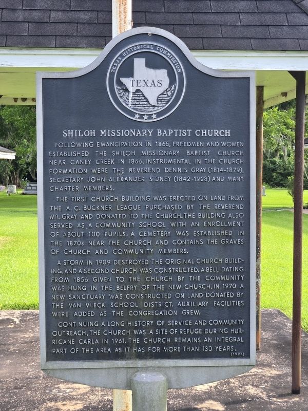
Photographed by Doug Green, June 21, 2026
1. Shiloh Missionary Baptist Church Marker
Following emancipation in 1865, freedmen and women established the Shiloh Missionary Baptist Church near Caney Creek in 1866. Instrumental in the church formation were the Reverend Dennis Gray (1814-1879), Secretary John Alexander Sidney (1842-1928) and many charter members.
The first church building was erected on land from the A. C. Buckner league purchased by the Reverend Mr. Gray and donated to the church. The building also served as a community school with an enrollment of about 100 pupils. A cemetery was established in the 1870s near the church and contains the graves of church and community members.
A storm in 1909 destroyed the original church building, and a second church was constructed. A bell dating from 1856 given to the church by the community was hung in the belfry of the new church. In 1970 a new sanctuary was constructed on land donated by the Van Vleck school district. Auxiliary facilities were added as the congregation grew.
Continuing a long history of service and community outreach, the church was a site of refuge during hurricane Carla in 1961. The church remains an integral part of the area
this page online
Erected 1997 by Texas Historical Commission. (Marker Number 4683.)
Topics. This historical marker is listed in these topic lists: African Americans • Cemeteries & Burial Sites • Religion & Religious Structures. A significant historical year for this entry is 1866.
Location. 28° 56.302′ N, 95° 43.19′ W. Marker is near Cedar Lane, Texas, in Matagorda County. It is on County Road 160 ¼ mile south of FM 521, on the right when traveling south. Touch for map. Marker is at or near this postal address: 244 County Rd 160, Bay City TX 77414, United States of America. Touch for directions.

Regionally, this marker is in the American South and on the Gulf Coast. Globally, it is in North America, a Gulf of Mexico state, the Western Hemisphere, the Western World, and the Anglosphere. Historically, it finds itself in what was once New Spain, the Republic of Texas, one of the Confederate States of America, and the Antebellum South.
Other nearby markers. At least 8 other markers are within 9 miles of this marker, measured as the crow flies: Levi Jordan Plantation (approx. 6 miles away); McCroskey-Stringfellow House

Photographed by Doug Green, June 21, 2026
2. Shiloh Missionary Baptist Church
Another marker is no longer nearby. Cedar Lake Salt Works (was approx. 5.7 miles away but has been confirmed missing).
Credits. This page was last revised on June 22, 2026. It was originally submitted on June 22, 2026, by Doug Green of Sugar Land, Texas. This page has been viewed 12 times since then. Photos: 1, 2. submitted on June 22, 2026, by Doug Green of Sugar Land, Texas. • James Hulse was the editor who published this page.
