Near Hazel Patch in Laurel County, Kentucky — The American South (East South Central)
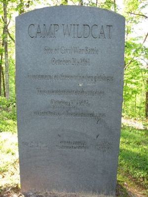
Camp Wildcat
Site of Civil War Battle
— October 21, 1861 —
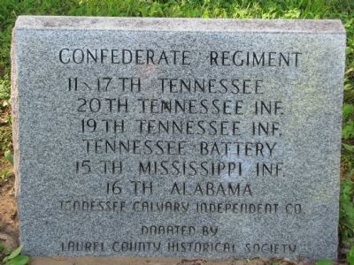
Erected 1992 by Laurel County Historical Society.
Topics. This historical marker is listed in this topic list: War, US Civil. A significant historical date for this entry is October 17, 1992.
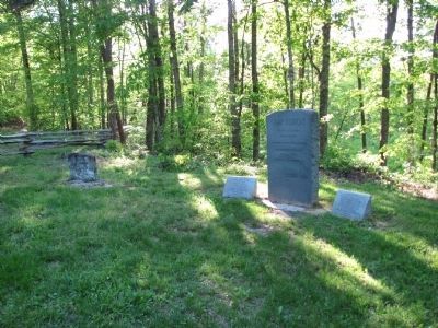
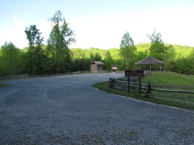
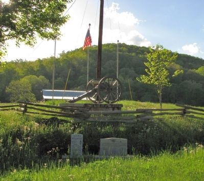
Location. 37° 15.921′ N, 84° 12.087′ W. Marker is near Hazel Patch, Kentucky, in Laurel County. Marker is on Old Wilderness Road, 3.2 miles north of North Laurel Road (U.S. 25), on the right when traveling north. Marker is on the Camp Wildcat Battlefield approximately 300 feet from the 'visitor center'. Directions to the battlefield are clearly marked from both Interstate 75 (Exit 49) and US Hwy 25. Touch for map. Marker is in this post office area: East Bernstadt KY 40729, United States of America. Touch for directions.
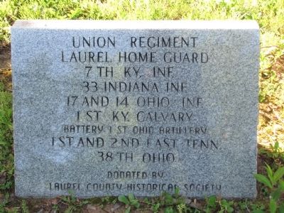
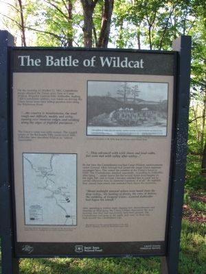
Other nearby markers. At least 8 other markers are within 3 miles of this marker, measured as the crow flies. The Battle of Wildcat (here, next to this marker); Nerve Center for the Union Army (about 300 feet away, measured in a direct line); Battle of Camp Wildcat (about 500 feet away); a different marker also named Battle of Camp Wildcat (about 500 feet away); Camp Wildcat and the Wilderness Road (approx. 0.4 miles away); Skaggs Trace (approx. 1.9 miles away); a different marker also named Camp Wildcat (approx. 2.2 miles away); Congressional Medal of Honor (approx. 2.4 miles away).
Also see . . . Camp Wildcat Preservation Foundation. This is the main site for the main organization responsible for preserving the site. (Submitted on May 4, 2010, by Lee Hattabaugh of Capshaw, Alabama.)
Additional commentary.
1.
I have visited Hazel Patch, KY every year since 1950. My aunt and uncle, Betty and Elmer (Boots) Eversole owned the one and only store-post office-home in the "town". I have seen the Civil War tomb stones all my life. My mom was Betty's sister.
If you travel about a half mile NE of the site of the store there is a large rock on the face of a very large hill that has in it a huge formation in which a hospital may have been located. On the walls of this "cave" are many notations from the troops stating their names, military companies, and dates. As kids we loved to visit, read, and imagine who these men were.
David Carroll
Editor's Note: Thank you for your interest in the Historical Marker database and for sharing a bit of your family's connection with this marker.
If you have any historical photos or background about the sites mentioned, please consider adding them to this page.
Thank you, ~Kevin Note To Editor only visible by Contributor and editor
— Submitted August 6, 2010, by David carroll of Ocala, Florida.
Credits. This page was last revised on June 16, 2016. It was originally submitted on May 4, 2010, by Lee Hattabaugh of Capshaw, Alabama. This page has been viewed 1,536 times since then and 32 times this year. Photos: 1, 2, 3, 4, 5, 6, 7, 8. submitted on May 4, 2010, by Lee Hattabaugh of Capshaw, Alabama. • Craig Swain was the editor who published this page.
