High Falls in Ulster County, New York — The American Northeast (Mid-Atlantic)
Telegraph Office
Historic Transportation
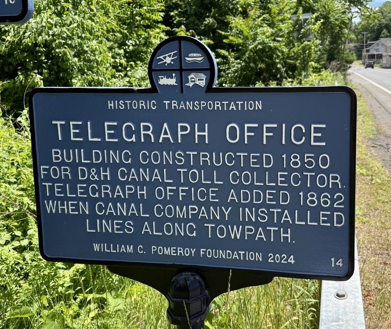
Building constructed 1850 for D&H Canal toll collector. Telegraph office added 1862 when canal company installed lines along the towpath.
Erected 2024 by William G. Pomeroy Foundation. (Marker Number 14.)
Topics and series. This historical marker is listed in these topic lists: Communications • Industry & Commerce • Waterways & Vessels. In addition, it is included in the Historic Transportation (WGPF) series list. A significant historical year for this entry is 1850.
Location. 41° 49.635′ N, 74° 7.635′ W. Marker is in High Falls, New York, in Ulster County. It is at the intersection of Main Street (New York State Route 213) and 2nd Street, on the right when traveling west on Main Street. Touch for map. Marker is at or near this postal address: 5 Main St, High Falls NY 12440, United States of America. Touch for directions.

Regionally, this marker is in Upstate New York and in the Hudson Valley. It is also in the American Northeast, in the Mid-Atlantic, and on the Eastern Seaboard. Globally, it is in the North Atlantic Region, North America, the Western Hemisphere, the Western World, and the Anglosphere.
this page online
Other nearby markers. At least 8 other markers are within walking distance of this marker: Canal Aqueduct (here, next to this marker); Old Stone Aqueduct (a few steps from this marker); High Falls War Memorial (a few steps from this marker); Delaware and Hudson Canal (within shouting distance of this marker); Old Depuy House (within shouting distance of this marker); Hoggees (within shouting distance of this marker); Roebling Aqueduct Abutment Trail (within shouting distance of this marker); Discovery of Cement (about 300 feet away, measured in a direct line). Touch for a list and map of all markers in High Falls.
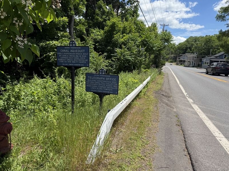
Photographed by Devry Becker Jones (CC0), June 19, 2026
2. Canal Aqueduct and Telegraph Office Markers along Main Street
Credits. This page was last revised on June 22, 2026. It was originally submitted on June 22, 2026, by Devry Becker Jones of Washington, District of Columbia. This page has been viewed 15 times since then. Photos: 1, 2. submitted on June 22, 2026, by Devry Becker Jones of Washington, District of Columbia.
