Marietta in Cobb County, Georgia — The American South (South Atlantic)
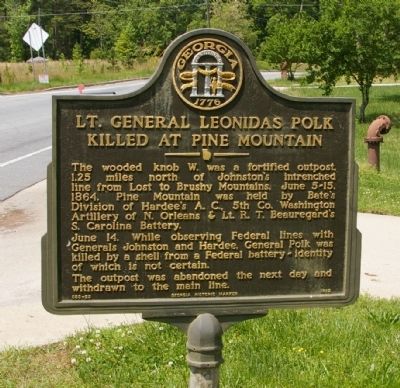
Lt. General Leonidas Polk Killed at Pine Mountain
Photographed by David Seibert, April 27, 2010
1. Lt. General Leonidas Polk Killed at Pine Mountain Marker
June 14. While observing Federal lines with Generals Johnston and Hardee, General Polk was killed by a shell from a Federal battery -- identity of which is not certain.
The outpost was abandoned the next day and withdrawn to the main line.
Erected 1982 by Georgia Department of Natural Resources. (Marker Number 033-23.)
Topics and series. This historical marker is listed in this topic list: War, US Civil. In addition, it is included in the Georgia Historical Society series list. A significant historical year for this entry is 1864.
Location. 33° 59.639′ N, 84° 38.287′ W. Marker is in Marietta, Georgia, in Cobb County. It is at the intersection of Stilesboro Road and Pine Mountain Circle, on the right when traveling west on Stilesboro Road. Touch for map. Marker is at or near this postal address: 2974 Stilesboro Road, Kennesaw
this page online

Regionally, this marker is in the Piedmont and in Metro Atlanta. It is also in the American South and specifically in the Deep South. Globally, it is in North America, the Western Hemisphere, the Western World, and the Anglosphere. Historically, it finds itself in what was once the original Cherokee Nation, the territory of the Mississippian Culture, one of the original Thirteen Colonies, one of the Confederate States of America, and the Antebellum South.
Other nearby markers. At least 8 other markers are within 2 miles of this marker, measured as the crow flies: Pine Mountain (approx. half a mile away); General Leonidas Polk Memorial (approx. 0.6 miles away); Captain Peter Simonson (approx. 1.2 miles away); Civil War Action Around Latimer's Farm (approx. 1.3 miles away); a different marker also named Civil War Action Around Latimer’s Farm (approx. 1.4 miles away); Battle of Pine Knob (approx. 1½ miles away); The Reversed Trench (approx. 1.6 miles away); Hardee's Salient (approx. 1.9 miles away). Touch for a list and map of all markers in Marietta.
Another
Photographed by David Seibert, April 27, 2010
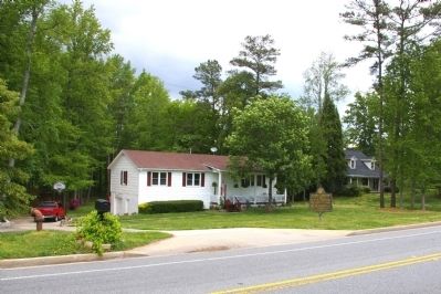
2. Lt. General Leonidas Polk Killed at Pine Mountain Marker
The marker is on an unusually short monopole.
More about this marker. This marker replaced an earlier marker of the same title and text at this location erected by the Georgia Historical Commission.
Also see . . . Leonidas Polk: Southern Civil War General. An interesting biographical story of Lt. General Leonidas Polk, reprinted from the 'Civil War Times." (Submitted on May 4, 2010, by David Seibert of Sandy Springs, Georgia.)
Photographed by David Seibert, April 27, 2010
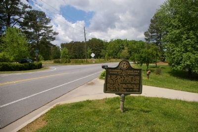
3. Lt. General Leonidas Polk Killed at Pine Mountain Marker
Looking west on Stilesboro Road, toward Pine Mountain
Photographed by David Seibert, April 27, 2010
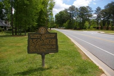
4. Lt. General Leonidas Polk Killed at Pine Mountain Marker
Looking east on Stilesboro Road, toward Kennesaw Mountain

Library of Congress
5. Lt. General Leonidas Polk
Bishop of Louisiana
Bishop of Louisiana
-- Brady, N.Y.
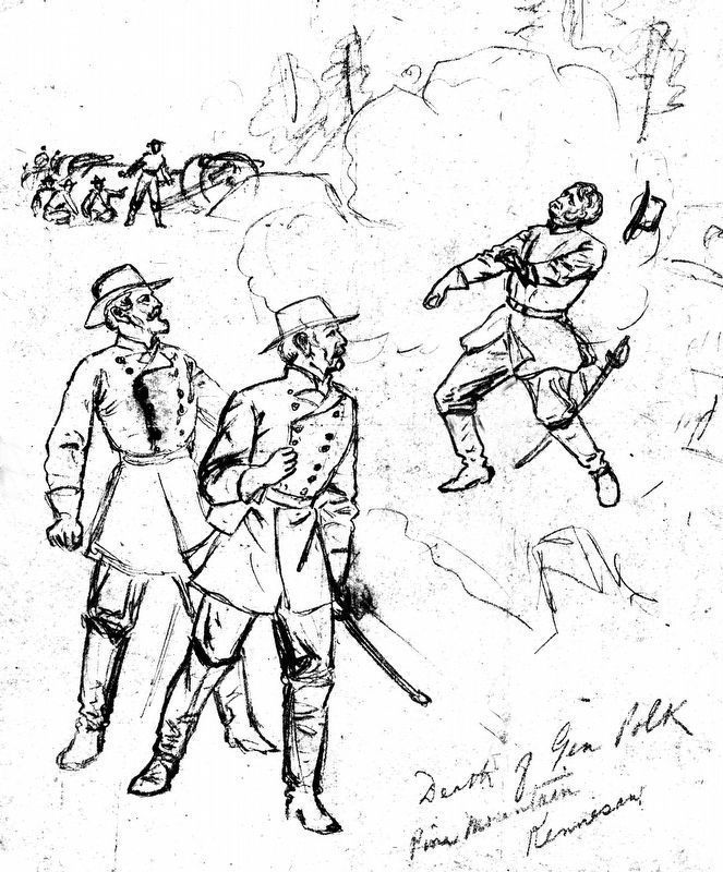
Library of Congress
6. Death of Gen. Polk
Pine Mountain
Kennesaw
June 14, 1864
Pine Mountain
Kennesaw
June 14, 1864
by Alfred R. Waud
Credits. This page was last revised on May 28, 2020. It was originally submitted on May 4, 2010, by David Seibert of Sandy Springs, Georgia. This page has been viewed 4,567 times since then and 218 times this year. Photos: 1, 2, 3, 4. submitted on May 4, 2010, by David Seibert of Sandy Springs, Georgia. 5, 6. submitted on January 1, 2019, by Allen C. Browne of Silver Spring, Maryland. • Craig Swain was the editor who published this page.
