Brunswick in Medina County, Ohio — The American Midwest (Great Lakes)
This Cast Iron Marker
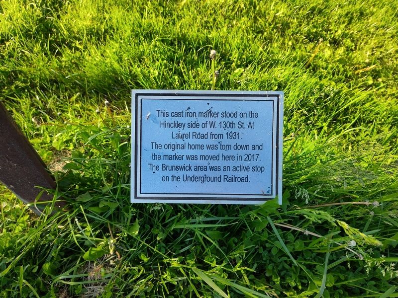
Photographed by Craig Doda, May 10, 2026
1. This Cast Iron Marker Marker
Erected 2017 by Brunswick Area Historical Society.
Topics. This historical marker is listed in these topic lists: Abolition & Underground RR • Architecture • Disasters. A significant historical year for this entry is 1931.
Location. 41° 13.602′ N, 81° 51.148′ W. Marker is in Brunswick, Ohio, in Medina County. It is at the intersection of Laurel Road and Aspen Lake Drive, on the right when traveling west on Laurel Road. Touch for map. Marker is at or near this postal address: 4607 Laurel Rd, Brunswick OH 44212, United States of America. Touch for directions.

Regionally, this marker is in Greater Cleveland and in the Western Reserve. It is also in the American Midwest and in the Corn Belt. Globally, it is in North America, the Western Hemisphere, the Western World, and the Anglosphere. Historically, it finds itself in what was once the Haudenosaunee (Iroquois) Confederacy,
this page online
Other nearby markers. At least 8 other markers are within 4 miles of this marker, measured as the crow flies: Historic Underground Railroad Station (here, next to this marker); The Stone Front Step (within shouting distance of this marker); Heritage Farm (within shouting distance of this marker); Brunswick Veterans (about 300 feet away, measured in a direct line); Brunswick's First Church Bell (about 300 feet away); Brunswick United Methodist Church (approx. one mile away); Liverpool Township / Liverpool and Valley City (approx. 3.9 miles away); First Congregational Church of Weymouth (approx. 4 miles away). Touch for a list and map of all markers in Brunswick.
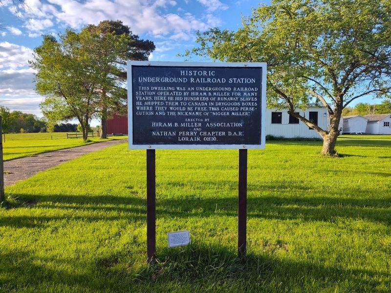
Photographed by Craig Doda, May 10, 2026
2. This Cast Iron Marker Marker
Credits. This page was last revised on June 24, 2026. It was originally submitted on June 23, 2026, by Craig Doda of Napoleon, Ohio. This page has been viewed 16 times since then. Photos: 1, 2. submitted on June 23, 2026, by Craig Doda of Napoleon, Ohio. • Devry Becker Jones was the editor who published this page.
