Oudeschild in Texel, North Holland, Netherlands — Northwestern Europe
De Zuiderhaven
⎯⎯⎯
The “South Harbor”
| — | Onze Thuishaven | — |
Photographed by Andrew Ruppenstein, June 1, 2026
1. De Zuiderhaven / The “South Harbor” Marker

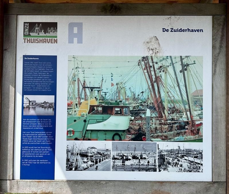
Vanaf 1780 heeft Texel een echte beschutte haven voor de schepen. Vissersschepen, blazen en botters hadden hier hun ligplaats. Maar ook de tientallen beurt- en kaagschepen die tussen Texel, Harlingen, de plaatsen rondom de Zuiderzee en Amsterdam (en verder) voeren. Vrijwel alle goederen van en naar het eiland werden met beurtschepen vervoerd. De lading varieerde van levende have - zoals koeien en schapen tot zeegras of vlas en van dozen eieren tot stapels hout.
Aan de oostkant van de haven lag de scheepswerf voor de bouw van kleinere schepen. Behalve voor de bouw, was deze ook belangrijk voor reparaties en onderhoud.
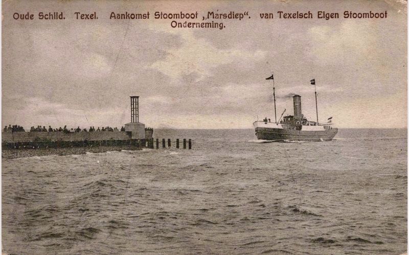
Het voor Texel belangrijkste vervoer is ongetwijfeld de veerdienst Texel-Den Helder. Vanaf 1907 worden door Texels Eigen Stoombootonderneming (TESO) vanuit de haven van Oudeschild de overtochten onderhouden.
In 1933 wordt hier het Stoomboot-koffiehuis, het veerhuis van de TESO, gebouwd. Er komen een parkeeren opstelterrein voor auto's en op- en afrijbanen bij de kades.
In 1962 verhuizen de veerboten van de TESO naar de veerhaven bij 't Horntje.
The South Harbor
From
this page online
A shipyard for constructing smaller vessels was located on the east side of the harbor. In addition to shipbuilding, the yard played a vital role in repairs and maintenance.
Undoubtedly the most important transport link for Texel is the Texel–Den Helder ferry service. Since 1907, the company Texels Eigen Stoombootonderneming (TESO) has operated crossings from the harbor at Oudeschild.
In 1933, the Stoomboot-koffiehuis — the TESO ferry terminal — was built here. A parking and staging area for cars was added, along with access ramps leading to the quays.
In 1962, the TESO ferries relocated to the ferry terminal at 't Horntje.
(Marker
Photographed by Andrew Ruppenstein, June 1, 2026
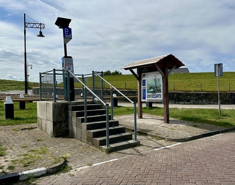
2. De Zuiderhaven / The “South Harbor” Marker - wide view
Topics. This historical marker is listed in these topic lists: Industry & Commerce • Waterways & Vessels. A significant historical year for this entry is 1780.
Location. 53° 2.319′ N, 4° 51.055′ E. Marker is in Oudeschild, Noord-Holland (North Holland), in Texel. It is on Haven, on the right when traveling west. The marker is on the right as one enters the parking lot. Touch for map. Marker is at or near this postal address: Haven 2, Oudeschild, Noord-Holland 1792 AE, Netherlands. Touch for directions.

Regionally, this marker is on the German Wadden Sea. Globally, it is in Europe, the European Union, Atlantic Europe, the Benelux Low Countries, the Schengen Area, Western Europe, and the Western World. Historically, it finds itself in what was once the Holy Roman Empire.
Other nearby markers. At least 8 other markers are within 5 kilometers of this marker, measured as the crow flies: Harold E. Kious Rescued (within shouting distance of this marker); De haven… / Der Haven… / The Harbour… (within shouting distance of this marker); Siem de Waal Returns (within shouting distance of this marker); De Noorderhaven / The “North Harbor”
Photographed by Uitg. L. Bakker, Oosterend Texel, circa 1926
3. Oudeschild, Texel - arrival of the TESO boat Marsdiep
Credits. This page was last revised on June 24, 2026. It was originally submitted on June 24, 2026, by Andrew Ruppenstein of Lamorinda, California. This page has been viewed 12 times since then. Photos: 1, 2, 3. submitted on June 24, 2026, by Andrew Ruppenstein of Lamorinda, California.
