Near Charlestown in Clark County, Indiana — The American Midwest (Great Lakes)
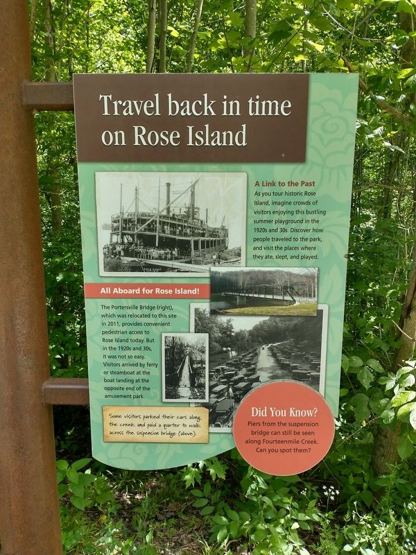
Travel back in time on Rose Island
Photographed by Tom Bosse, June 13, 2026
1. Travel back in time on Rose Island Marker
A Link to the Past
As you tour historic Rose Island, imagine crowds of visitors enjoying this bustling summer playground in the 1920s and 30s. Discover how people traveled to the park, and visit the places where they at, slept, and played.
All Aboard for Rose Island!
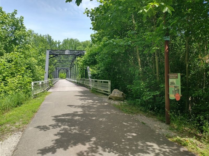
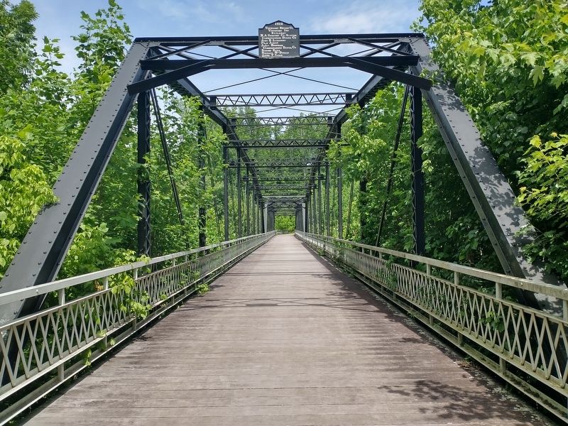
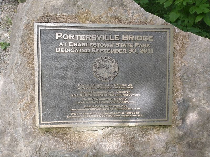
The Portersville Bridge (right), which was relocated in 2011, provides convenient pedestrian access to Rose Island today, but in the 1920s and 30s, it was not so easy. Visitors arrived by ferry or steamboat at the boat landing at the opposite end of the amusement park.
Did you know?
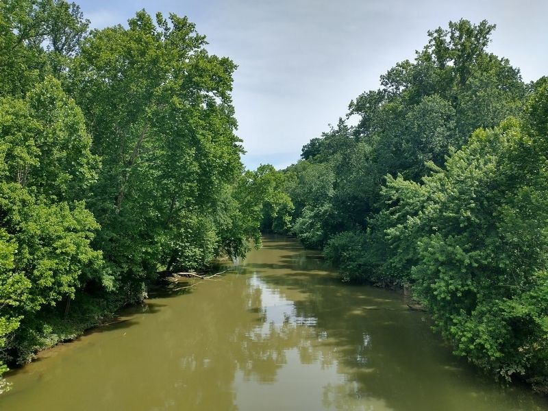
Piers from the suspension bridge can still be seen along Fourteen Mile Creek. Can you spot them?
[Caption:]
Some visitors parked their cars along the creek and paid a quarter to walk across the suspension bridge (above).
Erected by Indiana Department of Natural Resources.
Topics and series. This historical marker is listed in these topic lists: Bridges & Viaducts • Entertainment • Parks & Recreational Areas. In addition, it is included in the Rose Island Amusement Park series list. A significant historical year for this entry is 2011.
Location. 38° 25.562′ N, 85° 37.356′ W.
this page online

Regionally, this marker is in Southern Indiana. It is also in the American Midwest, in the Ohio River Valley, and in the Corn Belt. Globally, it is in North America, the Western Hemisphere, the Western World, and the Anglosphere. Historically, it finds itself in what was once the territory of the Mississippian Culture and also the Northwest Territory.
Other nearby markers. At least 8 other markers are within walking distance of this marker: Timeline of Rose Island (within shouting distance of this marker); Reclaimed by Nature (about 300 feet away, measured in a direct line); Building a Resort (about 300 feet away); Welcome to Rose Island! (about 300 feet away); Fourteen Mile Creek Boat Landing (about 300 feet away); Getting to the Island by Suspension Bridge (about 300 feet away); Rose Island Dance Hall (about 600 feet
Photographed by Tom Bosse, June 13, 2026
2. Travel back in time on Rose Island Marker
Photographed by Tom Bosse, June 13, 2026
3. The Portersville Bridge
Photographed by Tom Bosse, June 13, 2026
4. Piers for the suspension bridge can still be seen along both banks of Fourteen Mile Creek.
Photographed by Tom Bosse, June 13, 2026
5. The Portersville Bridge
Credits. This page was last revised on June 25, 2026. It was originally submitted on June 24, 2026, by Tom Bosse of Jefferson City, Tennessee. This page has been viewed 14 times since then. Photos: 1, 2, 3, 4, 5. submitted on June 24, 2026, by Tom Bosse of Jefferson City, Tennessee. • Devry Becker Jones was the editor who published this page.
