Cape Elizabeth in Cumberland County, Maine — The American Northeast (New England)
U.S Army at Fort Williams
The Military Years
Photographed by Larry Gertner, June 2, 2026
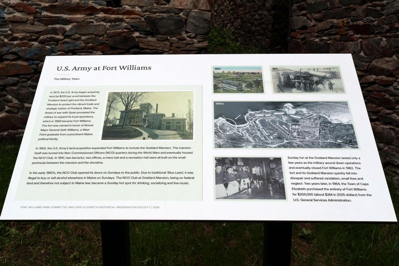
1. U.S Army at Fort Williams wayside
In 1873, the U.S. Army began acquiring land (at $200 per acre) between the Portland Head Light and the Goddard Mansion to protect the vibrant trade and strategic harbor of Portland, Maine. The threat of war with Spain prompted the military to expand its local operations, which in 1899 became Fort Williams. The fort was named in honor of Brevet Major General Seth Williams, a West Point graduate from a prominent Maine political family.
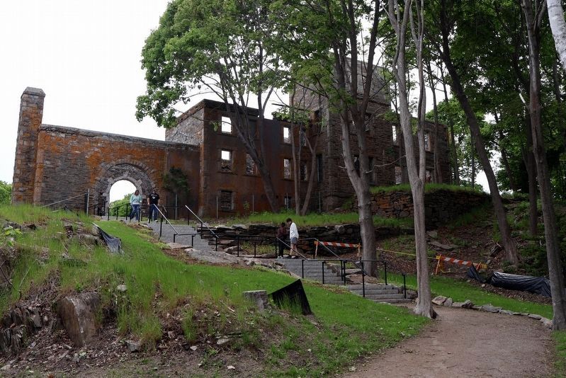
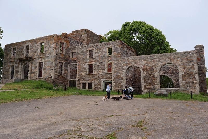
In 1902, the U.S. Army’s land acquisition expanded Fort Williams to include the Goddard Mansion. The mansion itself was turned into Non-Commissioned Officers (NCO) quarters during the World Wars and eventually housed the NCO Club. In 1941, two barracks, two offices, a mess hall and a recreation hall were all built on the same peninsula between the mansion and the shoreline.
In the early 1960’s, the NCO Club opened its doors on Sundays to the public. Due to traditional ‘Blue Laws’, it was illegal to buy or sell alcohol elsewhere in Maine on Sundays. The NCO Club at Goddard Mansion, being on federal land and therefore not subject to Maine law, became a Sunday hot spot for drinking, socializing
this page online
Sunday fun at the Goddard Mansion lasted only a few years as the military would down operations and eventually closed Fort Williams in 1962. The fort and Goddard Mansion quickly fell into disrepair and suffered vandalism, small fires and neglect. Two years later, the Town of Cape Elizabeth purchased the entirety of Fort Williams for $200,000 (about $2M in 2025 dollars) from the U.S. General Services Administration.
Erected 2026 by Fort Williams Park Committee and Cape Elizabeth Historical Preservation Society.
Topics. This historical marker is listed in these topic lists: Forts and Castles • Parks & Recreational Areas • War, Spanish-American. A significant historical year for this entry is 1873.
Location. 43° 37.583′ N, 70° 12.844′ W. Marker is in Cape Elizabeth, Maine, in Cumberland County. It can be reached from no nearby street. Touch for map. Marker is at or near this postal address: Fort Williams Park, Cape Elizabeth ME 04107, United States of America. Touch for directions.

Regionally, this marker is on Southern Maine Coast. It is also in the American Northeast, in New England, and on the Eastern
Photographed by Larry Gertner, June 2, 2026
2. The Goddard Mansion ruins
Other nearby markers. At least 8 other markers are within walking distance of this marker: Grand Times (here, next to this marker); John Goddard (here, next to this marker); Neglect, Hope and Repair (here, next to this marker); Goddard Mansion (within shouting distance of this marker); Battery Erasmus Keyes (about 500 feet away, measured in a direct line); Mining Casemate (about 700 feet away); Battery Hobart (approx. 0.2 miles away); Central Powerhouse (approx. 0.2 miles away). Touch for a list and map of all markers in Cape Elizabeth.
Also see . . . Fort Williams (Maine). Wikipedia entry (Submitted on June 27, 2026, by Larry Gertner of New York, New York.)
Photographed by Larry Gertner, June 2, 2026
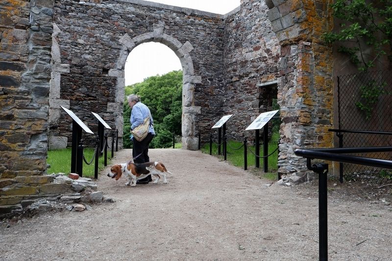
3. The wayside bank inside the former carriage house
Photographed by Larry Gertner, June 2, 2026
4. The Goddard Mansion ruins
Compare to photo on the wayside
Credits. This page was last revised on June 27, 2026. It was originally submitted on June 25, 2026, by Larry Gertner of New York, New York. This page has been viewed 18 times since then. Photos: 1, 2, 3, 4. submitted on June 25, 2026, by Larry Gertner of New York, New York.
