
Arlington in Bennington County, Vermont — The American Northeast (New England)
Welcome to Arlington
Est. 1761
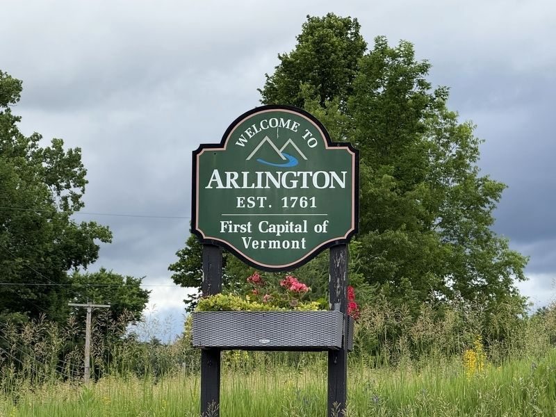
First capital of Vermont
Topics. This historical marker is listed in these topic lists: Colonial Era • Government & Politics • Political Subdivisions • Settlements & Settlers.
Location. 43° 2.725′ N, 73° 9.979′ W. Marker is in Arlington, Vermont, in Bennington County. It is at the intersection of Vermont Route 7A and Warm Brook Road, on the right when traveling north on Vermont Route 7A. Touch for map. Marker is at or near this postal address: 1717 Vermont Rte 7A, Arlington VT 05250, United States of America. Touch for directions.

Regionally, this marker is in Southern Vermont. It is also in the American Northeast and in New England. Globally, it is in North America, the Western Hemisphere, the Western World, and the Anglosphere. Historically, it finds itself in what was once the Vermont Republic.
Other nearby markers. At least 8 other markers are within 5 miles of this marker, measured as the crow flies: Remember Baker (approx. 1.6 miles away); Grist Mill (approx. 1.7 miles away); Chittenden Home (approx. 2 miles away); Dorothy Canfield Fisher
this page online
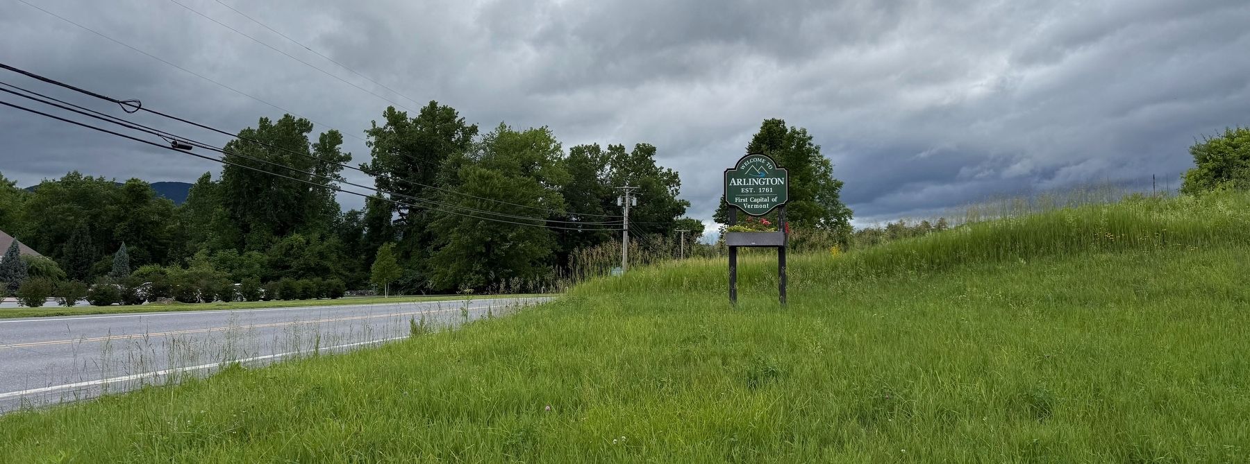
Photographed by Devry Becker Jones (CC0), June 20, 2026
2. Welcome to Arlington Marker along Vermont Route 7A
Credits. This page was last revised on June 25, 2026. It was originally submitted on June 25, 2026, by Devry Becker Jones of Washington, District of Columbia. This page has been viewed 12 times since then. Photos: 1, 2. submitted on June 25, 2026, by Devry Becker Jones of Washington, District of Columbia.
