Manchester Center in Bennington County, Vermont — The American Northeast (New England)
The Battenkill: The Early Years
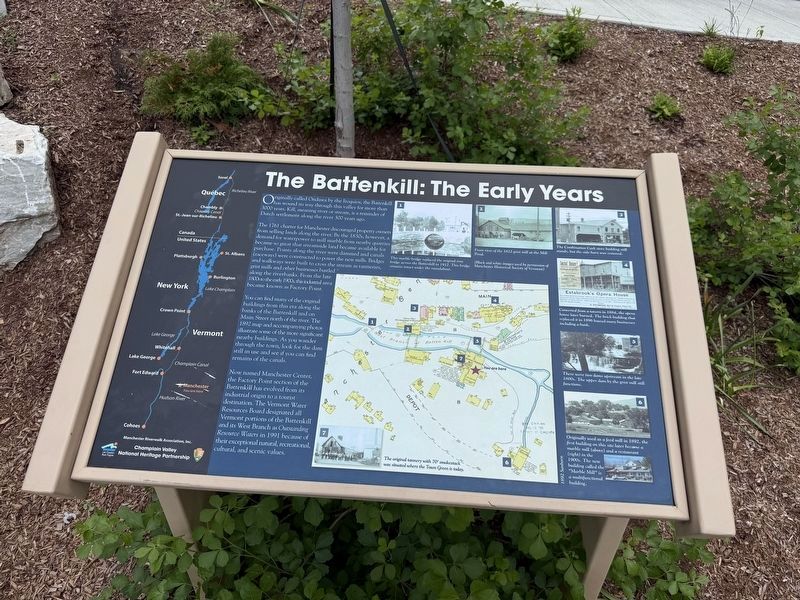
Originally called Ondawa by the Iroquois, the Battenkill has wound its way through this valley for more than 3000 years. Kill, meaning river or stream, is a reminder of Dutch settlement along the river 300 years ago.
The 1761 charter for Manchester discouraged property owners from selling lands along the river. By the 1830s, however, a demand for waterpower to mill marble from nearby quarries became so great that streamside land became available for purchase. Points along the river were dammed and canals (raceways) were constructed to power the new mills. Bridges and walkways were built to cross the stream as tanneries, grist mills and other businesses bustled along the riverbanks. From the late 1800s to the early 1900s, this industrial area became known as Factory Point.
You can find many of the original buildings from this era along the banks of the Battenkill and on Main Street north of the river. The 1892 map and accompanying photos illustrate some of the more significant nearby buildings. As you wander through the town, look for the dam still in use and see if you can find remains of the canals.
Now named
this page online
[Captions:]
❶ This marble bridge replaced the original iron bridge across the Battenkill in 1912. This bridge remains under the roundabout.
❷ Front view of the 1822 grist mill at the Mill Pond.
(Black and white images used by permission of Manchester Historical Society of Vermont)
❸ The Combination Cash store building still stands, but the side-barn was removed.
❹ Converted from a tavern in 1884, the opera house later burned. The brick building that replaced it in 1896 housed many businesses including a bank.
❺ There were two dams upstream in the late 1800s. The upper dam by the grist mill still functions.
❻ Originally used as a feed mill in 1892, the first building on this site later became a marble mill (above) and a restaurant (right) in the 1900s. The new building called the "Marble Mill" is a multifunctional building.
❼ The original tannery with 70' smokestack was situated where the Town Green is today.
Erected by Manchester
Topics. This historical marker is listed in these topic lists: Industry & Commerce • Settlements & Settlers • Waterways & Vessels.
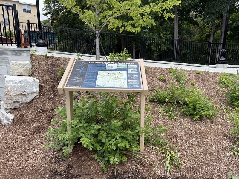
Location. 43° 10.585′ N, 73° 3.36′ W. Marker is in Manchester, Vermont, in Bennington County. It is in Manchester Center. It is on Depot Street (Vermont Route 11/30) east of Main Street ( Route 7A), on the right when traveling west. Touch for map. Marker is at or near this postal address: 41 Depot St, Manchester Center VT 05255, United States of America. Touch for directions.

Regionally, this marker is in Southern Vermont. It is also in the American Northeast and in New England. Globally, it is in North America, the Western Hemisphere, the Western World, and the Anglosphere. Historically, it finds itself in what was once the Vermont Republic.
Other nearby markers. At least 8 other markers are within walking distance of this marker: Manchester: Our Place in American History (within shouting distance of this marker); September 11, 2001 Memorial (within shouting distance of this marker); Veterans Memorial (within shouting distance of this marker); Wait Block (within shouting distance of this marker); Seth Warner Memorial Highway (about 400 feet away, measured in a direct line); Manchester (about 400 feet away); Ye Olde Tavern (approx. ¼ mile away); Manchester Vampire (approx. ¼ mile away). Touch for a list and map of all markers in Manchester.
Credits. This page was last revised on June 26, 2026. It was originally submitted on June 26, 2026, by Devry Becker Jones of Washington, District of Columbia. This page has been viewed 16 times since then. Photos: 1, 2. submitted on June 26, 2026, by Devry Becker Jones of Washington, District of Columbia.
