High Water Mark
June 25, 2011
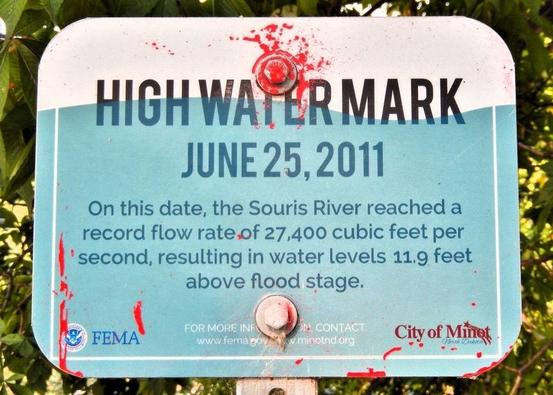
On this date, the Souris River reached a record flow rate of 27,400 cubic feet per second, resulting in water levels 11.9 feet above flood stage.
Erected by FEMA and the City of Minot.
Topics. This historical marker is listed in these topic lists: Disasters • Waterways & Vessels. A significant historical date for this entry is June 25, 2011.
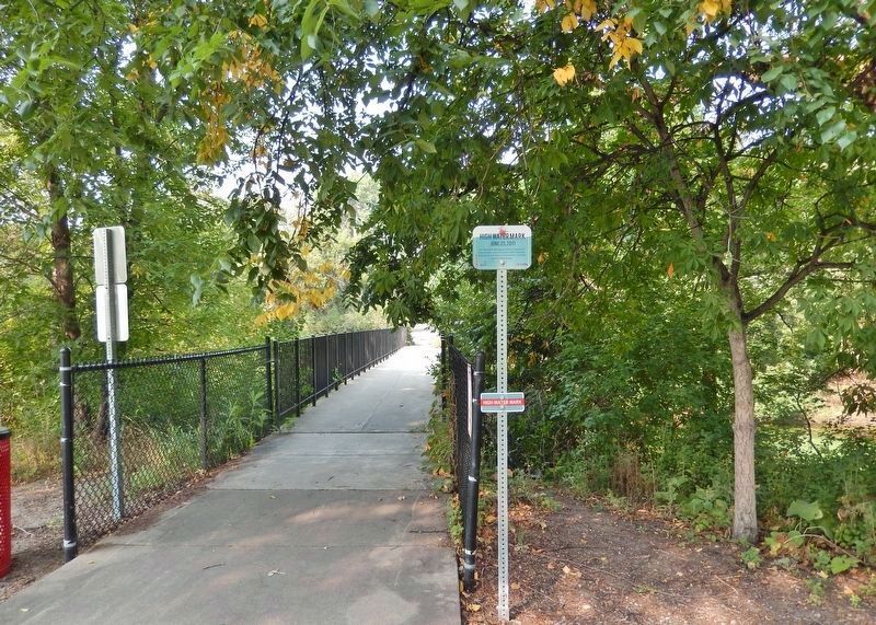
Location. 48° 14.082′ N, 101° 16.664′ W. Marker is in Minot, North Dakota, in Ward County. It can be reached from the intersection of East Burdick Expressway (Business U.S. 2) and 13th Street Southeast, on the right when traveling west. The marker is located beside the Eastwood Park Foot Bridge in Roosevelt Park, about 130 meters northwest of the Roosevelt Park Zoo. Touch for map. Marker is at or near this postal address: 1219 East Burdick Expressway, Minot ND 58701, United States of America. Touch for directions.

Regionally, this marker is in the Bakken Oil Patch. It is also in the American Lewis & Clark Corridor, on the prairies, and on the Northern Plains. Globally, it is in North America, the Western Hemisphere, the Western World, and the Anglosphere. Historically, it
this page online
Other nearby markers. At least 8 other markers are within walking distance of this marker: Commander Willis Winter Bradley, Jr. (about 400 feet away, measured in a direct line); ☆ Lieutenant Colonel Fred E. Smith (about 400 feet away); Private Frank F. Ross (about 400 feet away); ☆ Private Nels Wold (about 400 feet away); Private Richard M. Longfellow (about 400 feet away); First Lieutenant Orville Emil Bloch (about 400 feet away); Private John B. Kinne (about 400 feet away); ☆ Private First Class Henry Gurke (about 400 feet away). Touch for a list and map of all markers in Minot.
Also see . . . 2011 Souris River flood (Wikipedia).
Excerpt: The 2011 Souris/Mouse River flood in Canada and the United States occurred in June and was greater than a hundred-year flooding event for the river. The US Army Corps of Engineers estimated the flood to have a recurrence interval of two to five centuries.(Submitted on June 27, 2026, by Cosmos Mariner of Cape Canaveral, Florida.)Flooding in Saskatchewan the previous summer, in addition to heavy snowfall and a thick snowpack from the previous La Niña winter
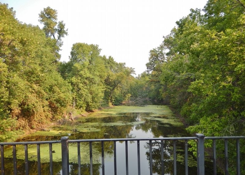
added to overflow on rivers across North America. In May 2011, heavy rains and thunderstorms driven by a series of cut off lows migrating westward triggered more flooding on watersheds in the southern Prairie Provinces, as some communities received nearly the annual rainfall in less than two months.Photographed by Cosmos Mariner, August 29, 20232. High Water Mark MarkerLooking west across the Eastwood Park Foot Bridge. It crosses Souris River backwaters in the northwest corner of Roosevelt Park.The flooding affected Saskatchewan and North Dakota; notably in Minot, where it overtopped levees and caused the evacuation of about 11,000 residents. The flooding in Minot was worse than the 1969 and 1881 floods; many other towns along the river were affected and many acres of farmland were inundated.
Forecasters and hydrologists anticipated a full dike breach on the Souris by June 25 or 26 after the river began overtopping it on June 22. On June 24, the Souris River exceeded record flood levels at Minot. By June 26, all hydrographs on the Souris from the North Dakota side had recorded record-breaking flood levels, with the exception of Lake Darling, which was less than 0.2 ft from record stage.
Credits. This page was last revised on June 27, 2026. It was originally submitted on June 26, 2026, by Cosmos Mariner of Cape Canaveral, Florida. This page has been viewed 15 times since then. Photos: 1, 2, 3. submitted on June 27, 2026, by Cosmos Mariner of Cape Canaveral, Florida.
