Valley in Chambers County, Alabama — The American South (East South Central)
Hopewell Methodist Church
Photographed by Jimmy Emerson, June 24, 2026
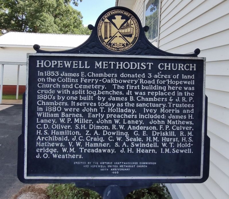
1. Hopewell Methodist Church Marker
In 1853 James E. Chambers donated 3-acres of land on the Collins Ferry-Oakbowery Road for Hopewell Church and Cemetery. The first building here was crude with split log benches. It was replaced in the 1880's by one built by James B. Chambers & J. R. P. Chambers. It serves today as the sanctuary. Trustees in 1880 were John T. Holladay, Ivey Morris and William Barnes. Early preachers included: James H. Laney, W. P. Miller, John W. Laney, John Mathews, C. D. Oliver, S.H. Dimon, R. W. Anderson, F. P. Culver, H. S. Hamilton, Z. A. Dowling, G. E. Driskill, R. M. Archibald, J. C. Craig, C. W. Seale, H. M. Hurst, H. S. Mathews, V. W. Hamner, S. A. Swindell, W. T. Holderidge, W. M. Treadaway, J. H. Hearn, I.M. Sewell, J. O. Weathers.
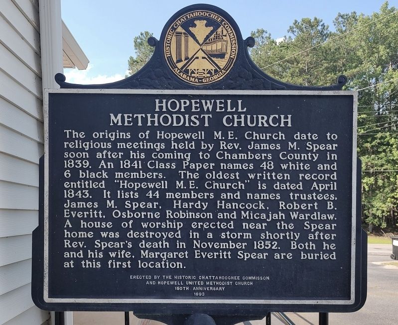
Reverse
The origins of Hopewell M. E. Church date to religious meetings held by Rev. James M. Spear soon after his coming to Chambers County in 1839. An 1841 Class Paper names 48 white and 6 black members. The oldest written record entitled "Hopewell M. E. Church” is dated April 1843. It lists 44 members and names trustees, James M. Spear, Hardy Hancock, Robert B. Everitt, Osborne Robinson and Micajah Wardlaw. A house of worship erected near the Spear home was destroyed in a storm shortly after Rev. Spear's death in November 1852. Both he and his wife, Margaret Everitt Spear are buried at this first location.
Erected 1993 by Historic Chattahoochee Commission & Hopewell Methodist Church.
Topics. This historical marker is listed in these topic lists: Architecture • Cemeteries & Burial Sites • Religion & Religious Structures. A significant historical year for this entry is 1853.
Location. 32° 45.736′ N,
this page online

Regionally, this marker is in East Alabama. It is also in the American South and specifically in the Deep South. Globally, it is in North America, a Gulf of Mexico state, the Western Hemisphere, the Western World, and the Anglosphere. Historically, it finds itself in what was once the original Cherokee Nation, the territory of the Mississippian Culture, one of the Confederate States of America, and the Antebellum South.
Other nearby markers. At least 8 other markers are within 6 miles of this marker, measured as the crow flies: Fairfax First Christian Church (approx. 2.1 miles away); Fairfax Kindergarten (approx. 2.1 miles away); Armed Forces Tribute (approx. 2.2 miles away); The First Christian Church (Disciples of Christ) of River View (approx. 3.1 miles away); The Alabama - Georgia Manufacturing Company (approx. 3.4 miles away); West Point Manufacturing Company (approx. 3.8 miles away); American Legion Veterans Memorial Park (approx. 3.9 miles away); Pat Garrett and Billy the Kid / Pat Garrett, "The Man Who Shot Billy the Kid" (approx. 5.3 miles away). Touch for a list and map of all markers in Valley.
Photographed by Jimmy Emerson, June 24, 2026
2. Hopewell Methodist Church Marker
Photographed by Jimmy Emerson, June 24, 2026
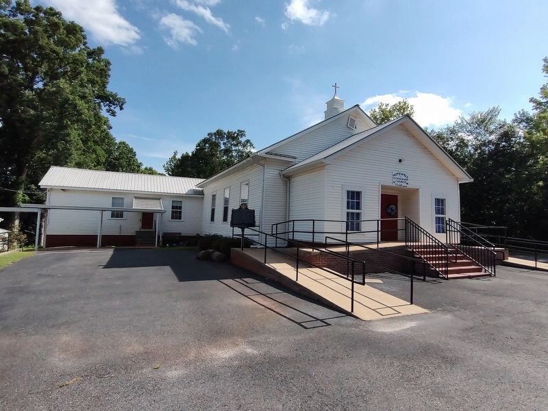
3. Hopewell Methodist Church & Marker
Credits. This page was last revised on June 28, 2026. It was originally submitted on June 27, 2026, by Jimmy Emerson of Dalton, Georgia. This page has been viewed 17 times since then. Photos: 1, 2, 3. submitted on June 27, 2026, by Jimmy Emerson of Dalton, Georgia. • James Hulse was the editor who published this page.
