Williamstown in Berkshire County, Massachusetts — The American Northeast (New England)
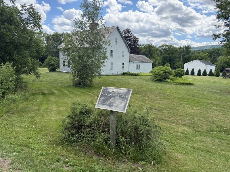
Riverbend Farmhouse Tavern
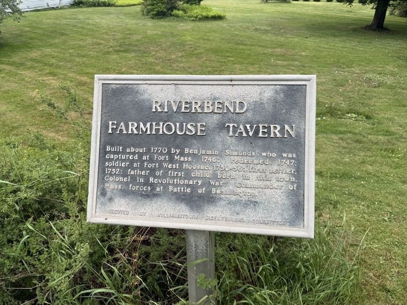
Built about 1770 by Benjamin Simonds who was captured at Fort Mass., 1746; redeemed, 1747; soldier at Fort West Hoosac, 1750-56; first settler, 1752; father of first child born in this town. Colonel in Revolutionary War; Commander of Mass. forces at Battle of Bennington.
Erected by Williamstown Bicentennial Committee.
Topics. This historical marker is listed in these topic lists: Colonial Era • Settlements & Settlers • War, US Revolutionary. A significant historical year for this entry is 1770.
Location. 42° 43.799′ N, 73° 12.287′ W. Marker is in Williamstown, Massachusetts, in Berkshire County. It is on Simonds Road (U.S. 7) south of North Hoosac Road, on the right when traveling south. Touch for map. Marker is at or near this postal address: 643 Simonds Rd, Williamstown MA 01267, United States of America. Touch for directions.

Regionally, this marker is in Massachusetts’ Berkshires. It is also in the American Northeast and in New England. Globally, it is in North America, the Western Hemisphere, the Western World, and the Anglosphere. Historically, it finds itself in what was once one
this page online
Other nearby markers. At least 8 other markers are within 2 miles of this marker, measured as the crow flies: The Birthplace of American Foreign Missions · 1806 (approx. one mile away); Here Stood the West Hoosac Blockhouse (approx. 1.1 miles away); Site of West Hoosac Fort (approx. 1.1 miles away); Veterans Memorial (approx. 1.2 miles away); World Wars Memorial (approx. 1.2 miles away); War Memorial (approx. 1.2 miles away); 1753 House (approx. 1.2 miles away); Site of First Meeting House (approx. 1.2 miles away). Touch for a list and map of all markers in Williamstown.
Credits. This page was last revised on June 27, 2026. It was originally submitted on June 27, 2026, by Devry Becker Jones of Washington, District of Columbia. This page has been viewed 10 times since then. Photos: 1, 2. submitted on June 27, 2026, by Devry Becker Jones of Washington, District of Columbia.
