
Dalton in Berkshire County, Massachusetts — The American Northeast (New England)
Lafayette's Tour
Mapping the Farewell Tour
| — | The Lafayette Trail | — |
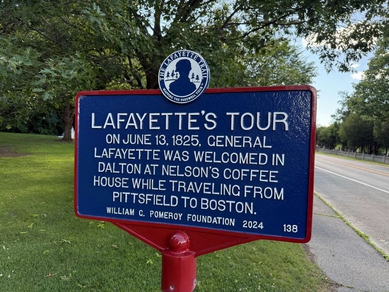
On June 13, 1825, General Lafayette was welcomed in Dalton at Nelson's Coffee House while traveling from Pittsfield to Boston.
Erected 2024 by William G. Pomeroy Foundation. (Marker Number 138.)
Topics and series. This historical marker is listed in these topic lists: Industry & Commerce • Notable Events • Patriots & Patriotism. In addition, it is included in the Lafayette’s Farewell Tour, and the William G. Pomeroy Foundation series lists. A significant historical date for this entry is June 13, 1825.
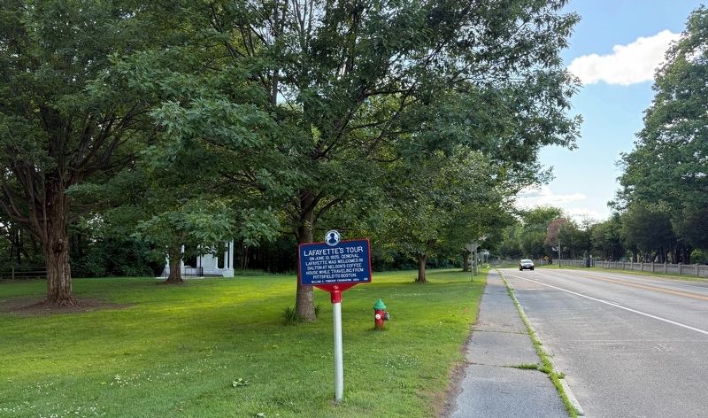
Location. 42° 28.4′ N, 73° 10.383′ W. Marker is in Dalton, Massachusetts, in Berkshire County. It is on Main Street (Massachusetts Route 8) west of Flansburg Avenue, on the left when traveling west. Touch for map. Marker is at or near this postal address: 377 Main St, Dalton MA 01226, United States of America. Touch for directions.

Regionally, this marker is in Massachusetts’ Berkshires. It is also in the American Northeast and in New England. Globally, it is in North America, the Western Hemisphere, the Western World, and the Anglosphere. Historically, it finds itself in what was once one of the original
this page online
Other nearby markers. At least 8 other markers are within 2 miles of this marker, measured as the crow flies: Main Street Cemetery (about 500 feet away, measured in a direct line); Fairview Cemetery (approx. 0.3 miles away); Coach Mike Cooney (approx. 0.3 miles away); Fitch-Hoose House (approx. half a mile away); Cranesville Historic District (approx. 0.6 miles away); First Congregation Church of Dalton (approx. one mile away); East Main Street Cemetery (approx. 1.1 miles away); Coltsville Honor Roll (approx. 1.6 miles away). Touch for a list and map of all markers in Dalton.
Credits. This page was last revised on June 27, 2026. It was originally submitted on June 27, 2026, by Devry Becker Jones of Washington, District of Columbia. This page has been viewed 9 times since then. Photos: 1, 2. submitted on June 27, 2026, by Devry Becker Jones of Washington, District of Columbia.
