
Coffeeville near Ore City in Upshur County, Texas — The American South (West South Central)
C.S.A. Camp Talley
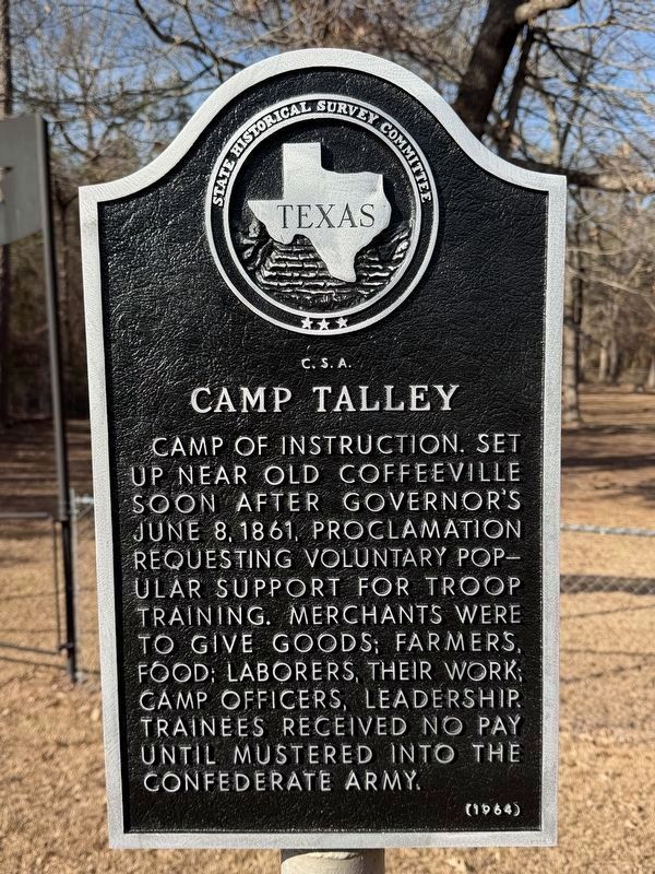
Photographed by Gary Estep, February 2, 2026
1. C.S.A. Camp Talley Marker
Marker repainted
Erected 1964 by State Historical Survey Committee. (Marker Number 11301.)
Topics. This historical marker is listed in this topic list: War, US Civil. A significant historical date for this entry is June 8, 1861.
Location. 32° 50.319′ N, 94° 45.345′ W. Marker is near Ore City, Texas, in Upshur County. It is in Coffeeville. It is on Texas Route 155 east of Verbena Road, on the right when traveling west. Located in front of the Old Coffeeville Cemetery. Touch for map. Marker is at or near this postal address: 14358 TX-155, Ore City TX 75683, United States of America. Touch for directions.

Regionally, this marker is in the American South, specifically in the Deep South, and in the Piney Woods. Globally, it is in North America, a Gulf of Mexico state, the Western Hemisphere, the Western World, and the Anglosphere.
this page online
Other nearby markers. At least 8 other markers are within 13 miles of this marker, measured as the crow flies: Old Coffeeville, C. S. A. (here, next to this marker); Tarver's Ferry (approx. 2.3 miles away); Riley Cemetery (approx. 5 miles away); Site of Old Spearman's Ferry (approx. 5½ miles away); In Appreciation (approx. 6.1 miles away); Old Hughes Furnace (approx. 6.1 miles away); Iron Bluff Cemetery (approx. 7.4 miles away); Meshack Roberts (approx. 12.7 miles away).
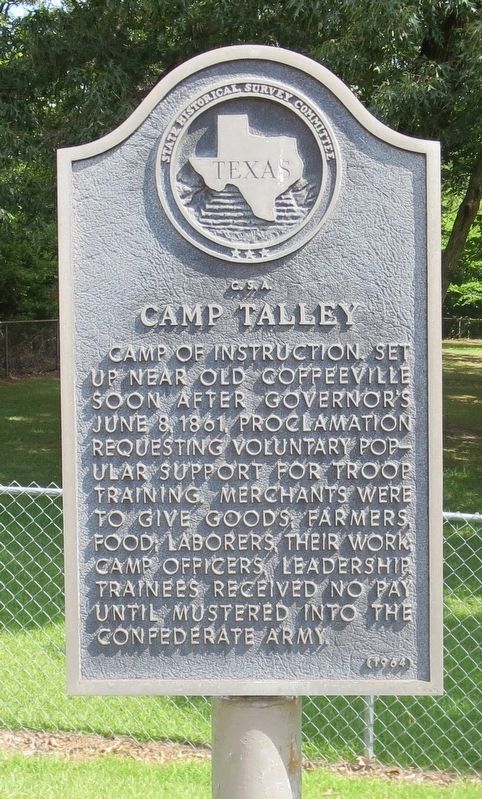
Photographed by Mark Hilton, June 25, 2018
2. C.S.A. Camp Talley Marker
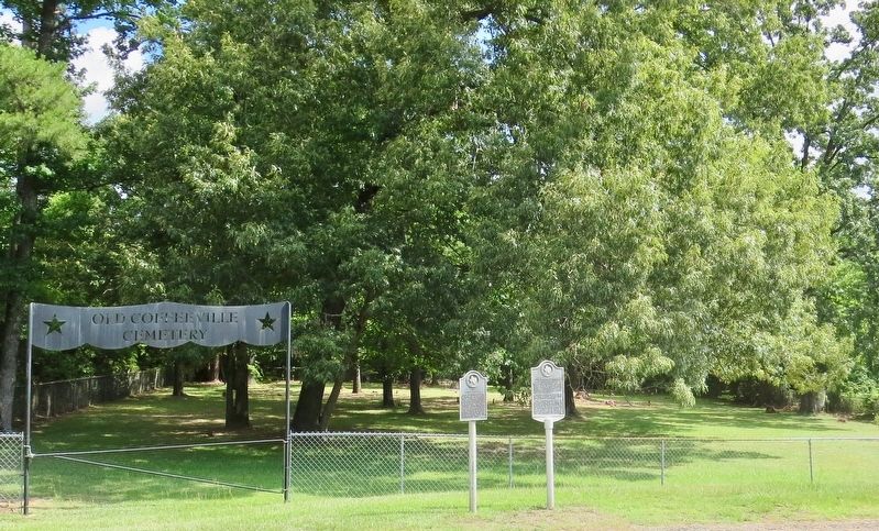
Photographed by Mark Hilton, June 25, 2018
3. C.S.A. Camp Talley Marker located in front of the Old Coffeeville Cemetery.
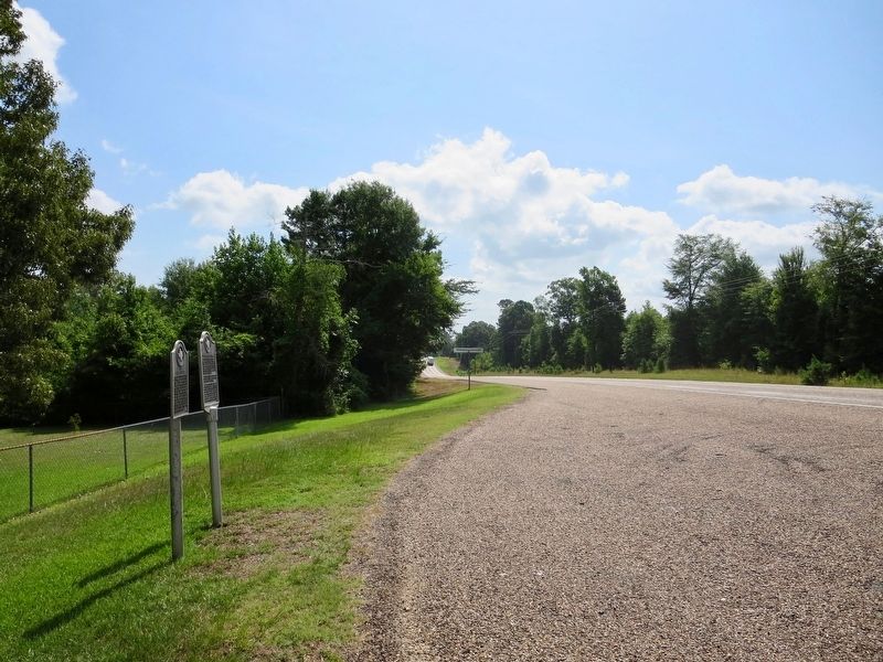
Photographed by Mark Hilton, June 25, 2018
4. View from marker looking east on Texas Route 155.
Credits. This page was last revised on June 29, 2026. It was originally submitted on June 29, 2018, by Mark Hilton of Montgomery, Alabama. This page has been viewed 884 times since then and 75 times this year. Last updated on June 27, 2026, by Joe Lotz of Flower Mound, Texas. Photos: 1. submitted on February 3, 2026, by Gary Estep of Anna, Texas. 2, 3, 4. submitted on June 29, 2018, by Mark Hilton of Montgomery, Alabama. • Bernard Fisher was the editor who published this page.
