Brownsburg in Hendricks County, Indiana — The American Midwest (Great Lakes)
Virgil Park

Photographed by Tom Bosse, June 16, 2026
1. Virgil Park Marker
Topics. This historical marker is listed in this topic list: Parks & Recreational Areas. A significant historical year for this entry is 2019.
Location. 39° 48.415′ N, 86° 21.618′ W. Marker is in Brownsburg, Indiana, in Hendricks County. It is on County Road 300 North, on the right when traveling east. Marker is located in Virgil Park. Touch for map. Marker is in this post office area: Brownsburg IN 46112, United States of America. Touch for directions.

Regionally, this marker is in Central Indiana and specifically in Greater Indianapolis.
this page online
Other nearby markers. At least 8 other markers are within 3 miles of this marker, measured as the crow flies: The B&O Trail (approx. 0.6 miles away); Rodger Ward (approx. 0.6 miles away); Robbie Stanley (approx. 2.9 miles away); The Korean War (approx. 3 miles away); The Revolutionary War (approx. 3 miles away); The Vietnam War (approx. 3 miles away); The Civil War (approx. 3 miles away); World War I (approx. 3 miles away). Touch for a list and map of all markers in Brownsburg.
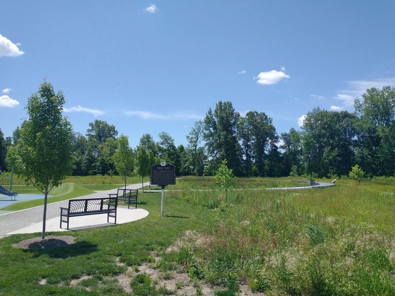
Photographed by Tom Bosse, June 16, 2026
2. Virgil Park Marker
Credits. This page was last revised on July 3, 2026. It was originally submitted on June 28, 2026, by Tom Bosse of Jefferson City, Tennessee. This page has been viewed 9 times since then. Photos: 1, 2. submitted on June 28, 2026, by Tom Bosse of Jefferson City, Tennessee. • Andrew Ruppenstein was the editor who published this page.
