
Perryville in Cecil County, Maryland — The American Northeast (Mid-Atlantic)
Perryville
War Brings Drastic Changes

On April 18-19, 1861, a week after the bombardment of Fort Sumter in Charleston, S.C., Confederate sympathizers attacked U.S. Army forces en route to Washington in Baltimore, 35 miles southwest of here.
On the second day, shots were fired and soldiers died. Telegraph service was cut off. Railroad bridges south of the Susquehanna River were burned, and Washington was in danger of isolation in Confederate territory. In response, Cecil County Unionists guarded the rail lines, hoisting U.S. flags along the way, and Fort Dare was quickly established in Perryville. The town and port became vitally important to the survival of the U.S. government almost overnight.
Perryville, a town with few residents, three shops, two inns, and a post office, quickly became a Federal staging area. The army turned the train depot into soldiers' barracks, the ticket office into a military headquarters, and the storage houses into supply centers. The small town of Perryville had turned into a churning wartime nerve center.
An April 28 New York Times article declared, "Places are like people. Some are great by natural advantage. Some achieve
this page online
The article's author also reported that the village was known for "the finest shad that the known world produces … and with them the soldiers have made an early and familiar acquaintance."
[Captions:]
The U.S. Army commandeered the steamer Maryland in the spring of 1861. The steamer transported supplies and soldiers north and south.
Railroad map, 19th century, showing lines through Cecil County and Perryville, through Harford and Baltimore Counties to Baltimore City
Erected by Maryland Civil War Trails.
Topics and series. This historical marker is listed in these topic lists: Communications • Railroads & Streetcars • War, US Civil. In addition, it is included in the Maryland Civil War Trails series list. A significant historical date for this entry is April 18, 1861.
Location. 39° 33.439′ N, 76° 4.657′ W. Marker is in Perryville, Maryland, in Cecil County. It is at the intersection of Broad Street and Roundhouse Drive,

Regionally, this marker is in Greater Wilmington, on the Eastern Shore, and in Greater Philadelphia. It is also in the American Mid-Atlantic, on the Delmarva Peninsula, in the Tidewater, and in the Chesapeake Bay Region. Globally, it is in the North Atlantic Region, North America, the Western Hemisphere, the Western World, and the Anglosphere. Historically, it finds itself in what was once one of the original Thirteen Colonies and also the Antebellum South.
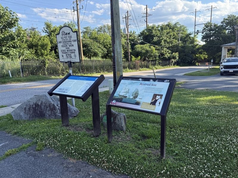
Other nearby markers. At least 8 other markers are within walking distance of this marker: Revered Son (here, next to this marker); Old Post Road (here, next to this marker); Historic Rodgers Tavern (within shouting distance of this marker); Geo Washington Traveled This Road (within shouting distance of this marker); Rodgers Tavern (within shouting distance of this marker); Perryville Railroad Ferry & Station (within shouting distance of this marker); a different marker also named Perryville (about 400 feet away, measured in a direct line); Count de Rochambeau’s Troops (about 500 feet away). Touch for a list and map of all markers in Perryville.
Another marker is no longer nearby. Perryville (has been replaced with this marker).
Credits. This page was last revised on July 4, 2026. It was originally submitted on June 28, 2026, by Devry Becker Jones of Washington, District of Columbia. This page has been viewed 8 times since then. Photos: 1, 2. submitted on June 28, 2026, by Devry Becker Jones of Washington, District of Columbia.
