Bowie in Prince George's County, Maryland — The American Northeast (Mid-Atlantic)
Enslaved Labor Acknowledgement
✝️

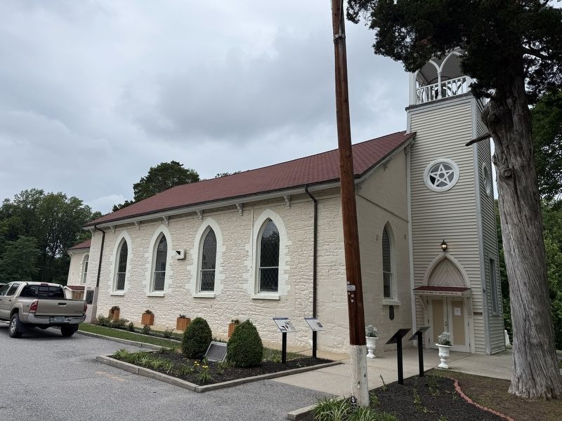
Dedicated to the memory of those unknown who were enslaved and buried in the Archdiocese of Washington
The souls of the just are in the hand of God, and no torment shall touch them.
Wisdom 3:1
Erected by Sacred Heart Church.
Topics. This historical marker is listed in these topic lists: African Americans • Cemeteries & Burial Sites • Religion & Religious Structures.
Location. 38° 58.977′ N, 76° 43.166′ W. Marker is in Bowie, Maryland, in Prince George's County. It can be reached from Annapolis Road (Maryland Route 450) east of Race Track Road, on the right when traveling east. Touch for map. Marker is at or near this postal address: 16301 Annapolis Rd, Bowie MD 20715, United States of America. Touch for directions.

Regionally, this marker is in the Washington Metropolitan Area. It is also in the American South, specifically in the Upper South, in the Mid-Atlantic, and on the Eastern Seaboard. Globally, it is in the North Atlantic Region, North America, the Western Hemisphere, the Western World, and the Anglosphere. Historically, it finds
this page online
Other nearby markers. At least 8 other markers are within walking distance of this marker: Slavery & Resistance at White Marsh (here, next to this marker); A Community of Descendants (here, next to this marker); Sacred Ground (here, next to this marker); White Marsh Plantation (here, next to this marker); Bicentennial (a few steps from this marker); Sacred Heart Chapel (a few steps from this marker); Sacred Heart Chapel - White Marsh (about 700 feet away, measured in a direct line); Williams Plains (approx. half a mile away). Touch for a list and map of all markers in Bowie.
Credits. This page was last revised on June 28, 2026. It was originally submitted on June 28, 2026, by Devry Becker Jones of Washington, District of Columbia. This page has been viewed 14 times since then. Photos: 1, 2. submitted on June 28, 2026, by Devry Becker Jones of Washington, District of Columbia.
