
South Side in Houston in Harris County, Texas — The American South (West South Central)
The Legacy of Emancipation Park
Photographed by James Hulse, April 16, 2021
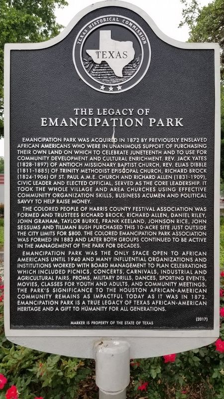
1. The Legacy of Emancipation Park Marker
Emancipation Park was acquired in 1872 by previously enslaved African Americans who were in unanimous support of purchasing their own land on which to celebrate Juneteenth and to use for community development and cultural enrichment. Rev. Jack Yates (1828-1897) of Antioch Missionary Baptist Church, Rev. Elias Dibble (1811-1885) of Trinity Methodist Episcopal Church, Richard Brock (1824-1906) of St. Paul A.M.E. Church and Richard Allen (1831-1909), civic leader and elected official, served as the core leadership. It took the whole village and area churches using effective community organization skills, business acumen and political savvy to help raise money.
The Colored People of Harris County Festival Association was formed and trustees Richard Brock, Richard Allen, Daniel Riley, John Graham, Taylor Burke, Frank Keeland, Johnson Rice, John Sessums and Tillman Bush purchased this 10-acre site just outside the city limits for $800. The Colored Emancipation Park Association was formed in 1883 and later both groups continued to be active in the management of the park for decades.
Emancipation Park was the only space open to African Americans until 1940 and many influential organizations and institutions worked with board management to plan celebrations which included picnics, concerts, carnivals, industrial and agricultural fairs, proms, military drills, dances, sporting events, movies, classes for youth and adults, and community meetings. The park's significance to the Houston African-American community remains as impactful today as it was in 1872. Emancipation Park is a true legacy of Texas African-American heritage and a gift to humanity for all generations.
Erected 2017 by Texas Historical Commission. (Marker Number 19999.)
Topics. This historical marker is listed in these topic lists: African Americans
this page online
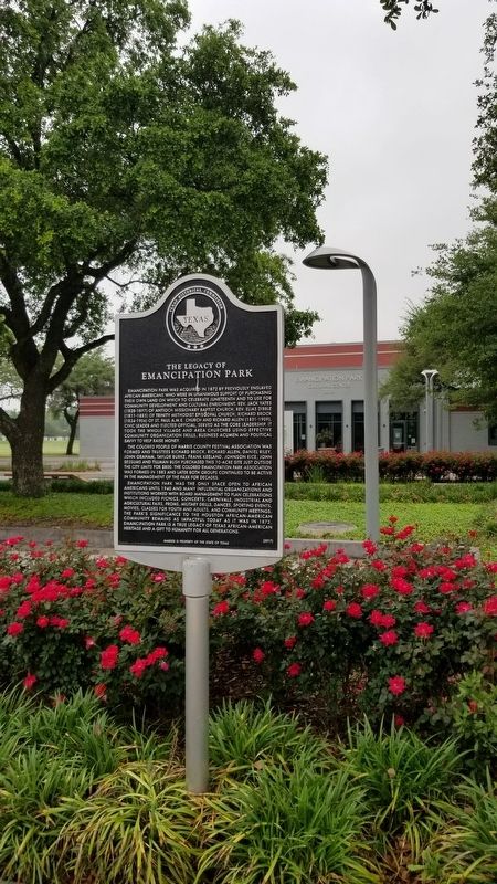
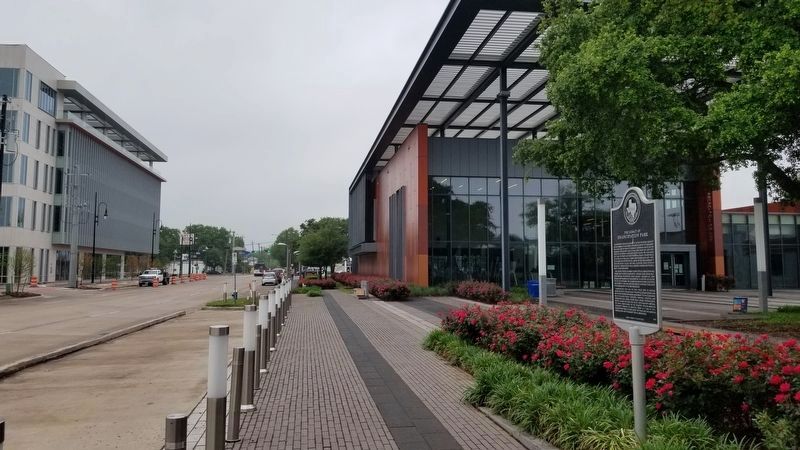
Location. 29° 44.131′ N, 95° 21.864′ W. Marker is in Houston, Texas, in Harris County. It is in the South Side. It is at the intersection of Emancipation Avenue and Elgin Street, on the right when traveling south on Emancipation Avenue. The marker is located at the front of Emancipation Park by the Cultural Center building. Touch for map. Marker is at or near this postal address: 3018 Emancipation Avenue, Houston TX 77004, United States of America. Touch for directions.

Regionally, this marker is in the American South and on the Gulf Coast. Globally, it is in North America, a Gulf of Mexico state, the Western Hemisphere, the Western World, and the Anglosphere. Historically, it finds itself in what was once New Spain, the Republic of Texas, one of the Confederate States of America, and the Antebellum South.
Other nearby markers. At least 8 other markers are within walking distance of this marker: Reverend David Elias Dibble (about 300 feet away, measured in a direct line); Reverend John Henry "Jack" Yates (about 400 feet away); Eldorado Ballroom
Photographed by James Hulse, April 16, 2021
2. The Legacy of Emancipation Park Marker
Photographed by James Hulse, April 16, 2021
3. The view of the Legacy of Emancipation Park Marker from the street
Credits. This page was last revised on June 30, 2026. It was originally submitted on April 18, 2021, by James Hulse of Medina, Texas. This page has been viewed 1,305 times since then and 109 times this year. Last updated on June 29, 2026, by Joe Lotz of Flower Mound, Texas. Photos: 1, 2, 3. submitted on April 18, 2021, by James Hulse of Medina, Texas.
