Newtown in Waterford in County Waterford, Munster, Ireland — Irish South-West ((Éire) North Atlantic Ocean)
The People's Park
Photographed by Ian Lefkowitz, May 16, 2026
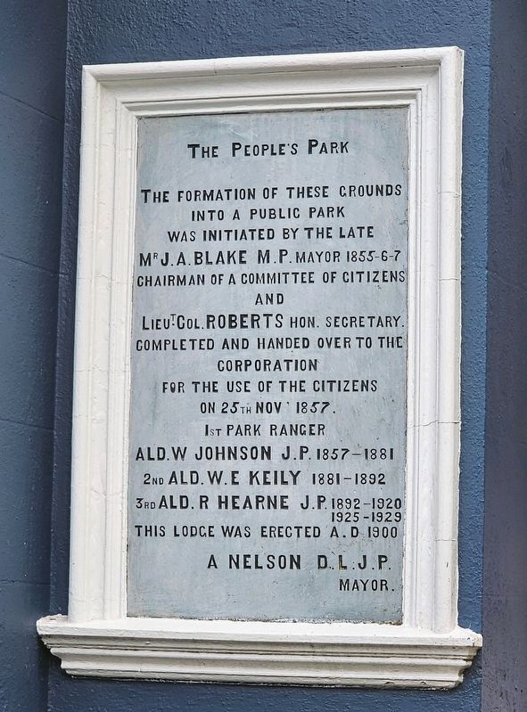
1. The People's Park Marker
The formation of these grounds into a public park was initiated by the late Mr. J. A. Blake M.P. Mayor 1855–6–7, chairman of a committee of citizens, and Lieut. Col. Roberts Hon. Secretary. Completed and handed over to the Corporation for the use of the citizens on 25th Nov. 1857.
1st Park Ranger
Ald. W. Johnson J.P. 1857–1881
2nd Ald. W. E. Keily 1881–1892
3rd Ald. R. Hearne J.P. 1892–1920, 1925–1929
This lodge was erected A.D. 1900
A. Nelson D.L. J.P.
Mayor.
Topics. This historical marker is listed in this topic list: Parks & Recreational Areas. A significant historical date for this entry is November 25, 1857.
Location. 52° 15.444′ N, 7° 6.186′ W. Marker is in Waterford, Munster, in County Waterford. It is in Newtown. It is on Park Road west of Newtown Road, on the left when traveling west. Touch for map. Marker is at or near this postal address: 2 Park Rd, Waterford, Munster, Ireland. Touch for directions.

Regionally, this marker is in the Ancient East. Globally, it is on the Atlantic Ocean, in the North Atlantic Region, in Europe, on the Island of Ireland, on the Celtic Fringe, in the European Union, in Atlantic
this page online
Other nearby markers. At least 8 other markers are within walking distance of this marker: John Horn Shipbuilder (about 150 meters away, measured in a direct line); Site of Neptune Shipyard (about 150 meters away); John J Hearne / Seán S Ó hEachtheigeirn (about 150 meters away); William Hobson (approx. 0.3 kilometers away); Anna Manahan (approx. 0.3 kilometers away); Cumann Wolfe Tone / Wolfe Tone Club (approx. 0.3 kilometers away); Richard H. Ryland (approx. 0.3 kilometers away); Vedrarfjordr (approx. 0.3 kilometers away). Touch for a list and map of all markers in Waterford.
Also see . . . People's Park, Waterford (Wikipedia).
The People's Park is the largest public park in Waterford, Ireland. Laid out in the 19th century, it is 6.6 hectares (16.3 acres) in size. It is located at the junction of the Park Road and William Street. The site of the People's Park was originally a marshland which John's River ran through, however in 1857 the river was diverted, and the marshland drained to make way for the construction of the park.(Submitted on July 1, 2026, by Ian Lefkowitz of New York, New York.)
Photographed by Ian Lefkowitz, May 16, 2026
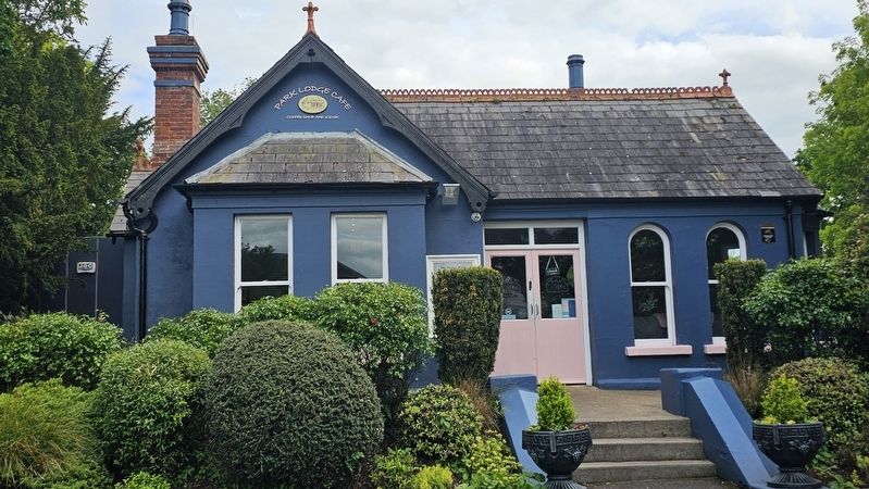
2. The People's Park Marker
The marker is located on the front of the park house, obscured by a bush in this photo.
Photographed by Ian Lefkowitz, May 16, 2026
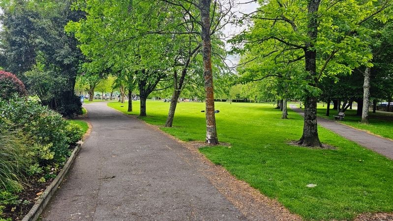
3. The People's Park
The view of Waterford's largest park.
Credits. This page was last revised on July 1, 2026. It was originally submitted on July 1, 2026, by Ian Lefkowitz of New York, New York. This page has been viewed 12 times since then. Photos: 1, 2, 3. submitted on July 1, 2026, by Ian Lefkowitz of New York, New York. • Andrew Ruppenstein was the editor who published this page.
