Near Circleville in Pendleton County, West Virginia — The American South (Appalachia)
Spruce Knob
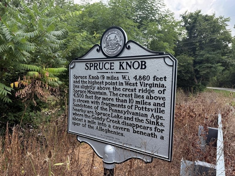
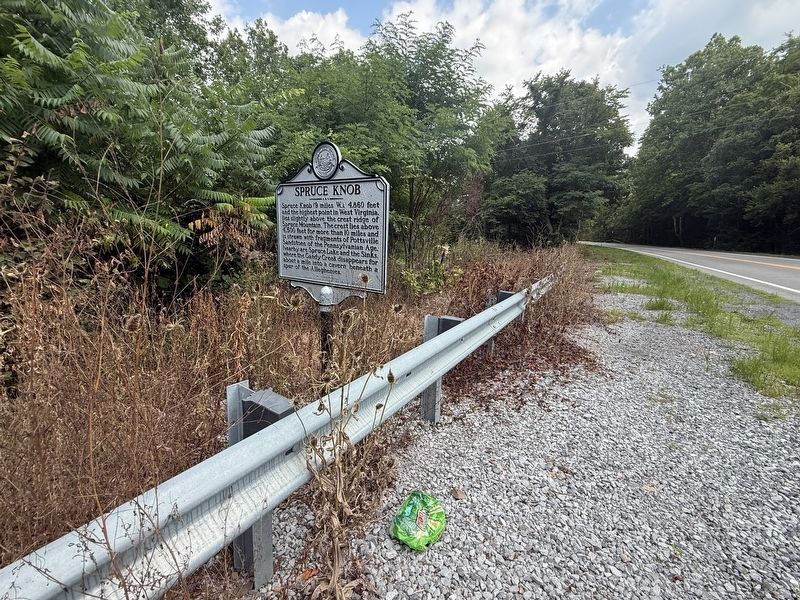
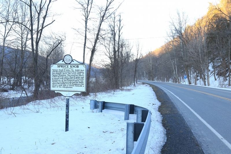
Spruce Knob (9 miles W.), 4,860 feet and the highest point in West Virginia, lies slightly above the crest ridge of Spruce Mountain. The crest lies above 4,500 feet for more than 10 miles and is strewn with fragments of Pottsville Sandstone of the Pennsylvania Age. Nearby are Spruce Lake and the Sinks, where the Gandy Creek disappears for about a mile into a cavern beneath a spur of the Alleghenies.
Erected 2004 by West Virginia Division of Archives and History — WV Celebration 2000.
Topics and series. This historical marker is listed in this topic list: Natural Features. In addition, it is included in the West Virginia Archives and History series list.
Location. 38° 40.767′ N, 79° 29.014′ W. Marker is near Circleville, West Virginia, in Pendleton County. It is on Mount Freedom Drive (West Virginia Route 28) 2.2 miles south of Mountaineer Drive (U.S. 33), on the right when traveling south. Touch for map. Marker is in this post office area: Circleville WV 26804, United States of America. Touch for directions.

Regionally, this marker is in the Potomac Highlands.
this page online
Other nearby markers. At least 8 other markers are within 8 miles of this marker, measured as the crow flies: Indians (approx. 0.6 miles away); Germany Valley (approx. 4.3 miles away); Last Union Raid (approx. 4.3 miles away); The "Battle" of Riverton (approx. 5.1 miles away); Oriskany Sand (approx. 5.1 miles away); Gravesite of John Dolly (approx. 5.3 miles away); Johann Zacharias Rexrode, Jr. (approx. 7.9 miles away); Destruction of Saltpeter Works (approx. 8 miles away).
Other markers no longer nearby. Tuscarora (Clinton) Sand (was approx. 2.1 miles away but has been confirmed missing); a different marker also named "Battle" of Riverton (was approx. 5.1 miles away but has been replaced with another marker now near it).
More about this marker. Per the West Virginia historic marker website, the marker is missing.
Also see . . .
1. Spruce Knob.

Photographed by J. J. Prats, January 30, 2016
2. Spruce Knob Marker
This is a photo of the marker before it was replaced or restored.
2. Pendleton County – The West Virginia Historical Markers Project. (Submitted on July 1, 2026, by Jimmy Emerson of Dalton, Georgia.)
Photographed by J. J. Prats, January 30, 2016
4. Spruce Knob Marker
Photographed by J. J. Prats, January 30, 2016
5. Spruce Mountain
Credits. This page was last revised on August 9, 2026. It was originally submitted on November 11, 2016, by J. J. Prats of Powell, Ohio. This page has been viewed 939 times since then and 84 times this year. Last updated on July 1, 2026, by Jimmy Emerson of Dalton, Georgia. Photos: 1. submitted on August 9, 2026, by Devry Becker Jones of Washington, District of Columbia. 2. submitted on November 11, 2016, by J. J. Prats of Powell, Ohio. 3. submitted on August 9, 2026, by Devry Becker Jones of Washington, District of Columbia. 4, 5. submitted on November 11, 2016, by J. J. Prats of Powell, Ohio. • Devry Becker Jones was the editor who published this page.
