Haileybury in Temiskaming Shores in Timiskaming District, Ontario — Central Canada (North America)
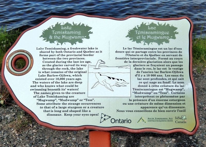
Lake Temiskaming and the Mugwamp
⎯⎯⎯
Lac Témiscamingue et le Mugwamp
Photographed by Cosmos Mariner, June 2, 2022
1. Lake Temiskaming and the Mugwamp / Lac Témiscamingue et le Mugwamp Marker

this page online
Erected by Province of Ontario, South Temiskaming SUD Community Futures Development Corporation, Federal Economic Development Agency for Northern Ontario.
Topics. This historical marker is listed in this topic list: Natural Features.
Location. 47° 27.639′ N, 79° 38.399′ W. Marker is in Temiskaming Shores, Ontario, in Timiskaming District. It is in Haileybury. It is on Lakeshore Road South 0.3 kilometers north of Latchford Street, on the right when traveling north. The marker is overlooking Lake Temiskaming from Hughes Lookout. Touch for map. Marker is in this post office area: Temiskaming Shores ON P0J 1K0, Canada. Touch for directions.

Regionally, this marker is in Northeastern Ontario and specifically in Northern Ontario. It is also in Central Canada. Globally, it is in North America, the Great North Woods, the Western Hemisphere, the Western World, and the Anglosphere.
Photographed by Cosmos Mariner, June 2, 2022
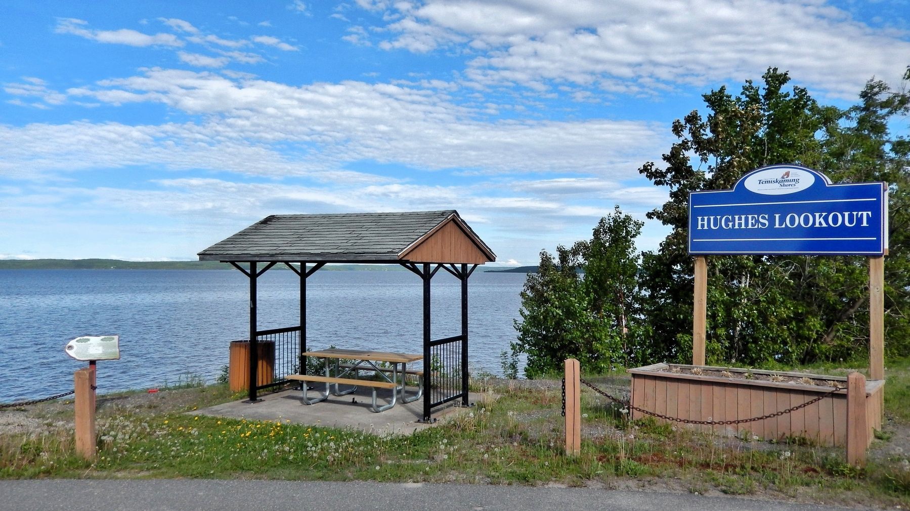
2. Lake Temiskaming and the Mugwamp / Lac Témiscamingue et le Mugwamp Marker
Looking east across Lake Temiskaming from Lakeshore Road South. The marker is on the left side of the picnic shelter.
Other nearby markers. At least 8 other markers are within walking distance of this marker: Millionaires Row / Le Rang des Millionaires (approx. 0.7 kilometers away); William H. Wright Building Art Deco Sculpture (approx. 0.9 kilometers away); School of Mines and RockWalk Park / L'École des Mines et le Parc RockWalk (approx. 0.9 kilometers away); The Inukshuk (approx. 0.9 kilometers away); Living Underground at Coober Pedy (approx. 0.9 kilometers away); Calcite Breccia (approx. one kilometer away); Haileybury Jail / Le prison de Haileybury (approx. 1.3 kilometers away); Court House / Le Palais de Justice (approx. 1.3 kilometers away). Touch for a list and map of all markers in Temiskaming Shores.
Also see . . . Lake Ojibway (Wikipedia).
Excerpt: Lake Ojibway was a prehistoric lake in what is now northern Ontario and Quebec in Canada. Ojibway was the last of the great proglacial lakes of the last ice age. The proglacial lake was named Ojibway in 1909 by Canadian geologist Arthur Philemon Coleman after an Indigenous people whose homeland coincides with his proposed location of the lake. Comparable in size to Lake Agassiz (to which it was likely linked), and north of the Great Lakes, it was at its greatest extent c. 8,500 years BP. The former lakebed forms the modern Clay Belt, an area of fertile land.(Submitted on July 3, 2026, by Cosmos Mariner of Cape Canaveral, Florida.)Lake Ojibway was relatively short-lived. The lake likely drained approximately 8,200 years BP. One hypothesis is that a weakening ice dam separating it from Hudson Bay broke, as the lake was roughly 820 ft above sea level but recent studies assert Lake Ojibway drained in two separate events and through a combination of ice dam breach and subglacial flooding.
Credits. This page was last revised on July 4, 2026. It was originally submitted on July 1, 2026, by Cosmos Mariner of Cape Canaveral, Florida. This page has been viewed 12 times since then. Photos: 1, 2. submitted on July 3, 2026, by Cosmos Mariner of Cape Canaveral, Florida.
