
Port Republic in Rockingham County, Virginia — The American South (Mid-Atlantic)
The Frank Kemper House
Iconic Part of Historic Village
| — | The History of Port Republic | — |

Photographed by Mike McKeown, July 3, 2026
1. The Frank Kemper House Marker
When Confederate Gen. Turner Ashby was killed near Harrisonburg on June 6, 1862, his body was brought to this house. The women of the village prepared his body for burial, one of them placing a rose over his fatal wound. The body was laid under a window in the front corner room of the house (on the opposite side), where Confederate troops passed to pay their respects.
After the war, the house was used for various purposes, including as a tea room and a boarding house. The Society of Port Republic Preservationists purchased the building in 1992 and converted it into the Port Republic Museum. The Shenandoah Valley Battlefields Foundation assumed stewardship of the house and museum in 2022.
History of Port Republic
Port Republic was laid off into
this page online
(captions)
The Frank Kemper House, c. 1928. The man at left is pointing to the window where Ashby's body lay.
Photograph of Turner Ashby's corpse, taken here at the Kemper House. Image courtesy American Civil War Museum, under the management of Virginia Museum of History & Culture.
Erected by Shenandoah Valley Battlefields Foundation.
Topics.

Photographed by Mike McKeown, July 3, 2026
2. The Frank Kemper House Marker
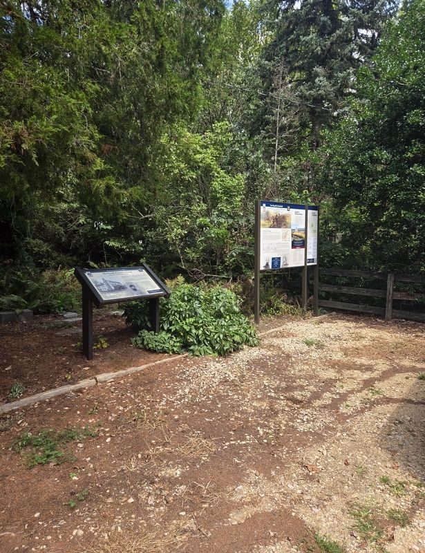
Location. 38° 17.741′ N, 78° 48.652′ W. Marker is in Port Republic, Virginia, in Rockingham County. It is at the intersection of Water Street and Port Republic Road (Virginia Route 253), on the left when traveling east on Water Street. Located in the parking lot for the Frank Kemper House/Port Republic Museum. Touch for map. Marker is at or near this postal address: 8691 Water St, Port Republic VA 24471, United States of America. Touch for directions.

Regionally, this marker is in Virginia’s Shenandoah Valley. It is also in the American South and specifically in the Upper South. Globally, it is in North America, the Western Hemisphere, the Western World, and the Anglosphere. Historically, it finds itself in what was once the territory of the Mississippian Culture, one of the original Thirteen Colonies, one of the Confederate States of America, and the Antebellum South.
Other nearby markers. At least 8 other markers are within 3 miles of this
Photographed by Bradley Owen, August 29, 2026
3. The Frank Kemper House Marker
Other markers no longer nearby. The Frank Kemper House (has been replaced with this marker); Shenandoah Valley Battlefields Historic District (was here, next to this marker but has been replaced with another marker now near it); a different marker also named North River Bridge (was about 500 feet away but has been replaced with another marker now near it); Riverside Graveyard (was approx. 0.3 miles away but has been replaced with another marker now near it); Port Republic Foundry (was approx. half a mile away but has been confirmed missing); Madison Hall (was approx. half a mile

Photographed by Mike McKeown, July 3, 2026
4. Frank Kemper House
Also see . . . Port Republic Museum (Shenandoah Valley Battlefields Foundation). (Submitted on July 3, 2026, by Mike McKeown of Baltimore, Maryland.)
Credits. This page was last revised on September 4, 2026. It was originally submitted on July 3, 2026, by Mike McKeown of Baltimore, Maryland. This page has been viewed 31 times since then. Photos: 1, 2. submitted on July 3, 2026, by Mike McKeown of Baltimore, Maryland. 3. submitted on September 4, 2026, by Bradley Owen of Morgantown, West Virginia. 4. submitted on July 3, 2026, by Mike McKeown of Baltimore, Maryland. • Bernard Fisher was the editor who published this page.
