
Port Republic in Rockingham County, Virginia — The American South (Mid-Atlantic)
North River Bridge
Covered bridge instrumental in Valley Campaign
Photographed by Robert H. Moore, II, January 30, 2009
1. North River Bridge Marker
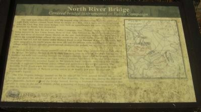
The road seen across the river was the original route into the village from the north and west. Early visitors crossed North River by means of a ford, later a ferry, and finally a bridge. After the Civil War, four more bridges were built on approximately the same site; two of them destroyed by floods, two dismantled.
In June 1862, near the end of his Valley Campaign, Gen. Thomas “Stonewall” Jackson was being pursued by two Union forces, those of Gen. John Fremont on the Shenandoah’s west bank and those of General James Shields on the east. Jackson chose to take his stand here, where the covered bridge offered the only means for the Union troops to unite. On June 8, Jackson had left half his forces under Richard Ewell to stop Fremont at Cross Keys, while half were camped on the bluffs across the river. He and his officers were headquartered in the village when Shields’ advance guard arrived, scattered the pickets, set up guns, and invaded the town.
Jackson survived his closest personal call of the war he when he narrowly escaped across the bridge. His gallop through town brought him here, even as artillery fire from
this page online
The 37th Virginia Infantry massed on the far side of the river, poured through the covered bridge, and drove the advance guard out of Port Republic. The next day, during the Battle of Port Republic, Jackson ordered the bridge burned, leaving a frustrated Fremont marooned and unable to come to the aid of Shields. After a morning of heavy fighting, Jackson won the battle to end the Valley Campaign.
Erected 1999 by Society of Port Republic Preservationists, Inc. in cooperation with Shenandoah Battlefield National Historic District Commission. Installation by the Port Republic
Photographed by Robert H. Moore, II, January 30, 2009
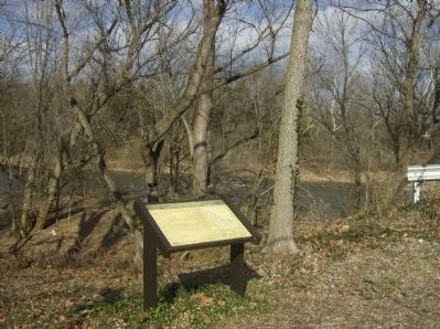
2. North River Bridge Marker with River in background
Topics and series. This historical marker is listed in these topic lists: Bridges & Viaducts • War, US Civil. In addition, it is included in the Covered Bridges series list. A significant historical month for this entry is June 1862.
Location. This marker has been replaced by another marker nearby. It was located near 38° 17.81′ N, 78° 48.591′ W. Marker was in Port Republic, Virginia, in Rockingham County. It could be reached from the intersection of The Point Street and Main Street, on the right when traveling north. Touch for map. Marker was at or near this postal address: 8719 Water St, Port Republic VA 24471, United States of America. Touch for directions.

Regionally, this marker was in Virginia’s Shenandoah Valley. It was also in the American South and specifically in the Upper South. Globally, it was in North America, the Western Hemisphere, the Western World, and the Anglosphere. Historically, it found itself in what was once the territory of the Mississippian Culture, one of the original Thirteen Colonies, one of the Confederate States of America, and the Antebellum South.
Other nearby markers. At
Photographed by Robert H. Moore, II, January 30, 2009
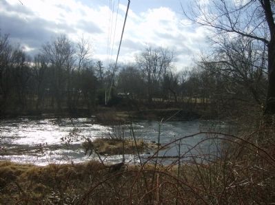
3. View from the opposite river bank, back toward the marker
Other markers no longer nearby. Shenandoah Valley Battlefields Historic District (was about 500 feet away but has been replaced with another marker now near it); The Frank Kemper House (was about 500 feet away but has been replaced with another marker now near it); Riverside Graveyard (was approx. 0.4 miles away but has been replaced with another marker now near it); Port Republic Foundry (was approx. 0.6 miles away but has been confirmed missing); Madison Hall (was
Photographed by Robert H. Moore, II, January 30, 2009
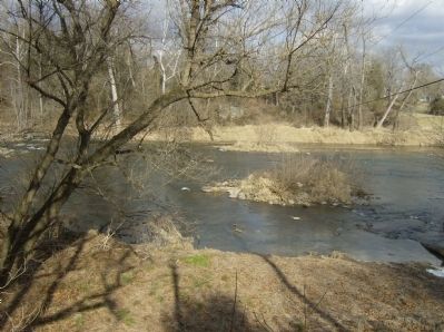
4. NE view from near the marker and across the river to the opposite abutment
More about this marker. On the right is a map from the West Point Atlas of American Wars showing the tactical dispositions for the battles of Cross Keys and Port Republic.
Related marker. Click here for another marker that is related to this marker. To better understand the relationship, study each marker in the order shown.
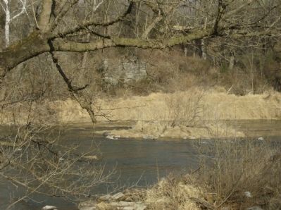
Photographed by Robert H. Moore, II, January 30, 2009
5. Close-up view of the abutment across the river from the marker
Credits. This page was last revised on July 13, 2026. It was originally submitted on February 2, 2009, by Robert H. Moore, II of Winchester, Virginia. This page has been viewed 2,711 times since then and 82 times this year. Last updated on July 3, 2026, by Mike McKeown of Baltimore, Maryland. Photos: 1, 2, 3, 4, 5. submitted on February 2, 2009, by Robert H. Moore, II of Winchester, Virginia. • Devry Becker Jones was the editor who published this page.
