
Port Republic in Rockingham County, Virginia — The American South (Mid-Atlantic)
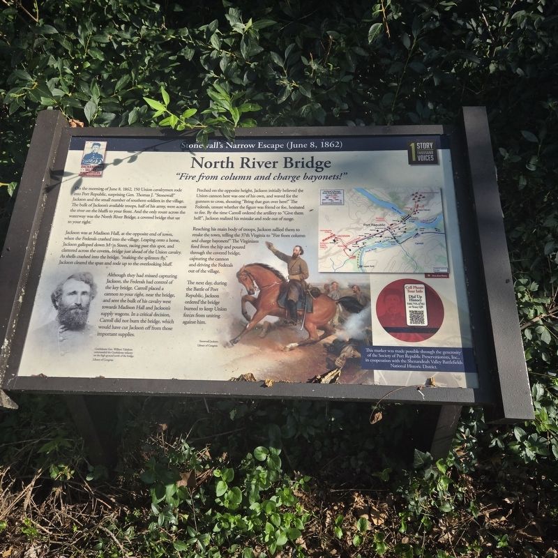
North River Bridge
"Fire from column and charge bayonets!"
| — | Stonewall's Narrow Escape (June 8, 1862) | — |
Photographed by Mike McKeown, July 3, 2026
1. North River Bridge Marker
Jackson was at Madison Hall, at the opposite end of town, when the Federals crashed into the village. Leaping onto a horse, Jackson galloped down Main Street, racing past this spot, and clattered across the covered bridge just ahead of the Union cavalry. As shells crashed into the bridge, "making the splinters fly," Jackson cleared the span and rode up to the overlooking bluff.
Although they had missed capturing Jackson, the Federals had control of the key bridge. Carroll placed a cannon to your right, near the bridge, and sent the bulk of his cavalry west towards Madison Hall and Jackson's supply wagons. In a critical decision, Carroll did not burn the bridge, which would have cut Jackson off from those important supplies.
Perched
this page online
Reaching his main body of troops, Jackson rallied them to retake the town, telling the 37th Virginia to "Fire from column and charge bayonets!" The Virginians fired from the hip and poured through the covered bridge, capturing the cannon and driving the Federals out of the village.
The next day, during the Battle of Port Republic, Jackson ordered the bridge burned to keep Union forces from uniting against him.
(captions)
Confederate Gen. William Taliaferro commanded the Confederate infantry on the high ground north of the bridge. Library of Congress
Stonewall Jackson. Library of Congress
Erected by Shenandoah Valley Battlefields Foundation.
Topics. This historical marker is listed in these topic lists: Bridges & Viaducts • War, US Civil. A significant historical date for this entry is June 8, 1862.
Location. 38° 17.8′ N,
Photographed by Mike McKeown, July 3, 2026
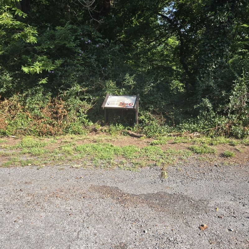
2. North River Bridge Marker

Regionally, this marker is in Virginia’s Shenandoah Valley. It is also in the American South and specifically in the Upper South. Globally, it is in North America, the Western Hemisphere, the Western World, and the Anglosphere. Historically, it finds itself in what was once the territory of the Mississippian Culture, one of the original Thirteen Colonies, one of the Confederate States of America, and the Antebellum South.
Other nearby markers. At least 8 other markers are within 3 miles of this marker, measured as the crow flies: The Point (about 300 feet away, measured in a direct line); Port Republic Battlefield (about 400 feet away); a different marker also named The Frank Kemper House (about 400 feet away); Palmer Lot at Middle Ford (approx. ¼ mile away); a different marker also named Riverside Graveyard (approx. 0.4 miles away); a different marker also named Madison Hall (approx. 0.6 miles away); Battle of Port Republic (approx. 1.4 miles away); First Confederate Advance (approx. 2.1 miles away). Touch for a list and map of all markers in Port Republic.
Other markers no longer nearby. North River Bridge (was within shouting distance of this marker but has been replaced with another marker now near it); Shenandoah Valley Battlefields Historic District (was about 400 feet away but has been replaced with another marker now near it); The Frank Kemper House (was about 400 feet away but has been replaced with another marker now near it); Riverside Graveyard (was approx. 0.4 miles away but has been replaced with another marker now near it); Port Republic Foundry (was approx. half a mile away but has been confirmed missing); Madison Hall (was approx. 0.6 miles away but has been replaced with another marker now near it).
Credits. This page was last revised on July 13, 2026. It was originally submitted on July 3, 2026, by Mike McKeown of Baltimore, Maryland. This page has been viewed 24 times since then. Photos: 1, 2. submitted on July 3, 2026, by Mike McKeown of Baltimore, Maryland. • Bernard Fisher was the editor who published this page.
