Itasca in Hill County, Texas — The American South (West South Central)
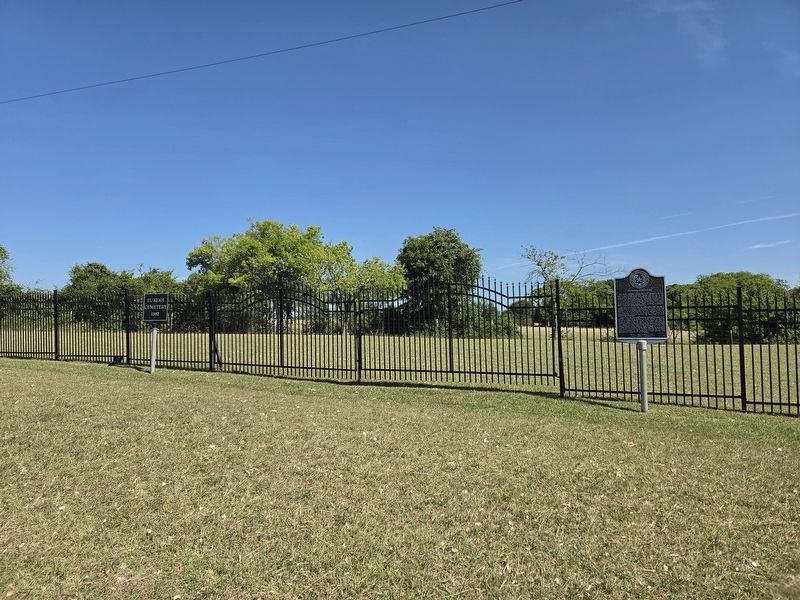
Eureka Cemetery

Photographed by James Hulse, July 3, 2026
1. Eureka Cemetery Marker
This burial ground served the early residents of the agricultural Eureka community. Eureka was settled in the 1870 mostly by residents looking to farm cotton in the region's rich blackland soil. The community did not have a cotton gin or store, depending on nearby Lovelace and Itasca, but it did have a school and Cumberland Presbyterian Church. Early Eureka settlers included the Kimmons, Eagleston, McDaniel, Faries, Clack, London, Hambright, Priddy, Hamilton and Wilson families
Oral tradition relates that the first burial here was of a young niece of William R. Kimmons (d. 1931), who owned the property. The earliest documented burial in Eureka Cemetery though is of Willie D. Kimmons (d. 1887), the infant son of W.R. and Ella (Eagleston) Kimmons (d. 1934). After this interment, the Kimmons opened the graveyard to their friends and neighbors
Eureka Cemetery features interior fencing, curbing and vertical stones in a wooded setting. Of the 20 marked graves in Eureka Cemetery, 13 are for children less than 10 years of age. From the mid-to-late 20th century, the Kimmons-Eagleston family cared for the graveyard. In 2008,
this page online
Erected 2009 by Texas Historical Commission. (Marker Number 16276.)
Topics. This historical marker is listed in this topic list: Cemeteries & Burial Sites. A significant historical year for this entry is 1870.
Location. 32° 6.731′ N, 97° 8.943′ W. Marker is in Itasca, Texas, in Hill County. It is on Farm to Market Road 3147 0.1 miles west of County Road 4228, on the right when traveling west. Touch for map. Marker is at or near this postal address: 287 FM 3147, Hillsboro TX 76645, United States of America. Touch for directions.

Regionally, this marker is in the Prairies & Lakes Region. Globally, it is in North America, a Gulf of Mexico state, the Western Hemisphere, the Western World, and the Anglosphere. Historically, it finds itself in what was once New Spain, the Republic of Texas,
Photographed by James Hulse, July 3, 2026
2. Eureka Cemetery Marker
The main entrance to the cemetery grounds.
Other nearby markers. At least 8 other markers are within 7 miles of this marker, measured as the crow flies: First Presbyterian Church of Itasca (approx. 3.4 miles away); Site of Switzer College (approx. 3½ miles away); Itasca Railroad Depot (approx. 3.7 miles away); Site of Arnotville School (approx. 4.8 miles away); Woodbury Missionary Baptist Church (approx. 6½ miles away); Hillsboro City Cemetery (approx. 6.8 miles away); Abbott House (approx. 6.9 miles away); Sims-Womack House (approx. 6.9 miles away). Touch for a list and map of all markers in Itasca.
Photographed by James Hulse, July 3, 2026
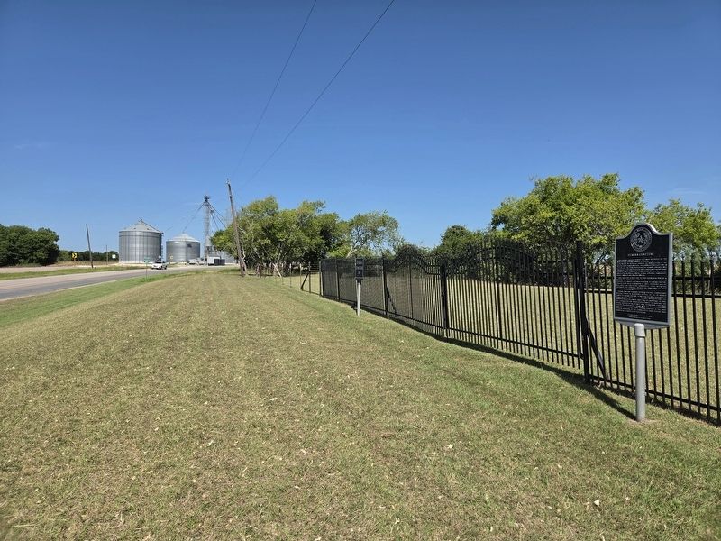
3. Eureka Cemetery Marker
The view of the marker along the street.
Credits. This page was last revised on July 4, 2026. It was originally submitted on July 4, 2026, by James Hulse of Medina, Texas. This page has been viewed 13 times since then. Photos: 1, 2, 3. submitted on July 4, 2026, by James Hulse of Medina, Texas.
