Guildford in Surrey, England, United Kingdom — Northwestern Europe (the British Isles)
The Bowling Green
Photographed by Ray Gurganus, April 13, 2026
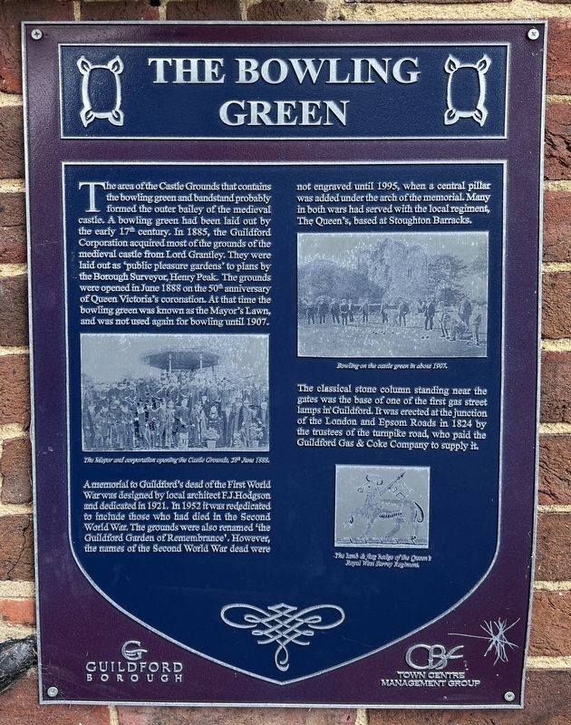
1. The Bowling Green Marker
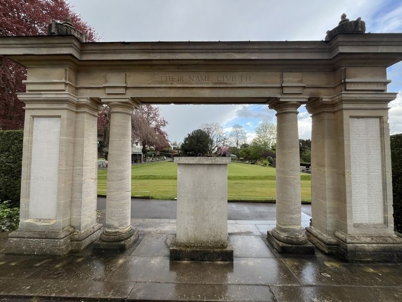
A memorial to Guildford's dead of the First World War was designed by local architect F.J. Hodgson and dedicated in 1921. In 1952 it was rededicated to include those who had died in the Second World War. The grounds were also renamed 'the Guildford Garden of Remembrance'. However, the names of the Second World War dead were not engraved until 1995, when a central pillar was added under the arch of the memorial. Many in both wars had served with the local regiment, The Queen's, based at Stoughton Barracks.
The classical stone column standing near the gates was the base of
this page online
Topics. This historical marker is listed in these topic lists: Parks & Recreational Areas • Sports. A significant historical month for this entry is June 1888.
Location. 51° 14.066′ N, 0° 34.293′ W. Marker is in Guildford, England, in Surrey. It can be reached from Castle Street. Touch for map. Marker is at or near this postal address: 6 Castle Street, Guildford, England GU1 3TU, United Kingdom. Touch for directions.

Regionally, this marker is in the Greater South East. Globally, it is on the Atlantic Ocean, in the North Atlantic Region, in Europe, in Atlantic Europe, on one of the British Isles, in the Western World, and in the Anglosphere. Historically, it finds itself in what was once the Roman Empire.
Other nearby markers. At least 8 other markers are within walking distance of this marker: Henry Peak (1831-1914) (here, next to this marker); The Castle Keep (within shouting distance of this marker); Holy Trinity Churchyard: a place for peace and reflection
Photographed by Ray Gurganus, April 13, 2026
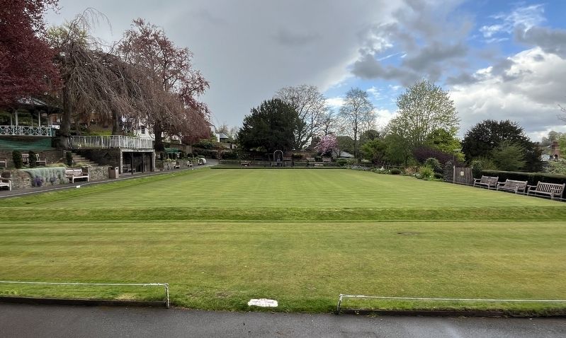
2. The Bowling Green
Photographed by Ray Gurganus, April 13, 2026
3. The War Memorial
Credits. This page was last revised on July 5, 2026. It was originally submitted on July 4, 2026, by Ray Gurganus of Washington, District of Columbia. This page has been viewed 9 times since then. Photos: 1, 2, 3. submitted on July 4, 2026, by Ray Gurganus of Washington, District of Columbia. • Andrew Ruppenstein was the editor who published this page.
