
Cobalt in Timiskaming District, Ontario — Central Canada (North America)
The Hilltop — Le Hilltop
Photographed by Cosmos Mariner, June 2, 2022
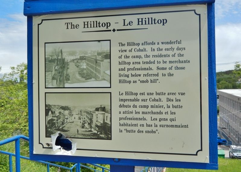
1. The Hilltop — Le Hilltop Marker

The Hilltop affords a wonderful view of Cobalt. In the early days of the camp, the residents of the hilltop area tended to be merchants and professionals. Some of those living below referred to the Hilltop as “snob hill”.
Le Hilltop est une butte avec vue imprenable sur Cobalt. Dès les débuts du camp minier, la butte a attiré les marchands et les professionnels. Les gens qui habitaient en bas la surnommaient la « butte des snobs ».
Erected by Cobalt Historical Society.
Topics. This historical marker is listed in these topic lists: Industry & Commerce • Settlements & Settlers.
Location. 47° 23.783′ N, 79° 41.226′ W. Marker is in Cobalt, Ontario, in Timiskaming District. It is at the intersection of Cobalt Street and Prospect Avenue, on the right when traveling north on Cobalt Street. Touch for map. Marker is in this post office area: Cobalt ON P0J 1C0, Canada. Touch for directions.

Regionally, this marker is in Northeastern Ontario and specifically in Northern Ontario. It is also in Central Canada. Globally, it is in North
this page online
Other nearby markers. At least 8 other markers are within walking distance of this marker: The Coniagas #4 Shaft / Le puits de mine n°4 de la Coniagas (about 90 meters away, measured in a direct line); Major Holland, VC Park (about 120 meters away); Agnico Eagle Mines Limited (about 120 meters away); Historic Prospect Avenue / L'avenue Prospect historique (about 120 meters away); Cobalt Mining / L’exploitation Minière de Cobalt (about 150 meters away); City of Cobalt Shaft / Le puits de mine de la Ville de Cobalt (about 150 meters away); Tripod Drill (about 150 meters away); Bar and Arm Drill (about 150 meters away). Touch for a list and map of all markers in Cobalt.
Photographed by Cosmos Mariner, June 2, 2022
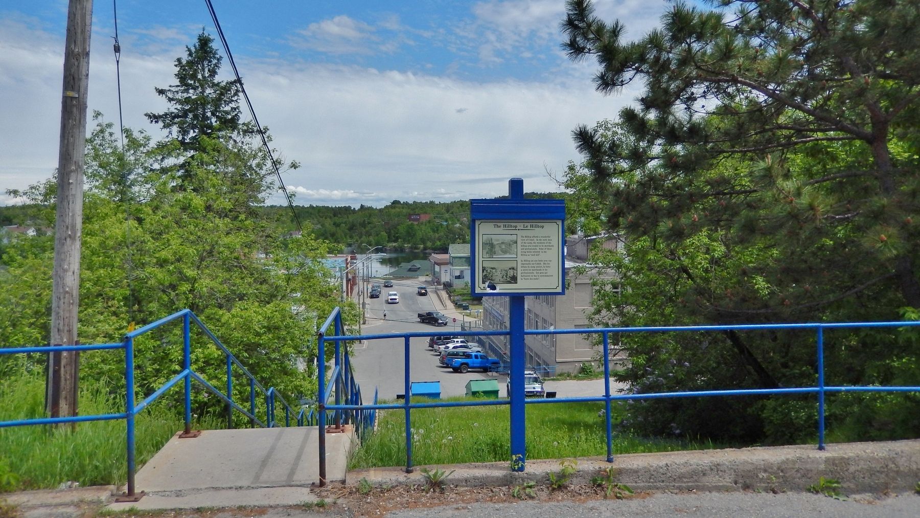
2. The Hilltop — Le Hilltop Marker
Looking downhill across Prospect Avenue and Lang Street to Cobalt Lake.
Credits. This page was last revised on July 8, 2026. It was originally submitted on July 5, 2026, by Cosmos Mariner of Cape Canaveral, Florida. This page has been viewed 11 times since then. Photos: 1, 2. submitted on July 6, 2026, by Cosmos Mariner of Cape Canaveral, Florida.
