Brown Township in McArthur in Vinton County, Ohio — The American Midwest (Great Lakes)
Hope Schoolhouse
⎯⎯⎯
Hiking In Ohio
Photographed by Cajun Scrambler, May 26, 2026
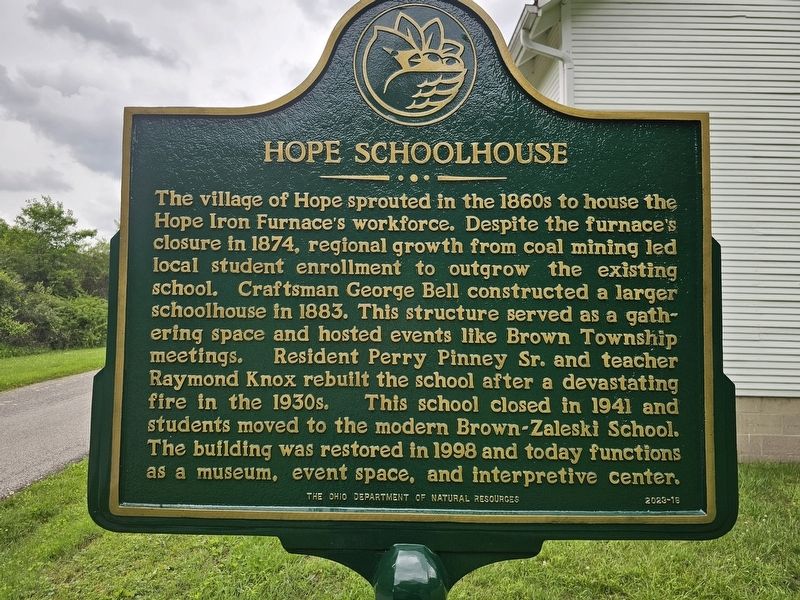
1. Hope Schoolhouse side of marker
Hope Schoolhouse
The village of Hope sprouted in the 1860s to house the Hope Iron Furnace's workforce. Despite the furnace's closure in 1874, regional growth from coal mining led local student enrollment to outgrow the existing school. Craftsman George Bell constructed a larger schoolhouse in 1883. This structure served as a gathering space and hosted events like Brown Township meetings. Resident Perry Pinney Sr. and teacher Raymond Knox rebuilt the school after a devastating fire in the 1930s. This school closed in 1941 and students moved to the modern Brown-Zaleski School. The building was restored in 1998 and today functions as a museum, event space, and interpretive center.
Hiking In Ohio
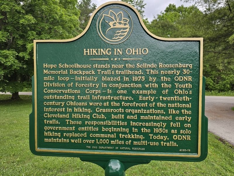
Hope Schoolhouse stands near the Selinde Roosenburg Memorial Backpack Trail's trailhead. This nearly 30- mile loop-initially blazed in 1975 by the ODNR Division of Forestry in conjunction with the Youth Conservations Corps is one example of Ohio's outstanding trail infrastructure. Early twentieth- century Ohioans were at the forefront of the national interest in hiking. Grassroots organizations, like the Cleveland
this page online
Erected by The Ohio Department of Natural Resources. (Marker Number 2023-16.)
Topics. This historical marker is listed in these topic lists: Education • Natural Resources • Parks & Recreational Areas • Settlements & Settlers.
Location. 39° 18.958′ N, 82° 21.135′ W. Marker is in McArthur, Ohio, in Vinton County. It is in Brown Township. It is on Wheelabout Road 0.3 miles south of Shea Road (County Road 3), on the right when traveling south. Touch for map. Marker is at or near this postal address: 27991 Wheelabout Rd, Mc Arthur OH 45651, United States of America. Touch for directions.

Regionally, this marker is in the Hocking Hills and in Southern Ohio Hill Country. It is also in the American Midwest, in Appalachia, and specifically in Northern Appalachia. Globally, it is in North America, the Western Hemisphere,
Photographed by Cajun Scrambler, May 26, 2026
2. Hiking In Ohio side of marker
Other nearby markers. At least 8 other markers are within 3 miles of this marker, measured as the crow flies: Hope Schoolhouse (within shouting distance of this marker); Selinde Roosenburg (within shouting distance of this marker); a different marker also named Hope Schoolhouse (within shouting distance of this marker); Gallia County State Route 160 Racoon Creek Bridge (approx. 1.1 miles away); Hope Furnace (approx. 1.3 miles away); Hope Furnace / Hanging Rock Iron Region (approx. 1.3 miles away); The History of Lake Hope (approx. 1.3 miles away); Adena Culture (approx. 3 miles away). Touch for a list and map of all markers in McArthur.
Other markers no longer nearby. The Hanging Rock Blast Furnace (was approx. 1.3 miles away but has been permanently removed); From Forest to Furnace (was approx. 1.3 miles away but has been permanently removed); The Furnace Legacy (was approx. 1.3 miles away but has been permanently removed);
Photographed by Cajun Scrambler, May 26, 2026
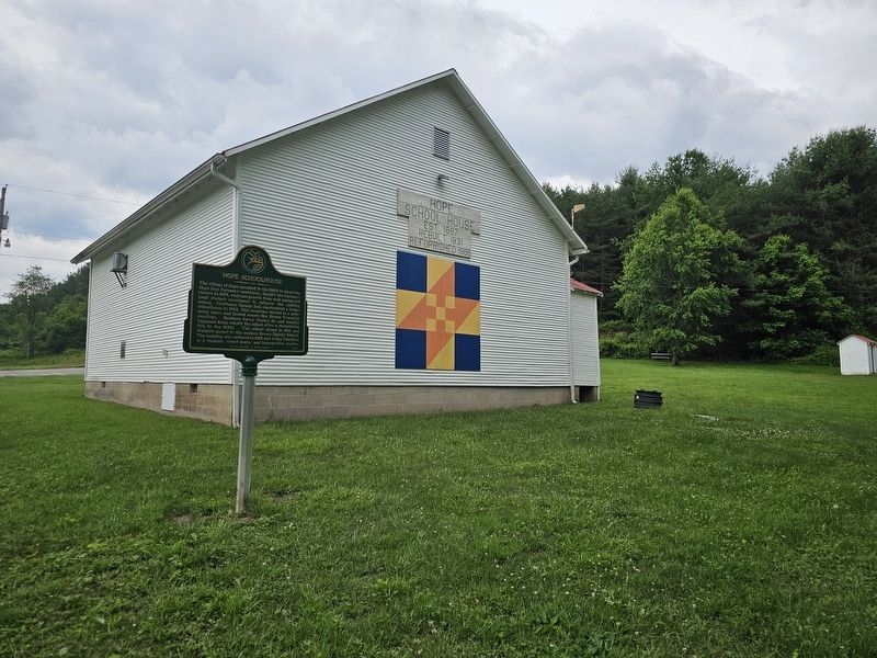
3. Hope Schoolhouse / Hiking In Ohio Marker
Credits. This page was last revised on July 5, 2026. It was originally submitted on July 5, 2026, by Cajun Scrambler of Assumption, Louisiana. This page has been viewed 16 times since then. Photos: 1, 2, 3. submitted on July 5, 2026, by Cajun Scrambler of Assumption, Louisiana.
