Wood Quay in Dublin in County Dublin, Leinster, Ireland — Mid-East (and Dublin)
1600's
Photographed by Ian Lefkowitz, May 17, 2026
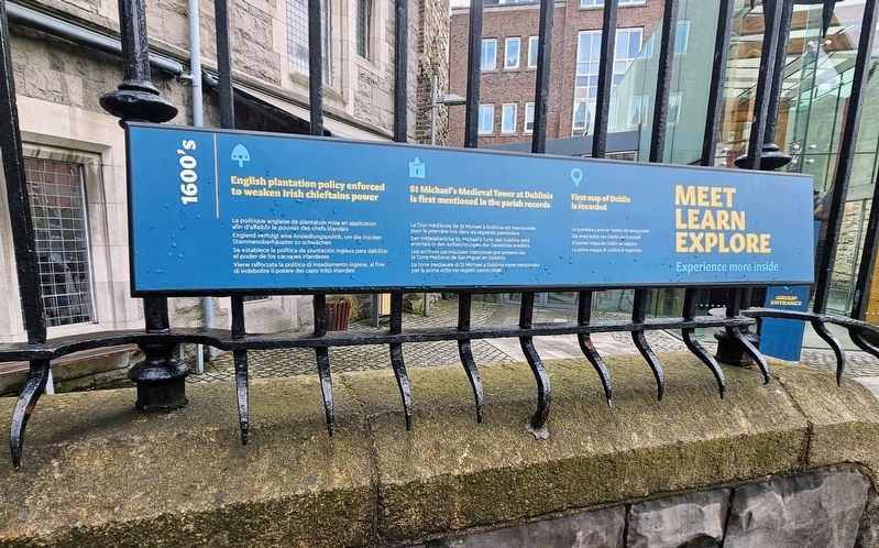
1. 1600's Marker
 1600’s
English plantation policy enforced to weaken Irish chieftains power
La politique anglaise de plantation mise en application afin d’affaiblir le pouvoir des chefs irlandais
England verfolgt eine Ansiedlungspolitik, um die irischen Stammesoberhäupter zu schwächen
Se establece la política de plantación inglesa para debilitar el poder de los caciques irlandeses
Viene rafforzata la politica di insediamento inglese, al fine di indebolire il potere dei capo tribù irlandesi
St Michael’s Medieval Tower at Dublinia is first mentioned in the parish records
La Tour médiévale de St Michael à Dublinia est mentionnée pour la première fois dans les registres paroissiaux
Der mittelalterliche St. Michael’s Turm des Dublinia wird erstmals in den Aufzeichnungen der Gemeinde erwähnt
Los archivos parroquiales mencionan por primera vez la Torre Medieval de San Miguel en Dublinia
La torre medievale di St Michael a Dublinia viene menzionata per la prima volta nei registri parrocchiali
First map of Dublin is recorded
La première carte de Dublin est enregistrée
Die
this page online
El primer mapa de Dublin se registra
La prima mappa di Dublino è registrata
Meet Learn Explore
Experience more inside
Erected by Dublinia.
Topics. This historical marker is listed in these topic lists: Agriculture • Architecture.
Location. 53° 20.601′ N, 6° 16.319′ W. Marker is in Dublin, Leinster, in County Dublin. It is in Wood Quay. It is on Christchurch Place north of High Street, on the left when traveling south. Touch for map. Marker is at or near this postal address: 12 Christchurch Place, Dublin, Leinster, Ireland. Touch for directions.

Regionally, this marker is in the Ancient East. Globally, it is on the Atlantic Ocean, in the North Atlantic Region, in Europe, on the Island of Ireland, on the Celtic Fringe, in the European Union, in Atlantic Europe, on one of the British Isles, in the Western World, and in the Anglosphere.
Other nearby markers. At least 8 other markers are within walking distance of this marker: 1500's (here, next to this marker); 1400’s (here, next to this marker); 1300's (a few
Photographed by Ian Lefkowitz, May 17, 2026
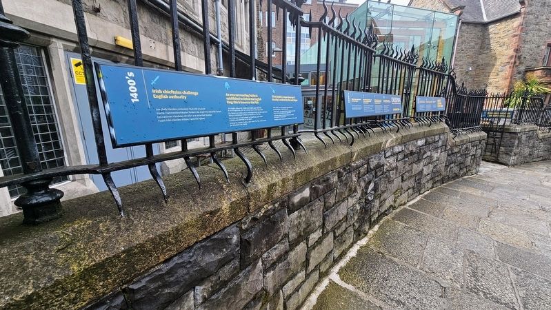
2. 1600's Marker
The marker is located at the entrance to the history museum Dublinia.
Credits. This page was last revised on July 19, 2026. It was originally submitted on July 5, 2026, by Ian Lefkowitz of New York, New York. This page has been viewed 16 times since then. Photos: 1, 2. submitted on July 5, 2026, by Ian Lefkowitz of New York, New York. • Andrew Ruppenstein was the editor who published this page.
