Scituate in Plymouth County, Massachusetts — The American Northeast (New England)
The Wharf Area
| — | Harborwalk | — |
Photographed by G.W.Bartlett, July 5, 2026
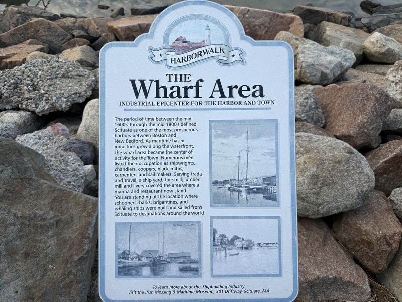
1. The Wharf Area Marker
Industrial Epicenter for the Harbor and Town
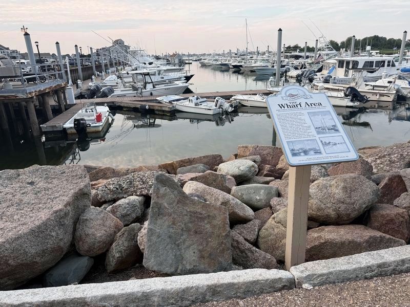
The period of time between the mid 1600's through the mid 1800's defined Scituate as one of the most prosperous harbors between Boston and New Bedford. As maritime based industries grew along the waterfront, the wharf area became the center of activity for the Town. Numerous men listed their occupation as shipwrights, chandlers, coopers, blacksmiths, carpenters and sail makers. Serving trade and travel, a ship yard, tide mill, lumber mill and livery covered the area where a marina and restaurant now stand. You are standing at the location where schooners, barks, brigantines, and whaling ships were built and sailed from Scituate to destinations around the world.
visit the Irish Mossing & Maritime Museum, 301 Driftway, Scituate, MA
Erected by The Maritime and Irish Mossing Museum.
Topics. This historical marker is listed in these topic lists: Industry & Commerce • Waterways & Vessels.
Location. 42° 11.703′ N, 70° 43.426′ W. Marker is in Scituate, Massachusetts,
this page online

Regionally, this marker is on the South Shore. It is also in the American Northeast, in New England, and on the Eastern Seaboard. Globally, it is in the North Atlantic Region, North America, the Western Hemisphere, the Western World, and the Anglosphere. Historically, it finds itself in what was once one of the original Thirteen Colonies.
Other nearby markers. At least 8 other markers are within walking distance of this marker: Satuit Brook (approx. 0.2 miles away); Men of Kent Cemetery (approx. half a mile away); First Meeting House (approx. half a mile away); Site of the First Church (approx. half a mile away); Williams-Barker House (approx. 0.6 miles away); First Training Field (approx. 0.7 miles away); Mann Historical Museum (approx. ¾ mile away); The Italian Freighter Etrusco (approx. 0.8 miles away). Touch for a list and map of all markers in Scituate.
Another marker
Photographed by G.W.Bartlett, July 5, 2026
2. The Wharf Area Marker
Also see . . .
1. Scituate, Massachusetts (Wikipedia).
Scituate is a seacoast town in Plymouth County, Massachusetts, United States, on the South Shore, midway between Boston and Plymouth.(Submitted on July 5, 2026, by G.W.Bartlett of Hingham, Massachusetts.)
2. The Maritime and Irish Mossing Museum - Scituate Historical Society.
This gem of a museum is all about Scituate’s centuries-old relationship with the sea. Exhibits tell the stories of courage and resilience, of hardship and tragedy, of economic shifts and technological change.(Submitted on July 5, 2026, by G.W.Bartlett of Hingham, Massachusetts.)
Photographed by G.W.Bartlett, July 5, 2026
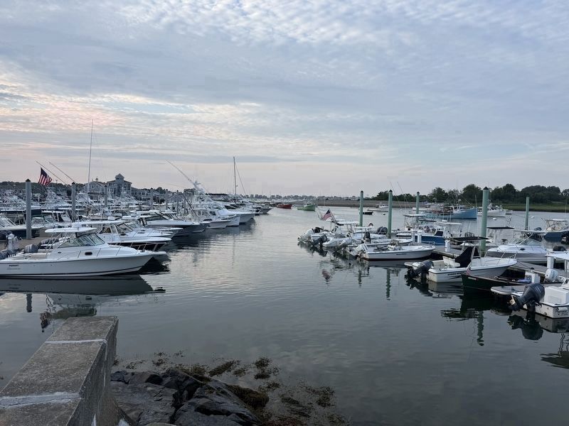
3. Boats in Scituate Harbor
Photographed by G.W.Bartlett, July 5, 2026
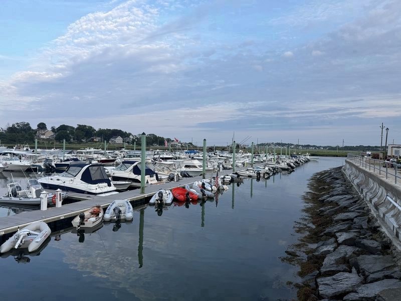
4. Scituate Harbor, Harborwalk is at the right
Credits. This page was last revised on July 10, 2026. It was originally submitted on July 5, 2026, by G.W.Bartlett of Hingham, Massachusetts. This page has been viewed 17 times since then. Photos: 1, 2, 3, 4. submitted on July 5, 2026, by G.W.Bartlett of Hingham, Massachusetts. • Michael Herrick was the editor who published this page.
