Blountville in Sullivan County, Tennessee — The American South (East South Central)
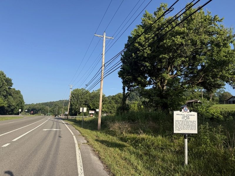
Immanuel Lutheran Church

Tradition holds that Immanuel Lutheran Church, organized in 1793 by German immigrants, is the oldest Lutheran Church in Tennessee. Built with bricks made by Cain Pottery, the church contains an 1864 Belgium-produced bell. Before the erection of the 1903 present-day building, three other structures were on the site. Immanuel has served as a center in the community and was used for several years as a school
Erected by Tennessee Historical Commission. (Marker Number 1A-155.)
Topics and series. This historical marker is listed in these topic lists: Education • Immigration • Religion & Religious Structures. In addition, it is included in the Tennessee Historical Commission series list. A significant historical year for this entry is 1793.
Location. 36° 34.629′ N, 82° 21.569′ W. Marker is in Blountville, Tennessee, in Sullivan County. It is on Lee Highway (U.S. 11W) east of Central Heights Road, on the right when traveling west. Touch for map. Marker is at or near this postal address: 627 Reedy Creek Dr, Blountville TN 37617, United States of America. Touch for directions.

Regionally, this marker is in East Tennessee
this page online
Other nearby markers. At least 8 other markers are within 4 miles of this marker, measured as the crow flies: Island Road (approx. 1.7 miles away); Acuff Chapel (approx. 3 miles away); Battle of Blountville (approx. 3.4 miles away); Taylor’s Meeting House (approx. 3½ miles away); Fain Law Office (approx. 3½ miles away); King Ironworks Cabin (approx. 3½ miles away); Slave Quarters (approx. 3½ miles away); 1840 Smokehouse (approx. 3½ miles away). Touch for a list and map of all markers in Blountville.
Credits. This page was last revised on July 5, 2026. It was originally submitted on July 5, 2026, by Devry Becker Jones of Washington, District of Columbia. This page has been viewed 14 times since then. Photos: 1, 2. submitted on July 5, 2026, by Devry Becker Jones of Washington, District of Columbia.
