Cobalt in Timiskaming District, Ontario — Central Canada (North America)
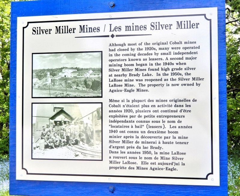
Silver Miller Mines
⎯⎯⎯
Les mines Silver Miller
Photographed by Cosmos Mariner, June 2, 2022
1. Silver Miller Mines / Les mines Silver Miller Marker

Erected by Cobalt Historical Society.
Topics. This historical marker is listed in this topic list: Industry & Commerce.
Location. 47° 23.957′ N,
this page online

Regionally, this marker is in Northeastern Ontario and specifically in Northern Ontario. It is also in Central Canada. Globally, it is in North America, the Great North Woods, the Western Hemisphere, the Western World, and the Anglosphere. Historically, it finds itself in what was once a British colony, the Viceroyalty of New France, the Haudenosaunee (Iroquois) Confederacy, and Rupert’s Land.
Other nearby markers. At least 8 other markers are within walking distance of this marker: 1977 Fire / L'incendie de 1977 (within shouting distance of this marker); Right-of-Way Mine Site (about 150 meters away, measured in a direct line); William Henry Drummond (approx. 0.4 kilometers away); Swamp Street / La rue Swamp (approx. 0.6 kilometers away); The Town Square / La place publique (approx. 0.6 kilometers away); Bruce Lonsdale Memorial Park (approx.
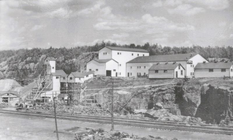
2. Marker detail: Silver Miller Mines
Also see . . . Larose Mine (HistoricPlacesDays).
Excerpt: In 1907 Larose Mines Ltd. was incorporated to develop the property and they mined it until 1908 when the Larose Consolidated Mining Co. took over. This was followed by LaRose-Rouyn Mines Ltd. in 1926, New Larose Mining & Smelting in 1948, and then Silver Miller Mines Ltd. in 1949. Silver Miller Mines Ltd. was the last company to mine silver here. Total silver production for the Larose property was close to 17.5 million troy ounces and 200,000 pounds of cobalt.(Submitted on July 6, 2026, by Cosmos Mariner of Cape Canaveral, Florida.)In 1972 Silver Shield Mines Inc. took over the property and all the buildings of Silver Miller Mines were demolished to make way for a proposed silver refinery and mint. Unfortunately, that never came about, and in 1975 Canadian Smelting and Refining Ltd. took the property over and built a refinery and operated here until 1982. Then Agnico-Eagle Mines Ltd. bought them out and refined their silver there
until 1989 when the company shut down all operations in the Cobalt area.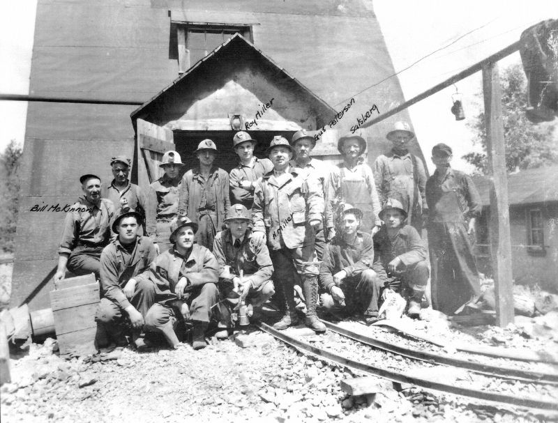 3. Marker detail: Silver Miller Mines
Photographed by Cosmos Mariner, June 2, 2022
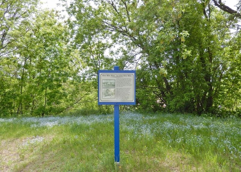
4. Silver Miller Mines / Les mines Silver Miller Marker
Looking south from Lang Street.
Credits. This page was last revised on July 8, 2026. It was originally submitted on July 6, 2026, by Cosmos Mariner of Cape Canaveral, Florida. This page has been viewed 16 times since then. Photos: 1, 2, 3, 4. submitted on July 6, 2026, by Cosmos Mariner of Cape Canaveral, Florida.
