Blackton in Monroe County, Arkansas — The American South (West South Central)
Mt. Union Church of Christ and Cemetery
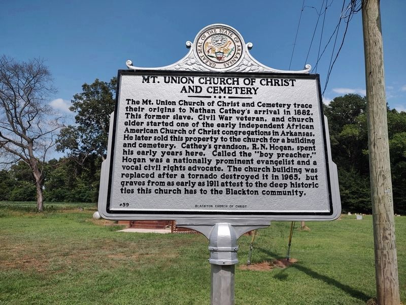
Photographed by Jimmy Emerson, July 5, 2026
1. Mt. Union Church of Christ and Cemetery Marker
Erected 2026 by Blackton Church of Christ. (Marker Number 59.)
Topics and series. This historical marker is listed in these topic lists: African Americans • Cemeteries & Burial Sites • Religion & Religious Structures. In addition, it is included in the Arkansas Heritage series list. A significant historical year for this entry is 1882.
Location. 34° 36.918′ N, 91° 4.143′ W. Marker is in Blackton, Arkansas, in Monroe County. It is on Palmer Road.
this page online

Regionally, this marker is in the Arkansas Delta and in the Mississippi Alluvial Plain. It is also in the American South, specifically in the Upper South, and in the Mississippi Delta. Globally, it is in North America, the Western Hemisphere, the Western World, and the Anglosphere. Historically, it finds itself in what was once the territory of the Mississippian Culture, the Louisiana Purchase, one of the Confederate States of America, and the Antebellum South.
Other nearby markers. At least 8 other markers are within 3 miles of this marker, measured as the crow flies: Louisiana Territory: 1682-1800 (approx. 2.2 miles away); The Purchase: 1801-1803 (approx. 2.2 miles away); Life in the Swamp (approx. 2.2 miles away); The Swamp (approx. 2.3 miles away); Louisiana Purchase State Park (approx. 2.3 miles away); The Survey: 1815 (approx. 2.3 miles away); Two Lines Mark the Future of the United States (approx. 2.3 miles away); Initial Point of the Louisiana Purchase Survey (approx.

Photographed by Jimmy Emerson, July 5, 2026
2. Mt. Union Church of Christ and Cemetery Marker
More about this marker. Marker was dedicated at 1 PM on July 5, 2026. I took the picture 2.5 hours after the dedication.
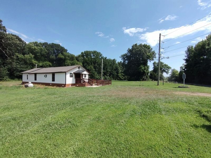
Photographed by Jimmy Emerson, July 5, 2026
3. Mt. Union Church of Christ and Cemetery & Marker
Credits. This page was last revised on July 8, 2026. It was originally submitted on July 6, 2026, by Jimmy Emerson of Dalton, Georgia. This page has been viewed 43 times since then. Photos: 1, 2, 3. submitted on July 6, 2026, by Jimmy Emerson of Dalton, Georgia. • Andrew Ruppenstein was the editor who published this page.
