Radford, Virginia — The American South (Mid-Atlantic)
New River Bridge
| — | Attack on the Virginia & Tennessee Railroad | — |
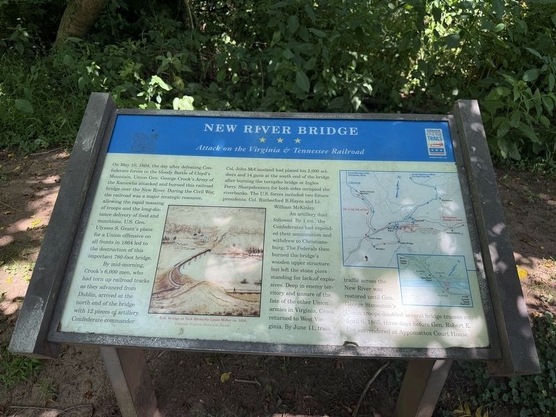
On May 10, 1864, the day after defeating Confederate forces in the bloody battle of Cloyd's Mountain, Union Gen. George Crook's Army of the Kanawha attacked and burned this railroad bridge over the New River. During the Civil War, the railroad was a major strategic resource, allowing the rapid massing of troops and the long-distance delivery of food and munitions. U.S. Gen. Ulysses S. Grant's plans for a Union offensive on all fronts in 1864 led to the destruction of this important 780-foot bridge.
By mid-morning, Crook's 6,000 men, who had torn up railroad tracks as they advanced from Dublin, arrived at the north end of the bridge with 12 pieces of artillery. Confederate commander Col. John McCausland had placed his 2,000 soldiers and 14 guns at the south end of the bridge after burning the turnpike bridge at Ingles Ferry. Sharpshooters for both sides occupied the riverbanks. The U.S. forces included two future presidents: Col. Rutherford B. Hayes and Lt. William McKinley.
An artillery duel followed. By 1 p.m., the Confederates had expended their ammunition and withdrew to Christiansburg. The Federals then burned
this page online
[Caption:]
R.R. Bridge at New River, by Louis Miller ca. 1850. Courtesy Virginia Historical Society
Erected by Virginia Civil War Trails.
Topics and series. This historical marker is listed in these topic lists: Bridges & Viaducts • Railroads & Streetcars • War, US Civil. In addition, it is included in the Virginia Civil War Trails series list. A significant historical date for this entry is April 6, 1865.
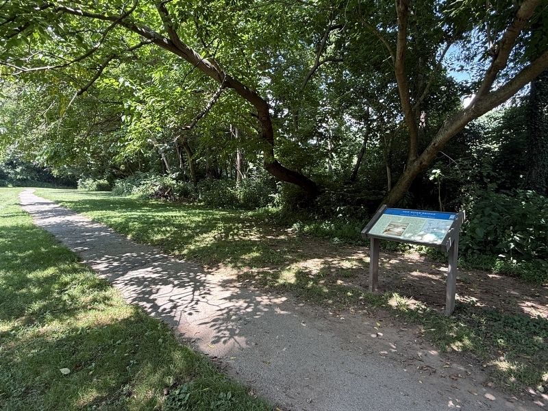
Location. 37° 8.057′ N, 80° 34.829′ W. Marker is in Radford, Virginia. It is on Berkley Williams Drive west of New River Drive, on the right when traveling west. Touch for map. Marker is at or near this postal address: 375 Berkley Williams Dr, Radford VA 24141, United States of America.

Regionally, this marker is in Southwest Virginia and in the Blue Ridge Highlands. It is also in the American South, specifically in the Upper South, in Appalachia, and specifically in Southern Appalachia. Globally, it is in North America, the Western Hemisphere, the Western World, and the Anglosphere. Historically, it finds itself in what was once the territory of the Mississippian Culture, one of the original Thirteen Colonies, one of the Confederate States of America, and the Antebellum South.
Other nearby markers. At least 8 other markers are within walking distance of this marker: The City by the River (about 400 feet away, measured in a direct line); Northern Catalpa (about 500 feet away); American Hackberry (about 500 feet away); The Railroad Arrives (about 500 feet away); Westward Migration (about 500 feet away); Mary Draper Ingles (about 500 feet away); Glencoe Mansion (about 700 feet away); Home Guards (about 700 feet away). Touch for a list and map of all markers in Radford.
Another marker is no longer nearby. New River Bridge (has been replaced with this marker).
Credits. This page was last revised on July 6, 2026. It was originally submitted on July 6, 2026, by Devry Becker Jones of Washington, District of Columbia. This page has been viewed 26 times since then. Photos: 1, 2. submitted on July 6, 2026, by Devry Becker Jones of Washington, District of Columbia.
