Oak Grove in West Carroll Parish, Louisiana — The American South (West South Central)
Lane's Ferry
Photographed by Jimmy Emerson, July 4, 2026
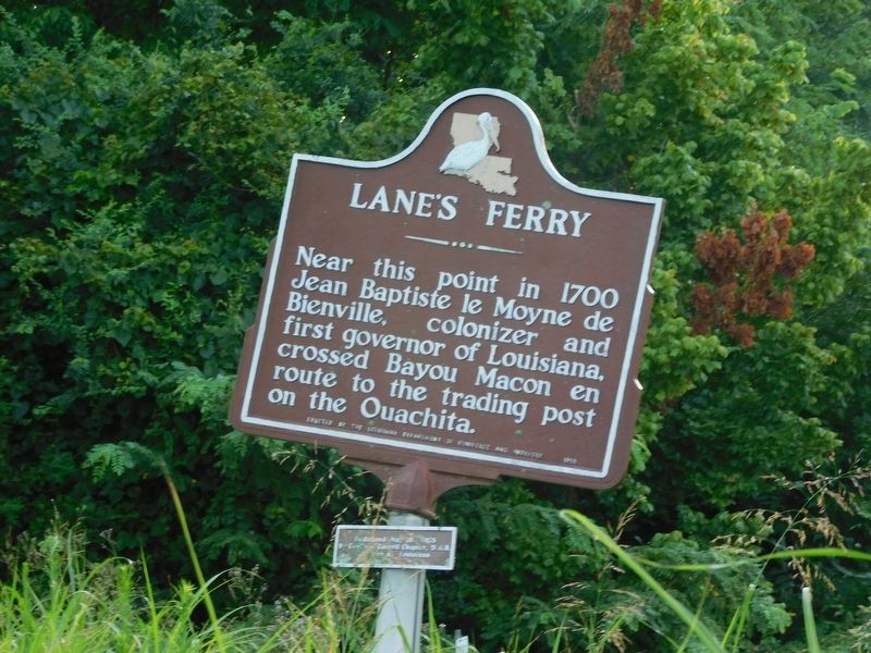
1. Lane's Ferry Marker
Near this point in 1700 Jean Baptiste le Moyne de Bienville, colonizer and first governor of Louisiana, crossed Bayou Macon en route to the trading post on the Ouachita.
Erected 1956 by Louisiana Department of Commerce and Industry.
Topics. This historical marker is listed in these topic lists: Exploration • Waterways & Vessels. A significant historical year for this entry is 1700.
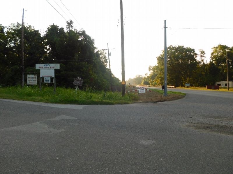
Location. 32° 51.604′ N, 91° 20.541′ W. Marker is in Oak Grove, Louisiana, in West Carroll Parish. It is at the intersection of State Highway 2 and Macon Front Road, on the right when traveling west on State Highway 2. Touch for map. Marker is at or near this postal address: 9037 LA-2, Oak Grove LA 71263, United States of America. Touch for directions.

Regionally, this marker is in North Louisiana. It is also in the American South, specifically in the Deep South, and in the Mississippi Delta. Globally, it is in North America, a Gulf of Mexico state, the Western Hemisphere, the Western World, and the Anglosphere. Historically, it finds itself in what was once the territory of the Mississippian Culture, the Louisiana
this page online
Other nearby markers. At least 8 other markers are within 9 miles of this marker, measured as the crow flies: Oak Grove Community House (approx. 2½ miles away); Tony Joe White (approx. 2.6 miles away); Dr. Guthrie Jarrell Plaza (approx. 2.8 miles away); Farming With Plows (approx. 8.3 miles away); Farming By Hand (approx. 8.3 miles away); The Barn (approx. 8.3 miles away); Gin Office (approx. 8.3 miles away); Hood Home Plantation (approx. 8.3 miles away). Touch for a list and map of all markers in Oak Grove.
Photographed by Jimmy Emerson, July 4, 2026
2. Lane's Ferry Marker
Credits. This page was last revised on July 10, 2026. It was originally submitted on July 6, 2026, by Jimmy Emerson of Dalton, Georgia. This page has been viewed 15 times since then. Photos: 1, 2. submitted on July 6, 2026, by Jimmy Emerson of Dalton, Georgia. • James Hulse was the editor who published this page.
