Tri-town Trolleys
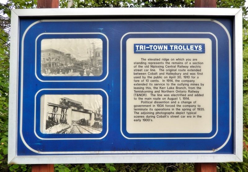
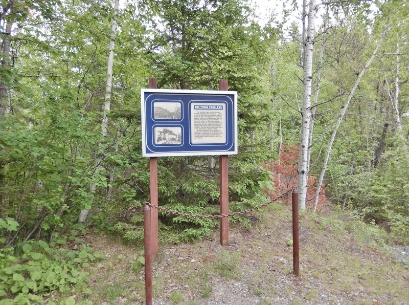
The elevated ridge on which you are standing represents the remains of a section of the old Nipissing Central Railway electric street car line. The original route extended between Cobalt and Haileybury and was first used by the public on April 30, 1910 for a fare of 10 cents. In 1914, the company extended its service to the outlying mines by leasing this, the Kerr Lake Branch, from the Temiskaming and Northern Ontario Railway (T&NOR). The line was electrified and added to the main route on August 1, 1914.
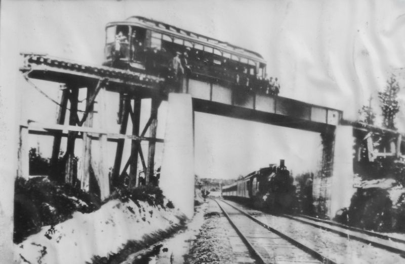
Political dissention and a change of government in 1934 forced the company to terminate its operations in the spring of 1935. The adjoining photographs depict typical scenes during Cobalt's street car era in the early 1900's.
Topics. This historical marker is listed in these topic lists: Industry & Commerce • Railroads & Streetcars. A significant historical date for this entry is April 30, 1910.
Location. 47° 23.286′ N, 79° 41.484′ W. Marker is in Cobalt, Ontario, in Timiskaming District. It can be reached from Coleman Road half a kilometer east of Provincial Highway 11B, on the right when traveling east. The marker is located
this page online

Regionally, this marker is in Northeastern Ontario and specifically in Northern Ontario. It is also in Central Canada. Globally, it is in North America, the Great North Woods, the Western Hemisphere, the Western World, and the Anglosphere. Historically, it finds itself in what was once a British colony, the Viceroyalty of New France, the Haudenosaunee (Iroquois) Confederacy, and Rupert’s Land.
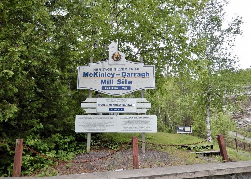
Other nearby markers. At least 8 other markers are within walking distance of this marker: The McKinley-Darragh Story (here, next to this marker); Cobalt Lake Mine (approx. 0.3 kilometers away); Tunnel to Riches (approx. 0.4 kilometers away); Townsite #1 Shaft / Le puits n°1 de la mine Townsite (approx. half a kilometer away); The Glory Hole / Le Glory Hole (approx. half a kilometer away); Nipissing Vein No. 96 (approx. 0.6 kilometers away); The Nancy Helen Mine / La mine Nancy Helen (approx. 0.7 kilometers away); Early Prospecting Techniques
Also see . . .
1. Nipissing Central Railway (Wikipedia).
Excerpt: The Nipissing Central Railway (NCR), sometimes known as the Temiskaming Streetcar Line, is a railway operating in the Canadian provinces of Ontario and Quebec. The line was originally an interurban streetcar system connecting New Liskeard, Haileybury and Cobalt on the western bank of Lake Temiskaming in northern Ontario from 1910 to 1935.(Submitted on July 8, 2026, by Cosmos Mariner of Cape Canaveral, Florida.)In 1902 the Ontario government chartered the Temiskaming & Northern Ontario Railway (T&NO) to connect the towns of New Liskeard and Haileybury on Lake Temiskaming to North Bay on Lake Nipissing. During construction, silver ore was discovered near the Mile 103 post, just southwest of Haileybury. The Cobalt Silver Rush followed, leading to the incorporation of the town of Cobalt in 1906, and a swelling population reaching 10 to 15,000 by 1911.
As the population of all of the towns grew, the need for better transportation between them also grew. The Nipissing Central Railway was granted a federal (Dominion) charter on 12 April 1907, and
opened the first portion of the line between Cobalt and Haileybury on 30 April 1910. The route followed King Street out of Cobalt, turning onto the city streets of what is today's North Cobalt (the outskirts of Haileybury) and turning downtown before ending at Main Street in Haileybury.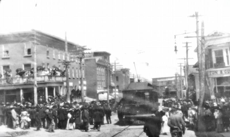 3. Marker detail: Streetcar in Town
The line was purchased by the T&NO on 20 June 1911. An extension along Lake Timiskaming to New Liskeard opened on 1 November 1912, ending at Whitewood Avenue. In 1914, an existing spur line on the T&NO to Kerr Lake was electrified and joined to the NCR. This section was abandoned in 1924. Interurban operations on the NCR ended on 9 February 1935.
2. Temiskaming and Northern Ontario Railway (Wikipedia).
Excerpt: Today known as the Ontario Northland Railway (O.N. Rail or ONR), the predecessor Temiskaming and Northern Ontario Railway (T&NOR) was incorporated on 17 March 1902, by the Temiskaming and Northern Ontario Railway Act of the Ontario parliament. The railway was to be a provincial Crown corporation overseen by the Temiskaming and Northern Ontario Railway(Submitted on July 8, 2026, by Cosmos Mariner of Cape Canaveral, Florida.)Commission. Construction on the railway started in 1903, and the settlement of Redwater in the municipality of Temagami began as a small request stop when the railway reached the area of the Lower and Upper Redwater Lakes.Photographed by Cosmos Mariner, June 2, 20224. Tri-town Trolleys MarkerAs it passed by Long Lake, near the 103 mile marker, the largest silver rush in Canada was sparked by workers looking for trees for railway ties. The town of Cobalt grew out of the fortunes of silver taken from the grounds. By 1905, it reached New Liskeard in the Lake Timiskaming area. The railway reached Englehart in 1906 and Cochrane in 1909. In the next few years, several branch lines were built.
Credits. This page was last revised on July 8, 2026. It was originally submitted on July 6, 2026, by Cosmos Mariner of Cape Canaveral, Florida. This page has been viewed 16 times since then. Photos: 1. submitted on July 7, 2026, by Cosmos Mariner of Cape Canaveral, Florida. 2, 3. submitted on July 8, 2026, by Cosmos Mariner of Cape Canaveral, Florida. 4. submitted on July 7, 2026, by Cosmos Mariner of Cape Canaveral, Florida. 5. submitted on July 8, 2026, by Cosmos Mariner of Cape Canaveral, Florida.
