Near Albany in Shackelford County, Texas — The American South (West South Central)
Administration Building
Photographed by James Hulse, March 29, 2026
1. Administration Building Marker
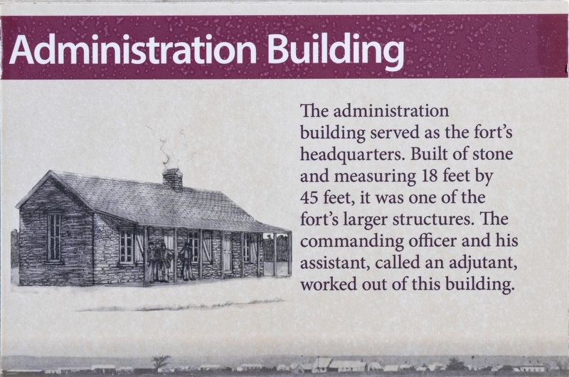
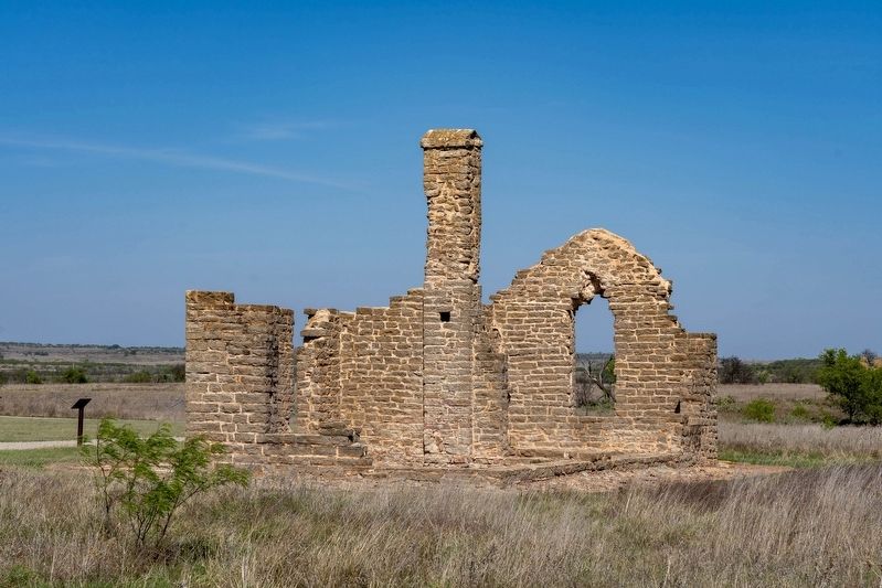
The administration building served as the fort's headquarters. Built of stone and measuring 18 feet by 45 feet, it was one of the fort's larger structures. The commanding officer and his assistant, called an adjutant, worked out of this building.
Topics. This historical marker is listed in these topic lists: Forts and Castles • Wars, US Indian.
Location. 32° 55.655′ N, 99° 13.856′ W. Marker is near Albany, Texas, in Shackelford County. It is on Park Rd 58 half a mile west of U.S. 283. The marker is located on the Fort Griffin State Historic Site grounds. Touch for map. Marker is at or near this postal address: 2002 B N 283, Albany TX 76430, United States of America. Touch for directions.

Regionally, this marker is in Big Country. Globally, it is in North America, a Gulf of Mexico state, the Western Hemisphere, the Western World, and the Anglosphere. Historically, it finds itself in what was once New Spain, the Comanchería, the Republic of Texas, and one of the Confederate States of America.
Other nearby markers. At least 8 other markers are within walking
this page online
Photographed by James Hulse, March 29, 2026
2. Administration Building Marker
Credits. This page was last revised on July 7, 2026. It was originally submitted on July 6, 2026, by James Hulse of Medina, Texas. This page has been viewed 15 times since then. Photos: 1, 2. submitted on July 7, 2026, by James Hulse of Medina, Texas.
