You Bet in Nevada County, California — The American West (Pacific Coastal)
Truckee Trail - Steep Hollow Descent
Photographed by Cory Waters, July 7, 2026
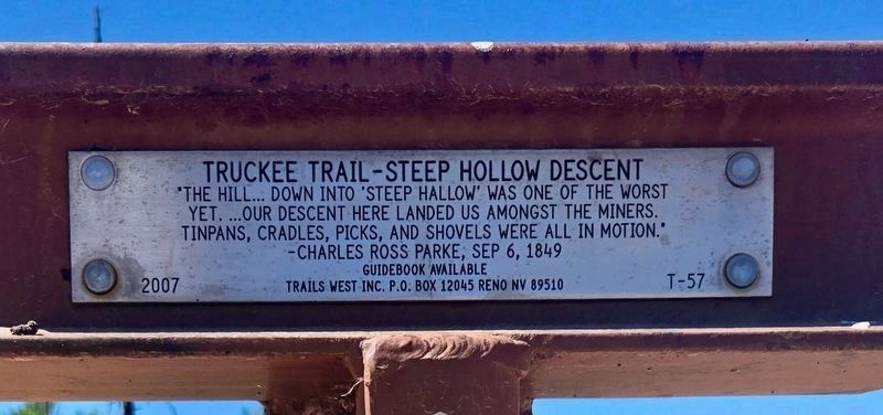
1. Truckee Trail - Steep Hollow Descent Marker
"The hill... down into 'steep hallow' was one of the worst yet....our descent here landed us amongst the miners. Tinpans, cradles, picks, and shovels were all in motion."
-Charles Ross Parke, Sep 6, 1849
Erected 2007 by Trails West Inc. (Marker Number T-57.)
Topics and series. This historical marker is listed in this topic list: Roads & Vehicles. In addition, it is included in the California Trail, the Trails West Inc., and the Truckee Trail series lists. A significant historical date for this entry is September 6, 1849.
Location. 39° 11.204′ N, 120° 53.429′ W. Marker is in You Bet, California, in Nevada County. It can be reached from Chicago Park Powerhouse Road. Touch for map. Marker is in this post office area: Grass Valley CA 95945, United States of America. Touch for directions.

Regionally, this marker is in the Sierra Nevada. It is also in the American Mountain West. Globally, it is in North America, on the Ring of Fire, on the Pacific Rim, in the Western Hemisphere, in the Western World, and in the Anglosphere. Historically, it finds itself in what was once New Spain and also Mexico’s Alta California.
Other nearby markers. At
this page online
Photographed by Cory Waters, July 7, 2026
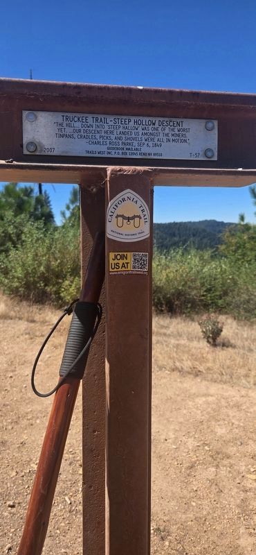
2. Truckee Trail - Steep Hollow Descent Marker
Photographed by Cory Waters, July 7, 2026
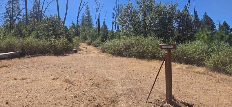
3. Truckee Trail - Steep Hollow Descent Marker
Credits. This page was last revised on July 9, 2026. It was originally submitted on July 7, 2026, by Cory Waters of Bangor, California. This page has been viewed 23 times since then. Photos: 1. submitted on July 9, 2026, by Cory Waters of Bangor, California. 2, 3. submitted on July 7, 2026, by Cory Waters of Bangor, California. • Andrew Ruppenstein was the editor who published this page.
