Abingdon in Washington County, Virginia — The American South (Mid-Atlantic)
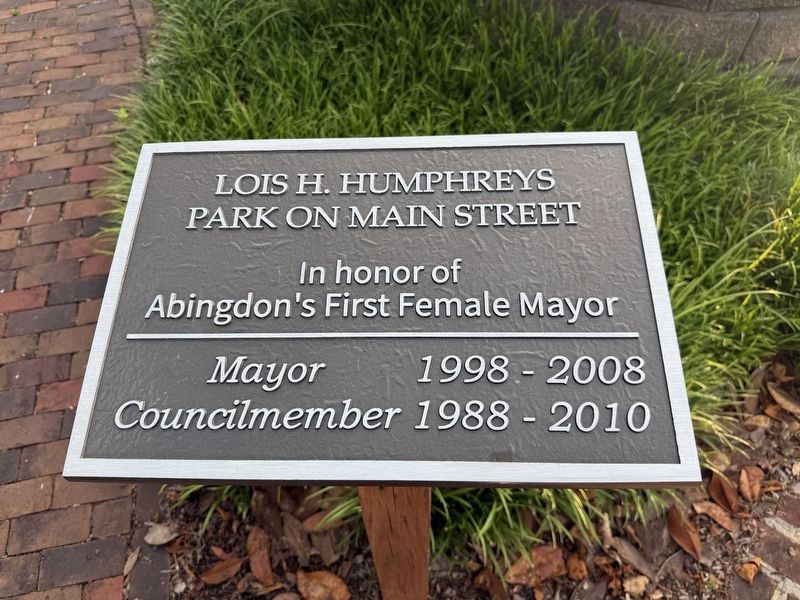
Lois H. Humphreys Park on Main Street
Photographed by Devry Becker Jones (CC0), July 3, 2026
1. Lois H. Humphreys Park on Main Street Marker
Abingdon's first female mayor
Mayor 1998-2008
Councilmember 1988-2010
Erected by Town of Abingdon.
Topics. This historical marker is listed in these topic lists: Government & Politics • Women. A significant historical year for this entry is 1988.
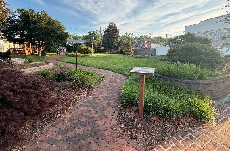
Location. 36° 42.524′ N, 81° 58.845′ W. Marker is in Abingdon, Virginia, in Washington County. It is on West Main Street (Route 11) west of Wall Street North, on the right when traveling west. Touch for map. Marker is at or near this postal address: 319 W Main St, Abingdon VA 24210, United States of America. Touch for directions.

Regionally, this marker is in Virginia’s Tri-Cities Area, in Southwest Virginia, and in the Blue Ridge Highlands. It is also in the American South, specifically in the Upper South, in Appalachia, and specifically in Southern Appalachia. Globally, it is in North America, the Western Hemisphere, the Western World, and the Anglosphere. Historically, it finds itself in what was once the territory of the Mississippian Culture, one of the original Thirteen Colonies, one of the Confederate States of America,
this page online
Other nearby markers. At least 8 other markers are within walking distance of this marker: Celebrate! A Social History of Abingdon (within shouting distance of this marker); Hubert J. Treacy, Jr. (about 300 feet away, measured in a direct line); The Cummings Cabin (about 400 feet away); Washington County, Virginia Revolutionary War Memorial (about 400 feet away); Sinking Spring Cemetery (about 400 feet away); Confederate General John Hunt Morgan (about 500 feet away); Henry Creswell (about 600 feet away); Sinking Springs Cemetery Confederate Memorial (about 700 feet away). Touch for a list and map of all markers in Abingdon.
Credits. This page was last revised on July 30, 2026. It was originally submitted on July 7, 2026, by Devry Becker Jones of Washington, District of Columbia. This page has been viewed 17 times since then. Photos: 1, 2. submitted on July 7, 2026, by Devry Becker Jones of Washington, District of Columbia.
