Duffield in Scott County, Virginia — The American South (Mid-Atlantic)
Daniel Boone Trail
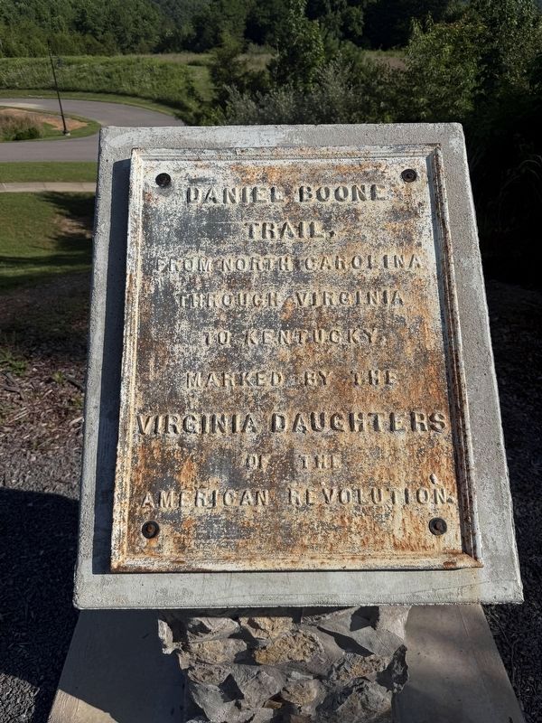
Daniel Boone Trail, from North Carolina through Virginia to Kentucky.
Erected 1914 by Virginia Daughters of the American Revolution.
Topics and series. This historical marker is listed in these topic lists: Roads & Vehicles • Settlements & Settlers. In addition, it is included in the Daughters of the American Revolution (DAR) series list.
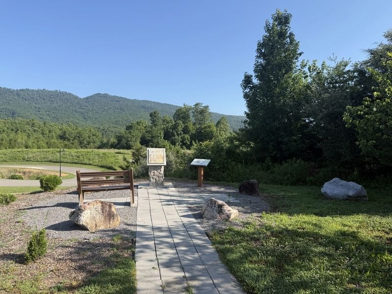
Location. 36° 42.836′ N, 82° 48.352′ W. Marker is in Duffield, Virginia, in Scott County. It can be reached from Technology Trail Lane north of Duff Patt Highway (U.S. 58/421), on the left when traveling north. Touch for map. Marker is at or near this postal address: 371 Technology Trail Ln, Duffield VA 24244, United States of America. Touch for directions.

Regionally, this marker is in the Tri-Cities Area and in Southwest Virginia. It is also in the American South, specifically in the Upper South, in Appalachia, and specifically in Southern Appalachia. Globally, it is in North America, the Western Hemisphere, the Western World, and the Anglosphere. Historically, it finds itself in what was once the original Cherokee
this page online
Other nearby markers. At least 8 other markers are within 4 miles of this marker, measured as the crow flies: Lost No Longer! (here, next to this marker); The Crooked Road / Duffield (approx. ¾ mile away); a different marker also named Daniel Boone Trail (approx. ¾ mile away); Carter’s Fort (approx. 3 miles away); a different marker also named Carter’s Fort (approx. 3.2 miles away); Lee County / Scott County (approx. 3.3 miles away); The Natural Tunnel Route (approx. 3½ miles away); Scott County / Lee County (approx. 3.9 miles away). Touch for a list and map of all markers in Duffield.
Credits. This page was last revised on July 7, 2026. It was originally submitted on July 7, 2026, by Devry Becker Jones of Washington, District of Columbia. This page has been viewed 14 times since then. Photos: 1, 2. submitted on July 7, 2026, by Devry Becker Jones of Washington, District of Columbia.
