Near Pearisburg in Giles County, Virginia — The American South (Mid-Atlantic)
Thomas Farley, Sr.
Photographed by Tom Bosse, July 2, 2026
1. Thomas Farley, Sr. Marker
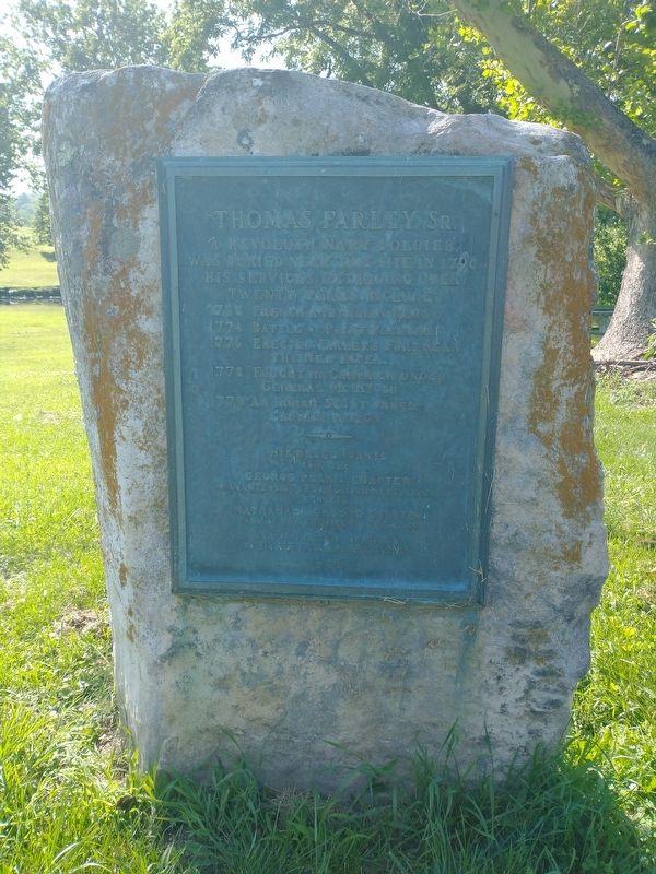
A Revolutionary War soldier, was buried near this site in 1796. His services, extending over twenty years, include:
1758 French and Indian Wars
1774 Battle of Point Pleasant
1776 Erected Farley's Fort, near the New River.
1778 Fought in campaign under General McIntosh
1779 An Indian Scout under Captain Patton
His descendants join the George Pearis Chapter, Daughters of the American Revolution and the Nathanael Greene Chapter, Sons of the American Revolution in placing this memorial to his service and patriotism 1944
Erected 1944 by George Pearis Chapter, Daughters of the American Revolution and the Nathanael Greene Chapter, Sons of the American Revolution.
Topics and series. This historical marker is listed in these topic lists: Forts and Castles • Patriots & Patriotism • War, French and Indian • War, US Revolutionary. In addition, it is included in the Daughters of the American Revolution (DAR), and the Sons of the American Revolution (SAR) series lists. A significant historical year for this entry is 1796.
Location. 37° 15.947′ N, 80° 42.719′ W. Marker is near Pearisburg, Virginia, in Giles
this page online

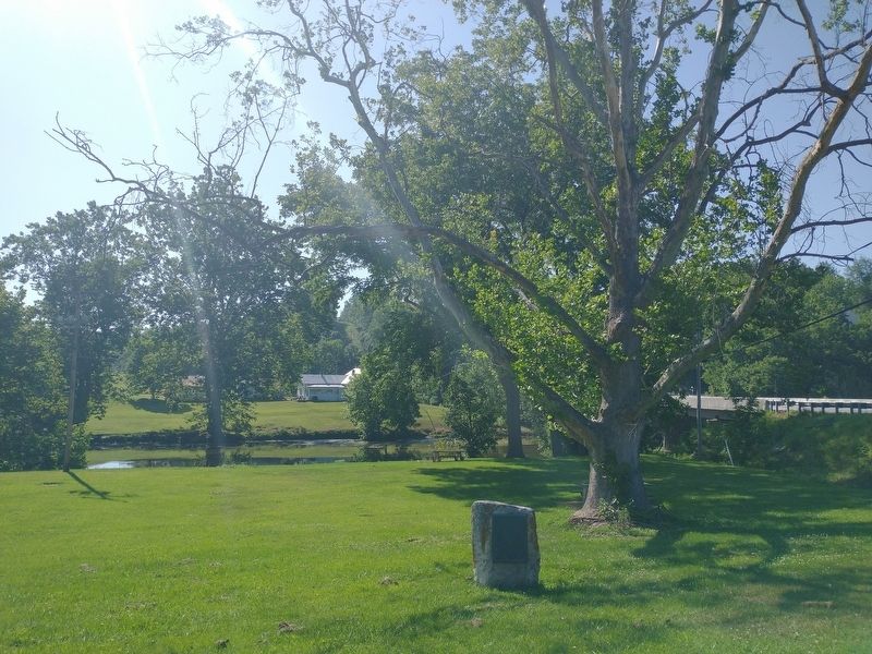
Regionally, this marker is in Southwest Virginia, in the Blue Ridge Highlands, and in the New River Gorge. It is also in the American South, specifically in the Upper South, in Appalachia, and specifically in Southern Appalachia. Globally, it is in North America, the Western Hemisphere, the Western World, and the Anglosphere. Historically, it finds itself in what was once the territory of the Mississippian Culture, one of the original Thirteen Colonies, one of the Confederate States of America, and the Antebellum South.
Other nearby markers. At least 8 other markers are within 5 miles of this marker, measured as the crow flies: Mountain Evangelist (approx. 1.7 miles away); Old-Fashioned Camp Meeting (approx. 2.4 miles away); Giles County War Memorial (approx. 4.4 miles away); Revolutionary War Soldiers (approx. 4.4 miles away);
Photographed by Tom Bosse, July 2, 2026
2. Thomas Farley, Sr. Marker
Related markers. Click here for a list of markers that are related to this marker.
Credits. This page was last revised on July 18, 2026. It was originally submitted on July 7, 2026, by Tom Bosse of Jefferson City, Tennessee. This page has been viewed 14 times since then. Photos: 1, 2. submitted on July 7, 2026, by Tom Bosse of Jefferson City, Tennessee. • Andrew Ruppenstein was the editor who published this page.
