Near Pembroke in Giles County, Virginia — The American South (Mid-Atlantic)
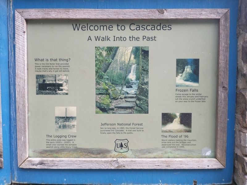
Welcome to Cascades
A Walk Into the Past
Photographed by Tom Bosse, July 2, 2026
1. Welcome to Cascades Marker
Jefferson National Forest
Not so long ago, in 1965, the Forest Service purchased the Cascades. A trail was built to finally open the falls to the public.
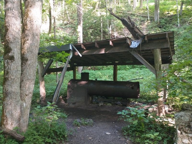
What is that thing?
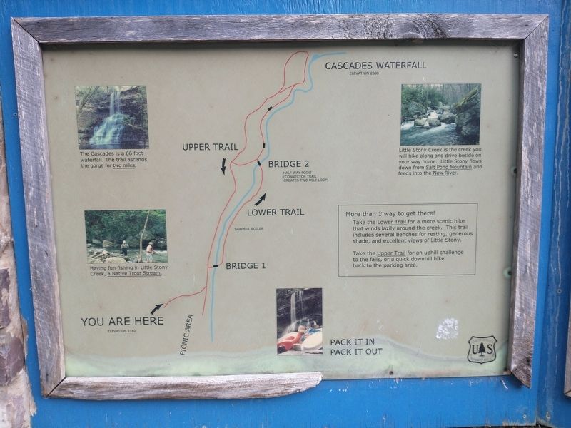
This is the old boiler that provided power necessary to run the sawmill. It took tracks and horses to move, maybe that's why it got left behind.
The Logging Crew
This entire area was logged in the early 1920's - 1930's. A small crew worked the portable sawmill along Little Stony Creek.
Frozen Falls
Come escape to the winter woods this January and February. Let the snow crunch underfoot on your way to the frozen falls.
The Flood of '96
Storm waters melting the mountain snow tore out the bridges and destroyed the trail. Reconstruction was completed in 1999.
Erected by U.S. Forest Service.
Topics. This historical marker is listed in these topic lists: Industry & Commerce • Parks & Recreational Areas. A significant historical year for this entry is 1965.
Location. 37° 21.234′ N, 80° 35.943′ W. Marker is near Pembroke, Virginia, in Giles County. It is on Cascade Drive, on the right when traveling north. Marker is located at the
this page online

Regionally, this marker is in Southwest Virginia, in the Blue Ridge Highlands, and in the New River Gorge. It is also in the American South, specifically in the Upper South, in Appalachia, and specifically in Southern Appalachia. Globally, it is in North America, the Western Hemisphere, the Western World, and the Anglosphere. Historically, it finds itself in what was once the territory of the Mississippian Culture, one of the original Thirteen Colonies, one of the Confederate States of America, and the Antebellum South.
Other nearby markers. At least 8 other markers are within 8 miles of this marker, measured as the crow flies: Camp John J. Pershing (approx. 3 miles away); Snidow Pioneers (approx. 3.2 miles away); Snidow's Ferry (approx. 4½ miles away); Eggleston's Springs (approx. 4.6 miles away); Revolutionary War Soldiers (approx. 7.7 miles away); Giles County War Memorial (approx. 7.7 miles away); Giles County Confederate Monument (approx.
Photographed by Tom Bosse, July 2, 2026
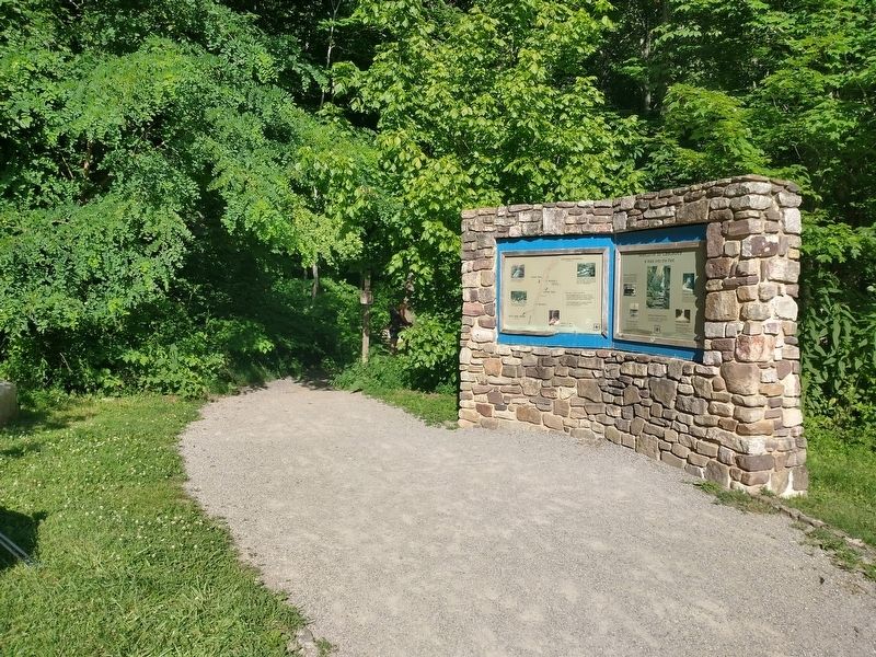
2. Welcome to Cascades Marker
Photographed by Tom Bosse, July 2, 2026
3. The old sawmill boiler
Photographed by Tom Bosse, July 2, 2026
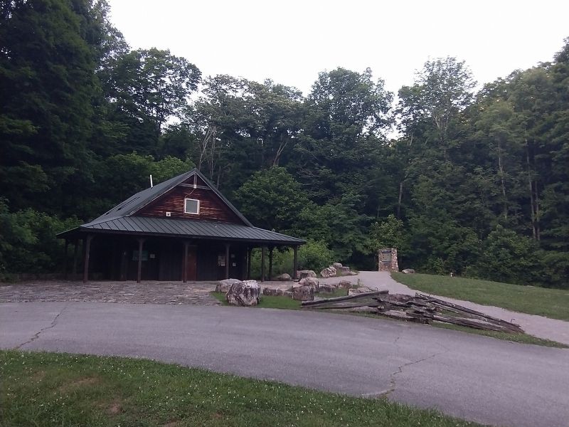
4. Welcome to Cascades Marker
Photographed by Tom Bosse, July 2, 2026
5. Map to Cascades Falls
Credits. This page was last revised on July 29, 2026. It was originally submitted on July 7, 2026, by Tom Bosse of Jefferson City, Tennessee. This page has been viewed 20 times since then. Photos: 1, 2, 3, 4, 5. submitted on July 7, 2026, by Tom Bosse of Jefferson City, Tennessee. • Andrew Ruppenstein was the editor who published this page.
