New Liskeard in Temiskaming Shores in Timiskaming District, Ontario — Central Canada (North America)
New Liskeard Beach
⎯⎯⎯
La plage de New Liskeard

Photographed by Cosmos Mariner, June 2, 2022
1. New Liskeard Beach / La plage de New Liskeard Marker

Erected by Province of Ontario, South Temiskaming SUD Community Futures Development Corporation, Federal Economic Development Agency for Northern Ontario.
Topics. This historical marker is listed in this topic list: Parks & Recreational Areas.
Location. 47° 29.994′ N, 79° 40.663′ W. Marker is in Temiskaming Shores, Ontario, in Timiskaming
this page online

Regionally, this marker is in Northeastern Ontario and specifically in Northern Ontario. It is also in Central Canada. Globally, it is in North America, the Great North Woods, the Western Hemisphere, the Western World, and the Anglosphere. Historically, it finds itself in what was once a British colony, the Viceroyalty of New France, the Haudenosaunee (Iroquois) Confederacy, and Rupert’s Land.
Other nearby markers. At least 8 other markers are within walking distance of this marker: Staking a Claim / Revendication d'un territoire (approx. one kilometer away); Ottawa River / Rivière des Outaouais (approx. one kilometer away); Northern Farm Country / Région agricole septentrionale (approx. one kilometer away); World War I and World War II Memorial (approx. one kilometer away); Gun Barrel (approx. one kilometer
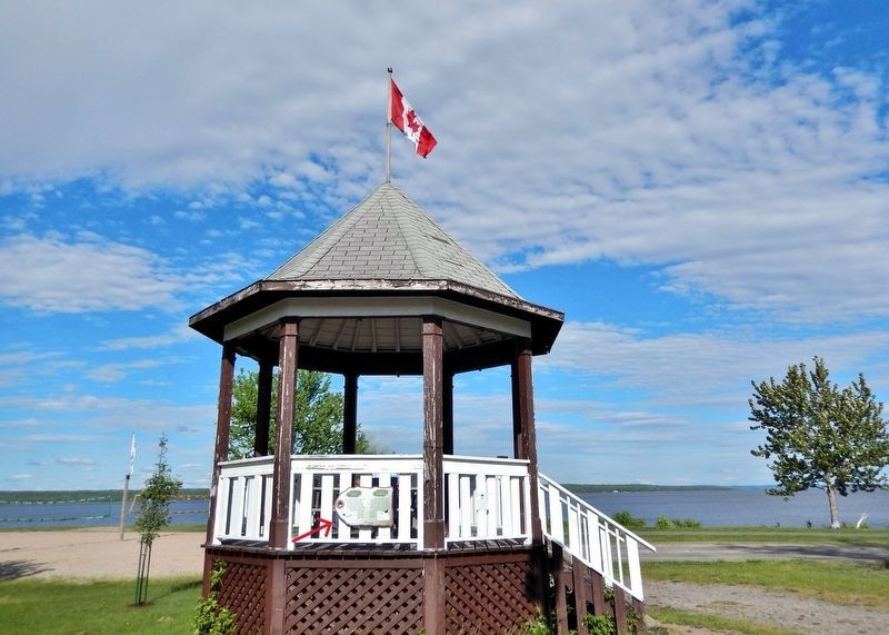
Photographed by Cosmos Mariner, June 2, 2022
2. New Liskeard Beach / La plage de New Liskeard Marker
The marker is mounted on the west side of the gazebo. New Liskeard Beach is in the background.
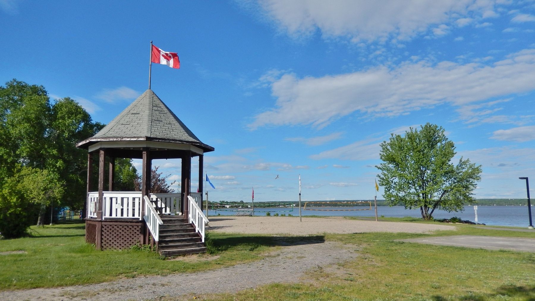
Photographed by Cosmos Mariner, June 2, 2022
3. New Liskeard Beach / La plage de New Liskeard
Credits. This page was last revised on July 9, 2026. It was originally submitted on July 8, 2026, by Cosmos Mariner of Cape Canaveral, Florida. This page has been viewed 8 times since then. Photos: 1, 2, 3. submitted on July 9, 2026, by Cosmos Mariner of Cape Canaveral, Florida.
