
Vienna in Lincoln Parish, Louisiana — The American South (West South Central)
Old Colvin Graveyard

Photographed by Jimmy Emerson, July 4, 2026
1. Old Colvin Graveyard Marker
The true settlement of Lincoln Parish began with the arrival from South Carolina of the Daniel Colvin family in 1809. Other branches of the Colvins came to this area during the 1850s and became the largest family of the region.
Erected 1976 by Lincoln Parish American Bicentennial Committee.
Topics and series. This historical marker is listed in these topic lists: Cemeteries & Burial Sites • Exploration • Settlements & Settlers. In addition, it is included in the The Spirit of ’76, America’s Bicentennial Celebration series list. A significant historical year for this entry is 1809.
Location. 32° 36.345′ N, 92° 38.896′ W. Marker is in Vienna, Louisiana, in Lincoln Parish. It is at the intersection of U.S. 63/167 and Rabb Road, on the right when traveling north on U.S. 63/167. Touch for map. Marker is at or near this postal address: 101 Dawson St, Dubach LA 71235, United States of America. Touch for directions.

Regionally, this marker is in North Louisiana. It is also in the American South, specifically in the Deep South, and in the Piney Woods. Globally, it is in North America, a Gulf of Mexico state,
this page online
Other nearby markers. At least 8 other markers are within 6 miles of this marker, measured as the crow flies: Pine Hills Church (within shouting distance of this marker); Old Wire Road (approx. one mile away); Vienna (approx. 1.3 miles away); Louisiana Chautauqua (approx. 3.7 miles away); Unionville General Store (approx. 4½ miles away); Kidd-Davis House (approx. 5 miles away); West Hill (approx. 5.2 miles away); First Presbyterian Church (approx. 5.3 miles away). Touch for a list and map of all markers in Vienna.
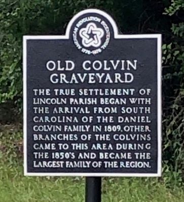
Photographed by Wesley Harris, June 7, 2023
2. Old Colvin Graveyard Marker
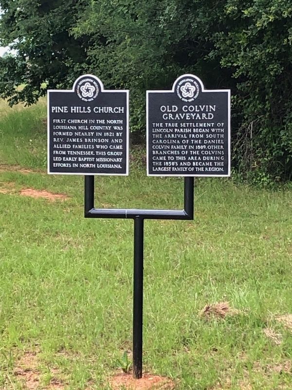
Photographed by Wesley Harris, May 21, 2023
3. Old Colvin Graveyard Marker
Credits. This page was last revised on July 9, 2026. It was originally submitted on June 7, 2023, by Wesley Harris of Ruston, Louisiana. This page has been viewed 658 times since then and 97 times this year. Last updated on July 9, 2026, by Jimmy Emerson of Dalton, Georgia. Photos: 1. submitted on July 6, 2026, by Jimmy Emerson of Dalton, Georgia. 2, 3. submitted on June 7, 2023, by Wesley Harris of Ruston, Louisiana. • Devry Becker Jones was the editor who published this page.
