Tobyhanna Township near Pocono Pines in Monroe County, Pennsylvania — The American Northeast (Mid-Atlantic)
Sullivan Bridge
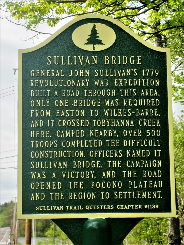
Photographed by Rick Bodenschatz, May 21, 2017
1. Sullivan Bridge Marker
General John Sullivan’s 1779 Revolutionary War expedition built a road through this area. Only one bridge was required from Easton to Wilkes-Barre, and it crossed Tobyhanna Creek here. Camped nearby, over 500 troops completed the difficult construction. Officers named it Sullivan Bridge. The campaign was a victory, and the road opened the Pocono Plateau and the region to settlement. Sullivan Trail Questers #1138
Erected 2017 by Sullivan Trail Questers #1138.
Topics and series. This historical marker is listed in these topic lists: Bridges & Viaducts • Roads & Vehicles • War, US Revolutionary. In addition, it is included in the Pennsylvania, Tobyhanna Township History Tour, and the The Sullivan-Clinton Expedition Against the Iroquois Indians series lists. A significant historical month for this entry is May 1779.
Location. 41° 6.656′ N, 75° 30.281′ W. Marker is near Pocono Pines, Pennsylvania, in Monroe County. It is in Tobyhanna Township. It is on State Road 940, on the right when traveling east. It is at the east end of Sullivan Bridge. Touch for map. Marker is in this post office area: Pocono Lake PA 18347,
this page online

Regionally, this marker is in the Pocono Mountains and in Greater Scranton and Wilkes-Barre. It is also in the American Northeast, in the Mid-Atlantic, in Appalachia, and specifically in Northern Appalachia. Globally, it is in North America, the Western Hemisphere, the Western World, and the Anglosphere. Historically, it finds itself in what was once the Haudenosaunee (Iroquois) Confederacy and also one of the original Thirteen Colonies.
Other nearby markers. At least 8 other markers are within 2 miles of this marker, measured as the crow flies: William Henry Christman (approx. half a mile away); Isaac Stauffer (approx. 0.8 miles away); The Lumbering Industry (approx. one mile away); Forest Products Industry (approx. one mile away); Salem United Church of Christ (approx. 1.2 miles away); Wagner's Tree Farm (approx. 1.3 miles away); Tobyhanna Township World War One Memorial (approx. 1½ miles away); Commitment to Education (approx. 1½ miles away). Touch for a list and map of all markers in Pocono Pines.
Also see . . . Sullivan Bridge Dedication Site. (Submitted on June 27, 2017, by Rick Bodenschatz of Pocono Pines, Pennsylvania.)
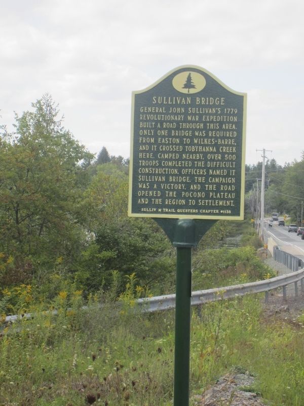
Photographed by Rick Bodenschatz, September 3, 2026
2. Sullivan Bridge Marker

Photographed by Rick Bodenschatz, May 21, 2017
3. Sullivan Bridge Marker, with modern day bridge in background.
This is a photo of the marker in a previous location.

National Park Service, Thomas Stone National Historic Site, January 4, 2019
4. Sullivan Bridge Marker
This is a photo of the marker in a previous location.
Credits. This page was last revised on September 15, 2026. It was originally submitted on May 24, 2017, by Rick Bodenschatz of Pocono Pines, Pennsylvania. This page has been viewed 1,503 times since then and 87 times this year. Last updated on July 9, 2026, by Rick Bodenschatz of Pocono Pines, Pennsylvania. Photos: 1. submitted on May 24, 2017, by Rick Bodenschatz of Pocono Pines, Pennsylvania. 2. submitted on September 4, 2026, by Rick Bodenschatz of Pocono Pines, Pennsylvania. 3. submitted on May 24, 2017, by Rick Bodenschatz of Pocono Pines, Pennsylvania. 4. submitted on August 8, 2019. • Devry Becker Jones was the editor who published this page.
