Kinston in Lenoir County, North Carolina — The American South (South Atlantic)
Foster's Raid
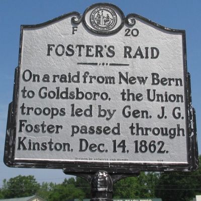
On a raid from New Bern to Goldsboro, the Union troops led by Gen. J.G. Foster passed through Kinston, Dec. 14, 1862.
Erected 1934 by Division of Archives and History. (Marker Number F-20.)
Topics and series. This historical marker is listed in this topic list: War, US Civil. In addition, it is included in the North Carolina Division of Archives and History series list. A significant historical date for this entry is December 14, 1862.
Location. 35° 14.678′ N, 77° 35.041′ W. Marker is in Kinston, North Carolina, in Lenoir County. Marker is at the intersection of South Queen Street (U.S. 258) and East New Bern Road (U.S. 70), on the right when traveling north on South Queen Street. Located on the exit off East New Bern Road (US 70) onto Queen Street (US 258) leading across the Neuse River into Kinston. Touch for map. Marker is in this post office area: Kinston NC 28504, United States of America. Touch for directions.
Other nearby markers. At least 8 other markers are within walking distance of this marker. North Carolina (about 300 feet away, measured in a direct line); Richard Caswell Gatlin (about 300 feet away); Battle of Kinston (about 300 feet away); First Battle of Kinston (approx. ¼ mile away); Kinston Battlefield Park (approx. 0.3 miles away); The Night of December 13, 1862 (approx. 0.3 miles away); Fighting at Harriet's Chapel (approx. 0.3 miles away); The Site of Harriet's Chapel (approx. 0.3 miles away). Touch for a list and map of all markers in Kinston.
Also see . . . Explore Civil War Battlefields in Kinkson and Goldborough. Visit North Carolina website entry (Submitted on May 19, 2023, by Larry Gertner of New York, New York.)

Photographed By Craig Swain, May 2, 2010
3. Confederate Line
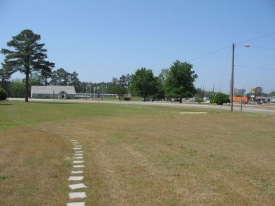
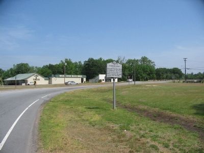
Looking past the marker location at the intersection of US 70 and 258 near the county visitor center. After pressed back from a line along Southwest Creek, the Confederates fell back to a position along the Dover Road (Modern US 70). Facing strong Federal attacks, the Confederates withdrew again across the Neuse using Jones Bridge.
Credits. This page was last revised on May 19, 2023. It was originally submitted on May 9, 2010, by Craig Swain of Leesburg, Virginia. This page has been viewed 997 times since then and 25 times this year. Photos: 1, 2, 3. submitted on May 9, 2010, by Craig Swain of Leesburg, Virginia.

